






Custom orders
Don't see your mountain?
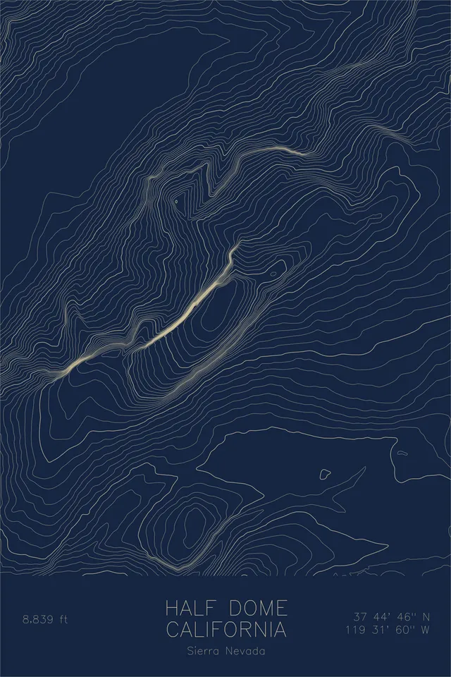
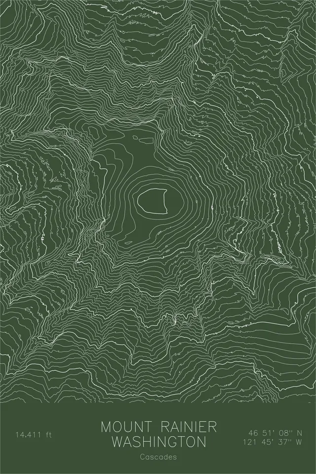
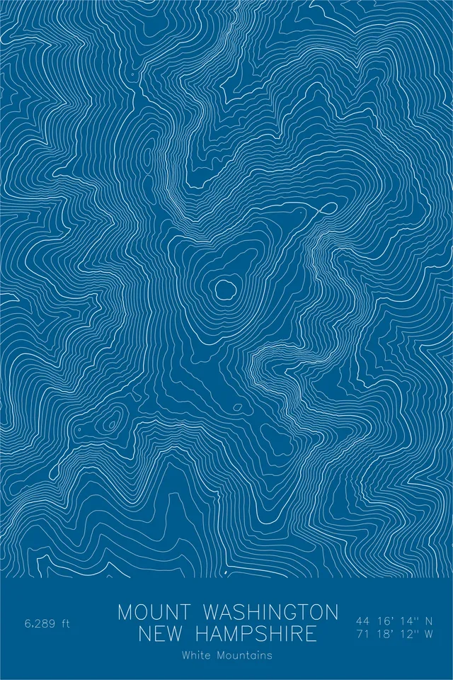
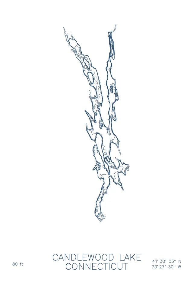
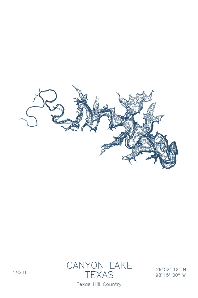
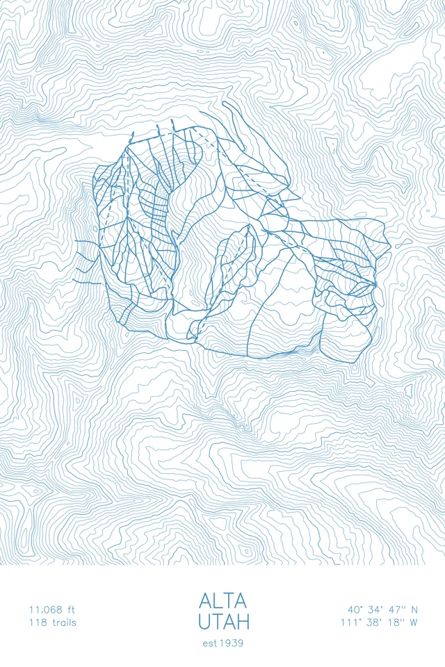
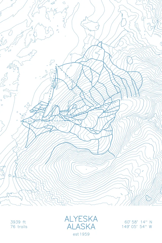
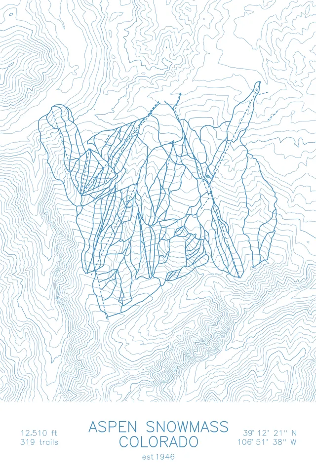
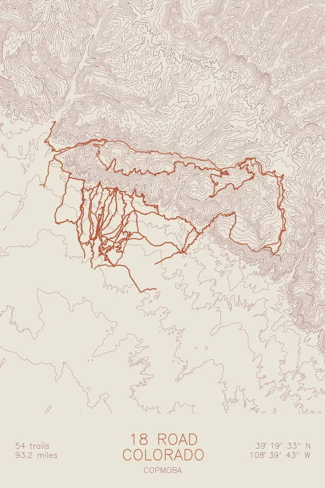
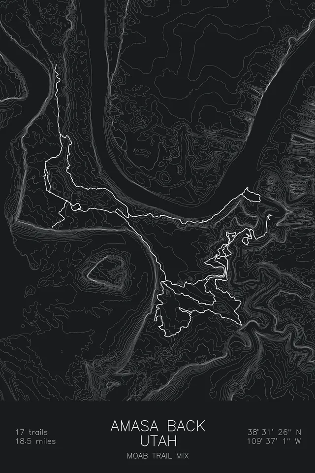
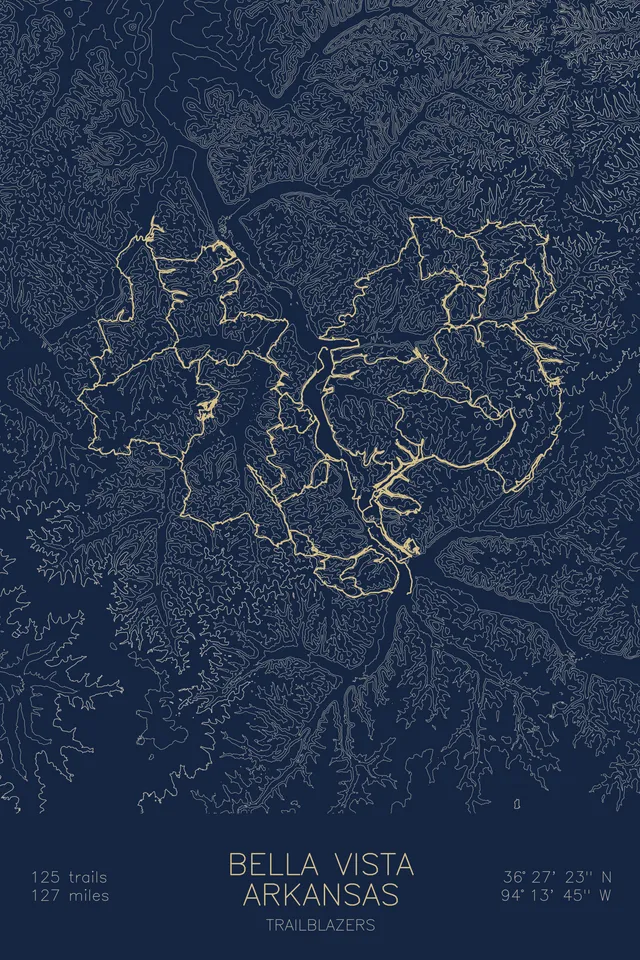
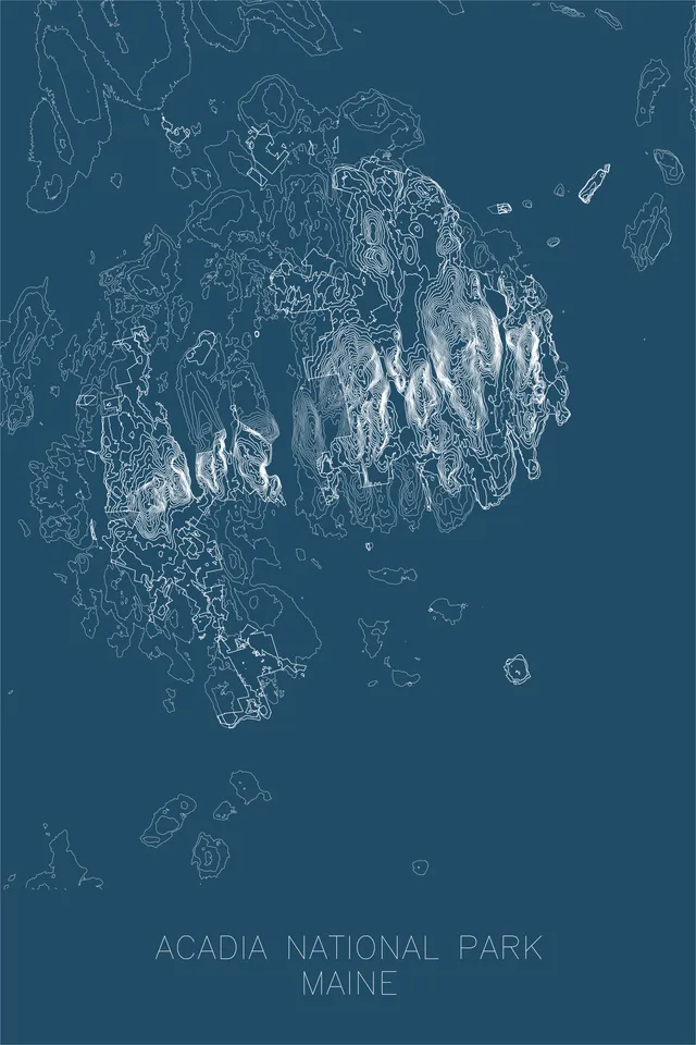
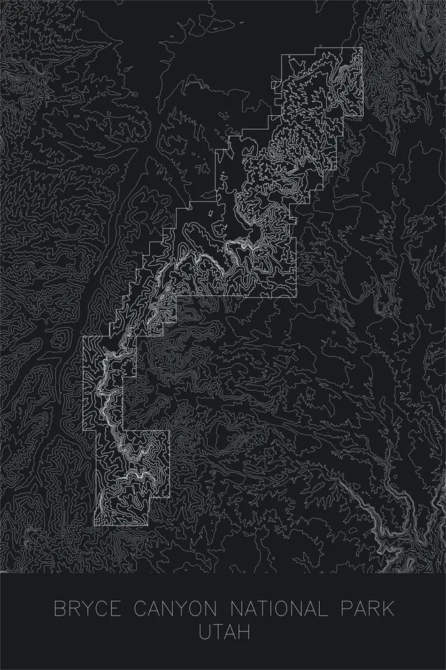
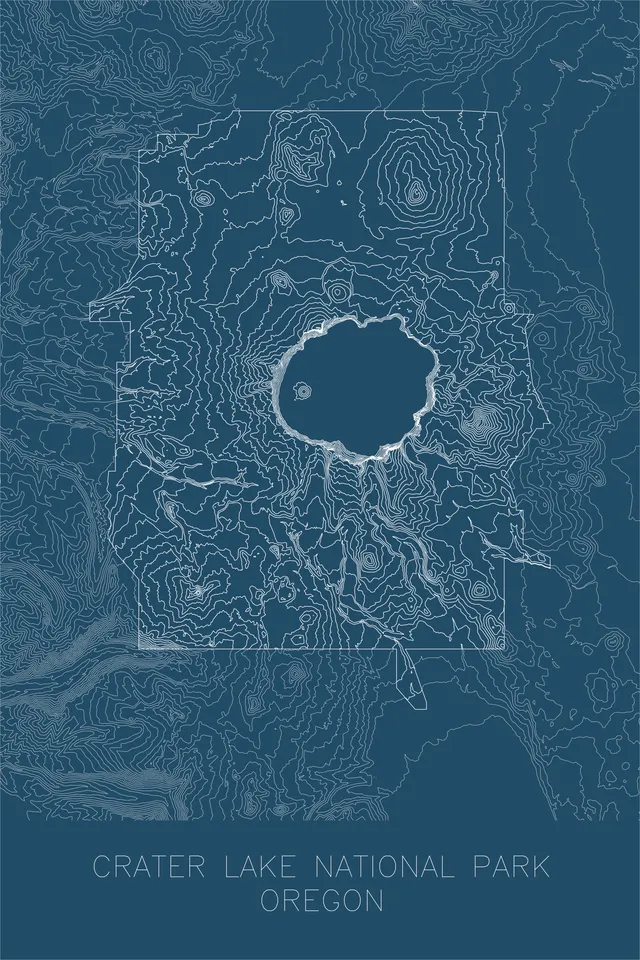
If the elevation data exists, we can probably plot it. Order a custom peak, ski resort, hiking or cycling route, or mountain bike network and you'll get a digital proof to approve before it's plotted. Something else in mind? Send us the place, or even raw coordinates, and we'll tell you what's possible.

Off the screen
Made to live on your wall
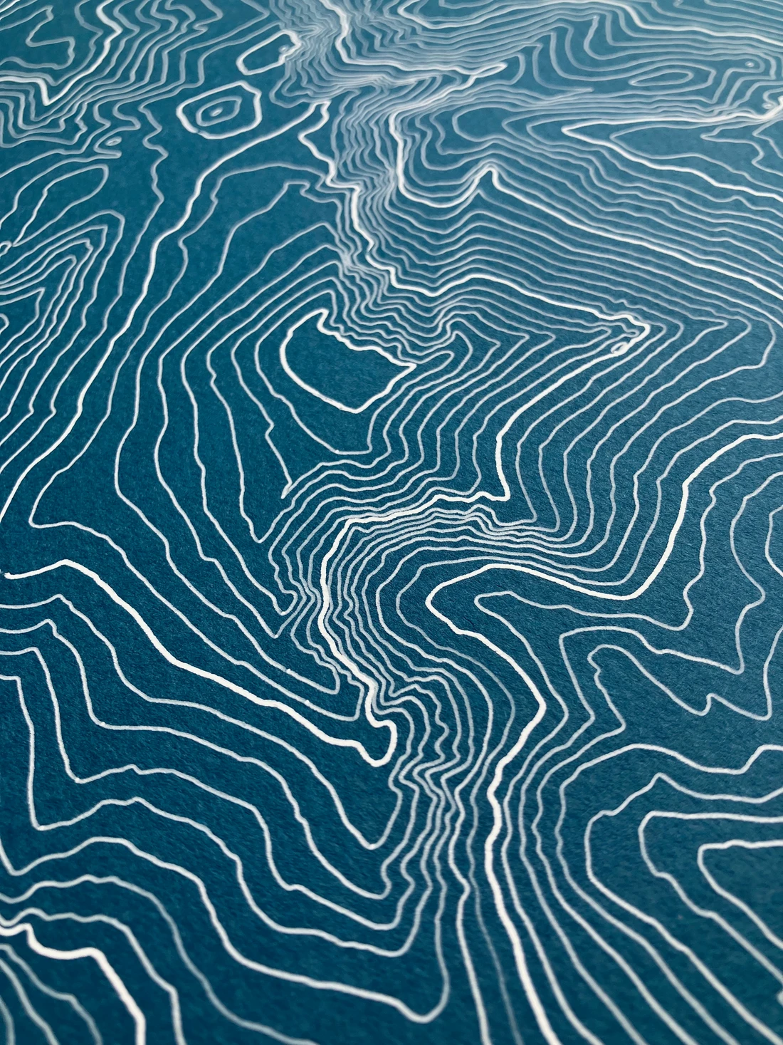
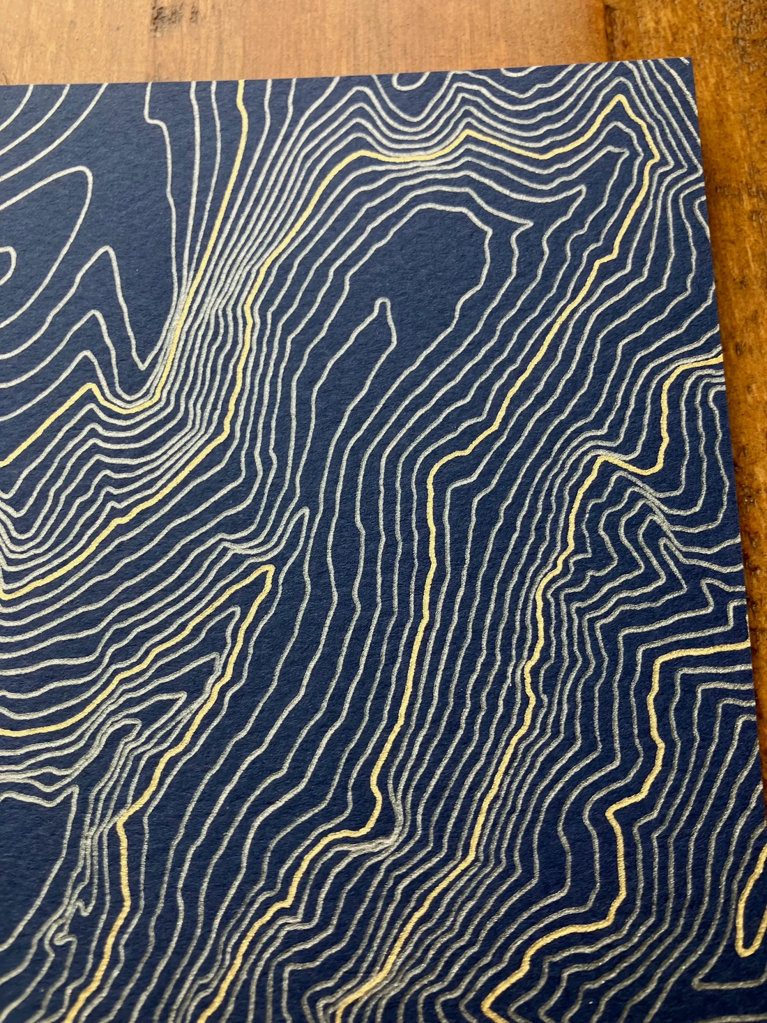
What you see on screen is a preview. The real thing has weight: archival cotton paper, pigment ink you can feel, and the small imperfections that come from a real pen touching real paper. Every map is signed and sized to fit standard frames.
Browse the collection →The process
Designed by data,
drawn by machine
Every map starts as raw geographic data: elevation models, coordinates, curated route lines. Custom algorithms turn that data into layered artwork, and a pen plotter draws every line on archival paper.
The result is the precision of code with the texture of real ink. Ink pools, thins, and catches the tooth of the paper differently on every pass.
- 01 / Drawn with a real pen
- 02 / Every line is real terrain
- 03 / No two plots are identical
Newsletter
Get 10% off your first map
Sign up for the newsletter and we'll send you a discount code, plus new releases, plotter videos, and behind-the-scenes updates.
Welcome to the list. Check your inbox to confirm.
Something went wrong. Please try again.