

Maine
Acadia National Park
$60
Color — Blue
Made to order — ships in 1–4 business days. Shipping & returns
Details
- 12 × 18 inches
- Printed on 98 lb (160 gsm) archival cotton rag paper
- Drawn using precision technical pens and archival inks
- Signed and dated on the back
- Ships flat, carefully protected and ready to frame
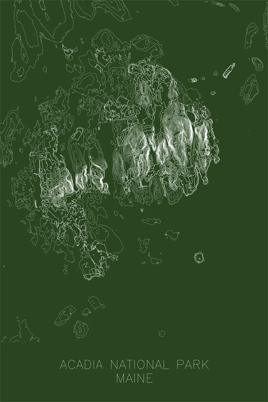
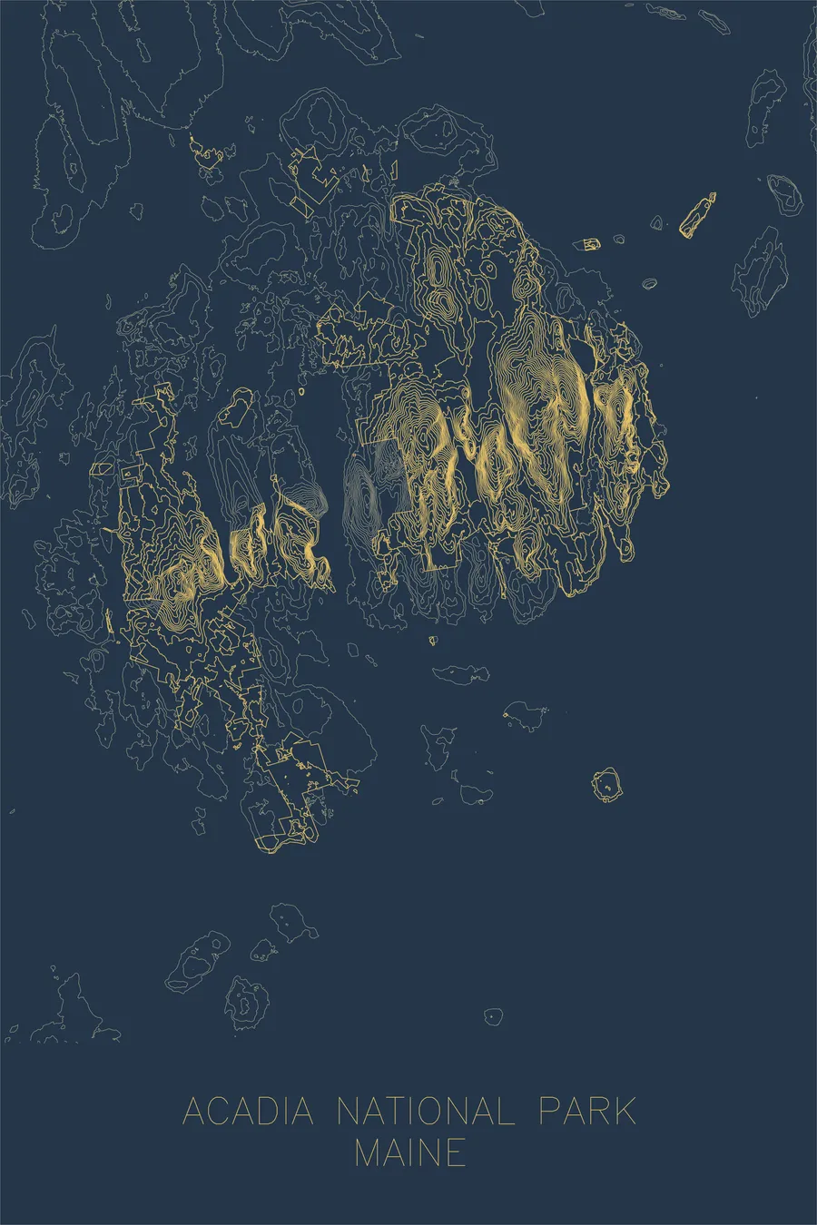
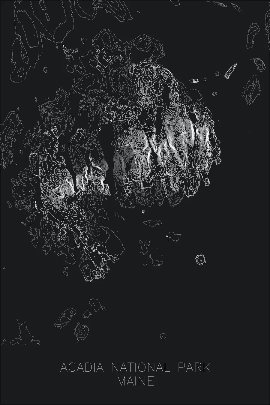
Each map begins with elevation data and is drawn by a pen plotter in our Vermont studio. The result merges mechanical precision with the organic texture and imperfections of real ink on paper.
Acadia National Park occupies most of Mount Desert Island off the coast of Maine, a landscape where the Appalachian Mountains meet the Atlantic Ocean. Cadillac Mountain, at 1,530 feet, is the highest point on the eastern seaboard north of Rio de Janeiro, and from October through March its summit is the first place in the United States to see the sunrise.
This map captures the distinctive terrain of an island shaped by glaciation, where rounded granite peaks rise abruptly from the sea. The contour lines trace the deep U-shaped valleys carved by ice, the narrow ridgelines that connect summit to summit, and the fjord-like intrusion of Somes Sound, the only fjord on the U.S. Atlantic coast. The result is a portrait of compression — an extraordinary amount of topographic drama packed into a small island at the edge of a continent.
Location Details
Location
Acadia National Park
Range
Appalachian
Region
New England
Elevation
1,530 ft / 466 m
Coordinates
44.3386, -68.2733
Type
national park
The first national park east of the Mississippi, where mountains meet the Atlantic
Off the Screen


Real-life examples in the selected colorway
More Maps


