Argentina
Aconcagua
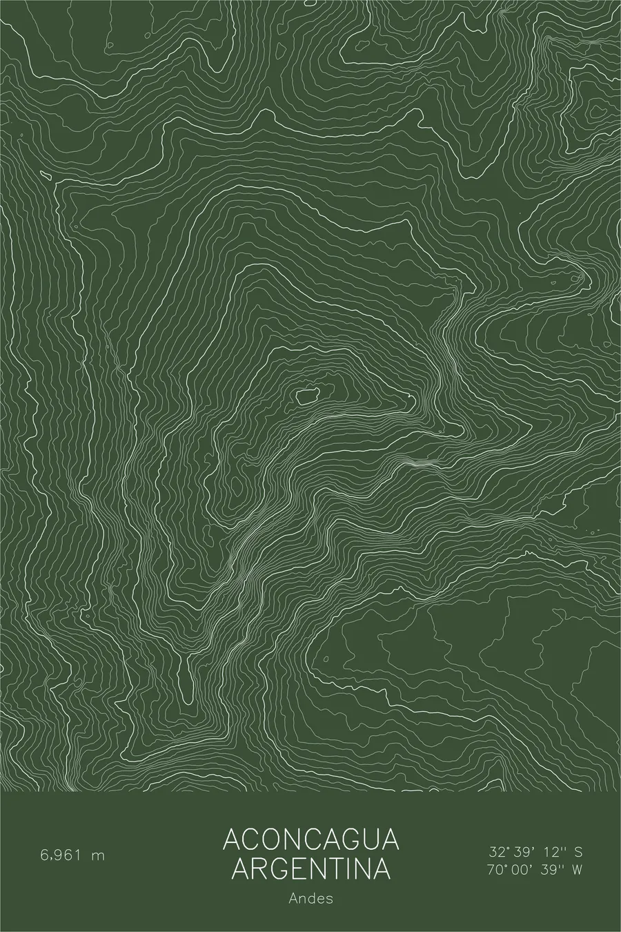
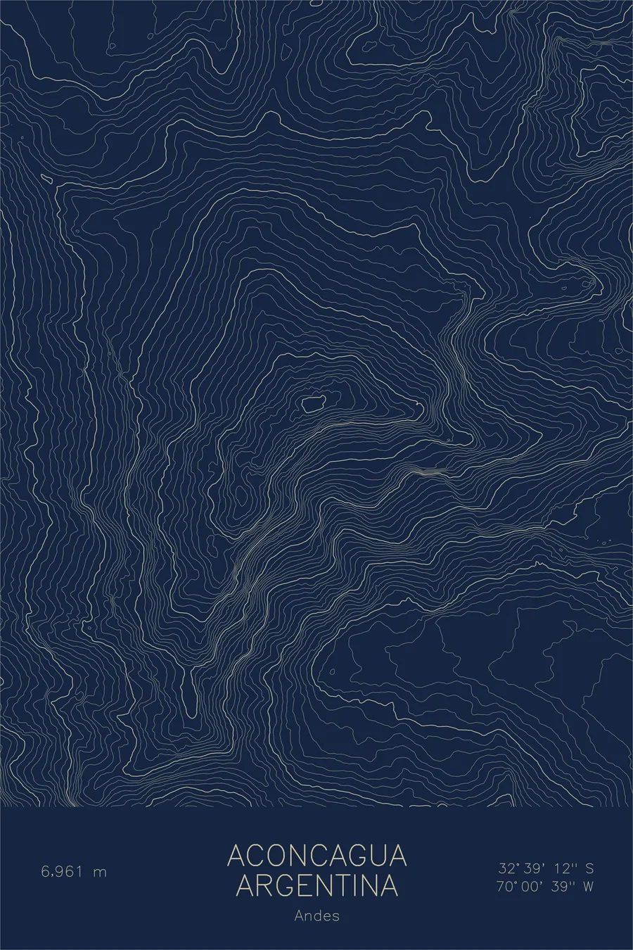
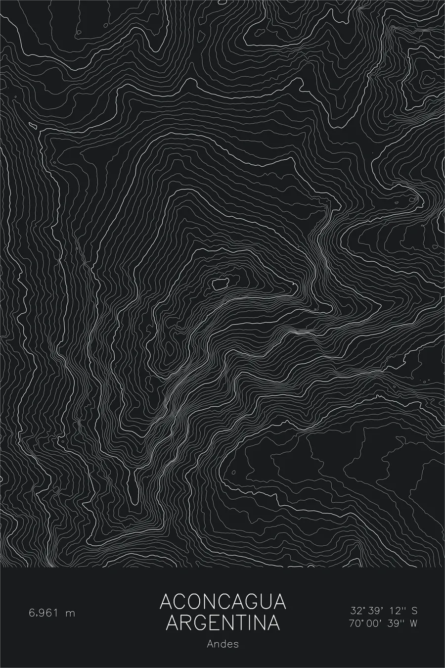
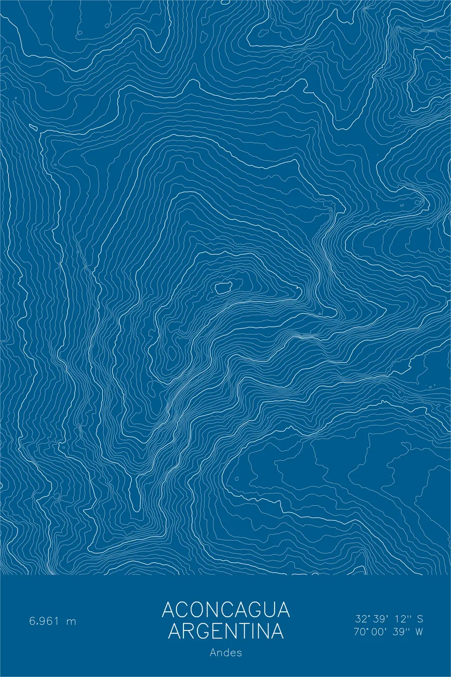
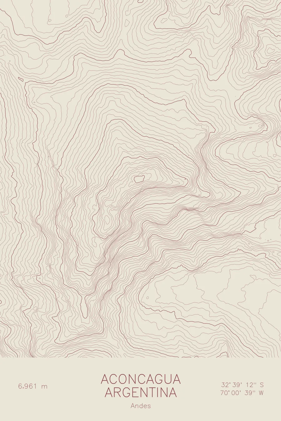
A pen-plotted topographic map of Aconcagua in the Andes, Argentina, drawn from real elevation contour data.
In 1985 climbers at 17,400 feet found an Inca boy buried around 1500 CE, first mistaken for a patch of grass.
$54
Ink & paper: Black
Size: 12×18"
+Personalize this map
+ Details
- 12 × 18 inches
- Drawn on 98 lb (160 gsm) archival cotton paper
- Precision technical pens and archival inks
- Signed and dated on the back
- Ships flat, protected, ready to frame
Each map begins with elevation data and is drawn by a pen plotter in our Vermont studio. Mechanical precision, plus the texture and small imperfections of real ink on paper.
Off the screen
In real rooms


+ About this map
The Inca were climbing high on Aconcagua five hundred years before anyone brought ropes. On January 8, 1985, five climbers from the Club Andinista Mendoza found the frozen body of a seven-year-old Inca boy at 17,388 feet on the mountain’s southwestern slopes, a sacrifice victim who had lain there for more than 500 years. They hiked back to Mendoza to alert the archaeologist Juan Schobinger, who climbed up with a volunteer team fifteen days later to excavate. At 22,838 feet, Aconcagua is the highest mountain outside Asia, and its Normal Route requires no technical climbing, which the Inca had evidently worked out for themselves.
This map captures the sweep of the entire massif. The contour lines pack tightly along the South Face, where the mountain falls away toward the Horcones Inferior glacier, and open into the long valleys that carry climbers toward base camp. The Polish Glacier shows on the northeast flank, and the summit ridge links the north and south summits at the top of the Andes.
+ Map details
- Aconcagua
- Argentina
- Andes
- Andes
- 22,838 ft / 6,961 m
- 32.6532S 70.0109W
- Mountain topographic map
- Original pen plot, archival ink on cotton paper
- 8 × 12 in · 12 × 18 in · 18 × 24 in
- Highest peak outside Asia, Seven Summits
More maps