New York
Algonquin Peak
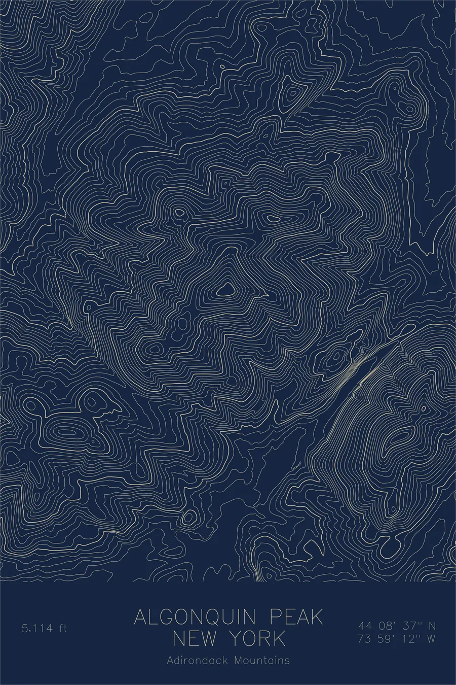
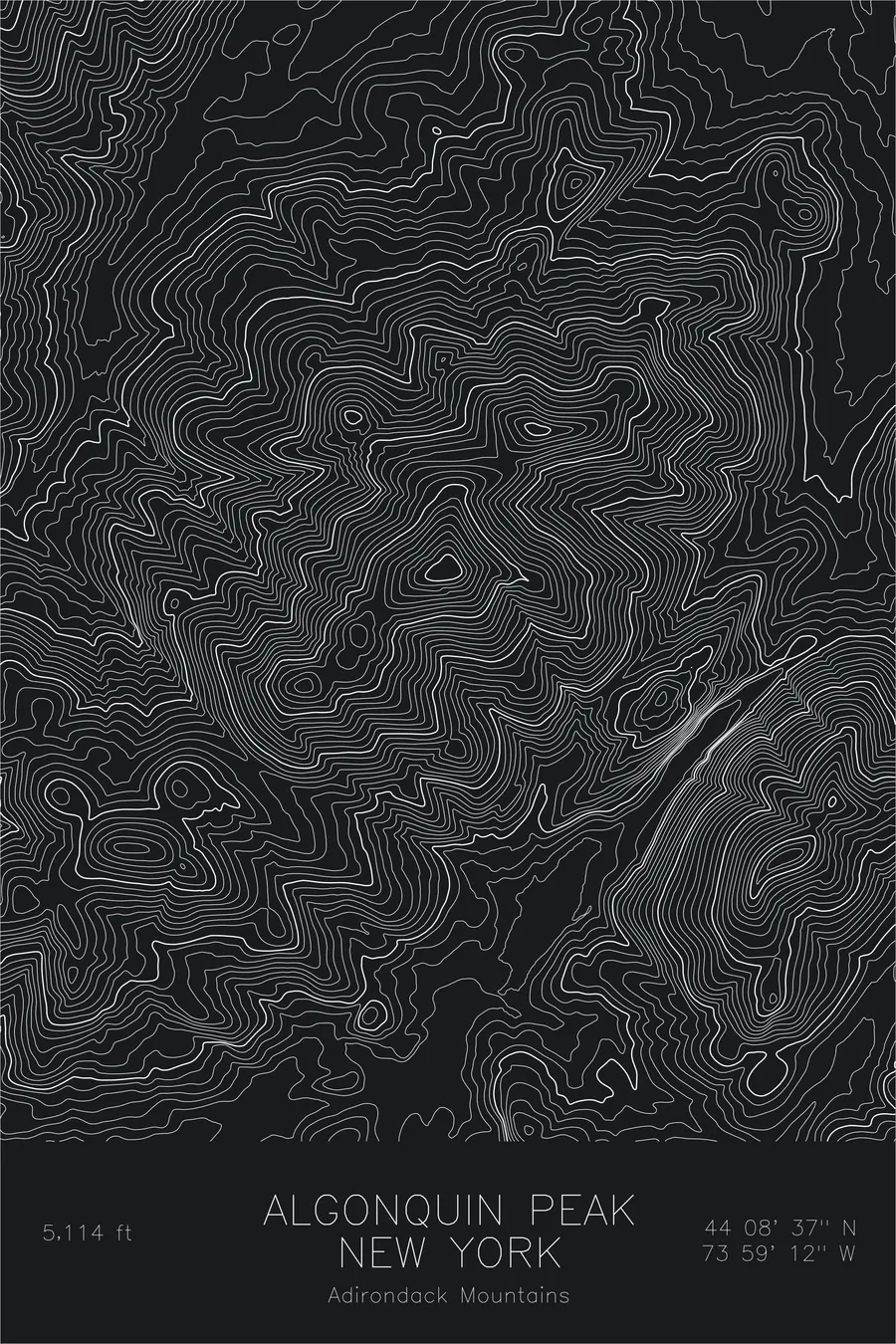
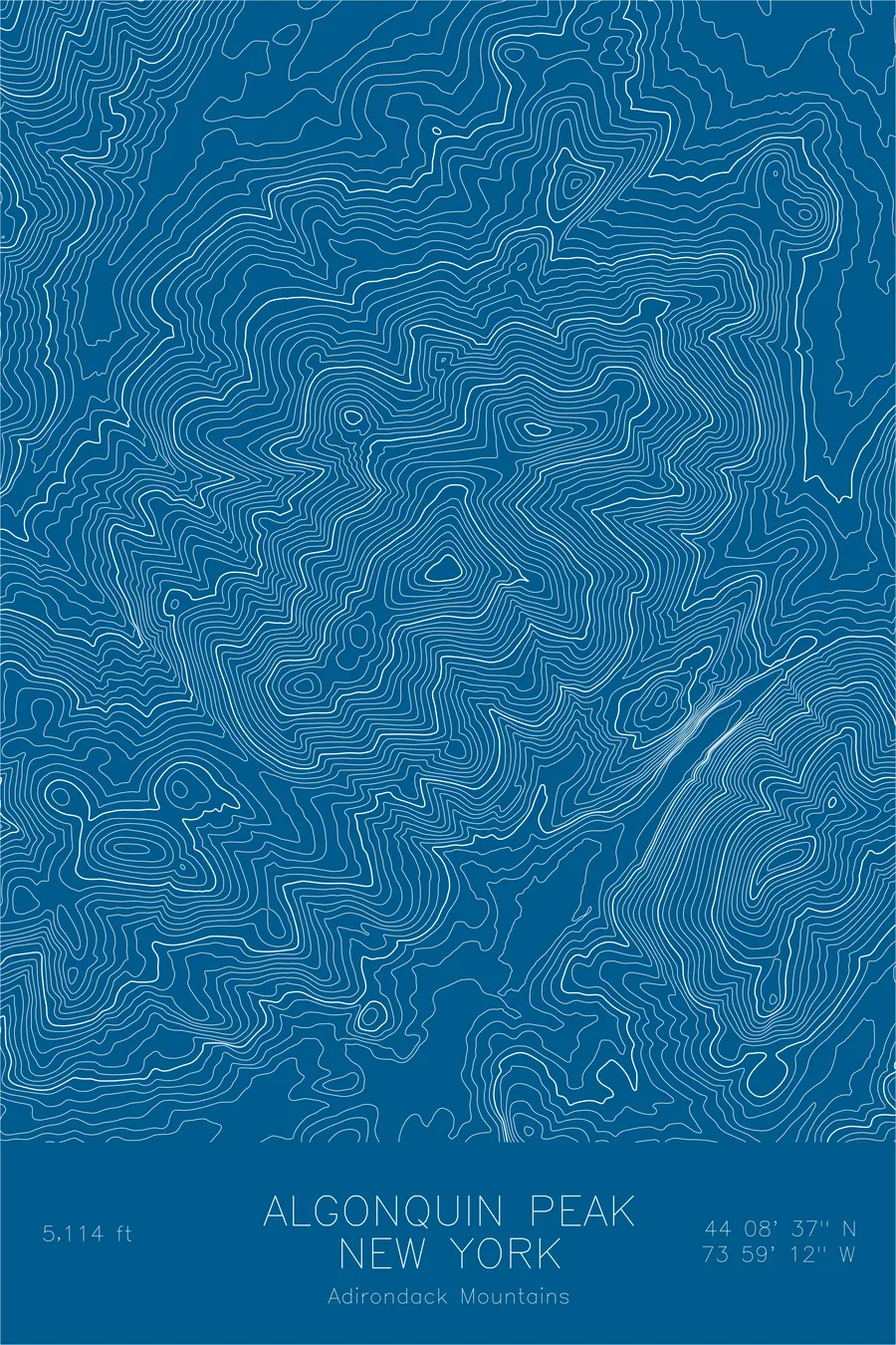
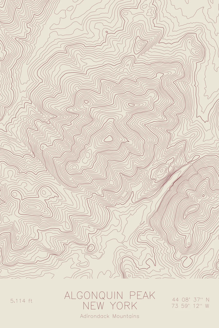
A pen-plotted topographic map of Algonquin Peak in the Adirondack Mountains, New York, drawn from real elevation contour data.
Second highest Adirondack peak, popular 46er summit. 5,114 feet above sea level.
$54
Ink & paper: Green
Size: 12×18"
+Personalize this map
+ Details
- 12 × 18 inches
- Drawn on 98 lb (160 gsm) archival cotton paper
- Precision technical pens and archival inks
- Signed and dated on the back
- Ships flat, protected, ready to frame
Each map begins with elevation data and is drawn by a pen plotter in our Vermont studio. Mechanical precision, plus the texture and small imperfections of real ink on paper.
Off the screen
In real rooms


+ About this map
Algonquin Peak rises 5,114 feet in the heart of the Adirondack High Peaks, second in New York only to Mount Marcy. It anchors the MacIntyre Range, and its bare summit holds one of the few patches of true alpine tundra in the state, a remnant ecosystem left behind by the last ice age. For hikers working through the Adirondack 46ers, Algonquin is one of the defining climbs.
This map traces the full MacIntyre Range, with Wright Peak and Iroquois Peak flanking Algonquin along the summit ridge. The contour lines squeeze tight on the eastern side, where the range drops toward Avalanche Pass and Avalanche Lake in one of the steepest walls in the Adirondacks. To the west the lines open into Indian Pass, framing the compact, glacially carved character of the High Peaks.
+ Map details
- Algonquin Peak
- New York
- United States
- Adirondack Mountains
- Northeast
- 5,114 ft / 1,559 m
- 44.1436N 73.9867W
- Mountain topographic map
- Original pen plot, archival ink on cotton paper
- 8 × 12 in · 12 × 18 in · 18 × 24 in
- Second highest Adirondack peak, popular 46er summit
More maps