Colorado
Arapahoe Basin
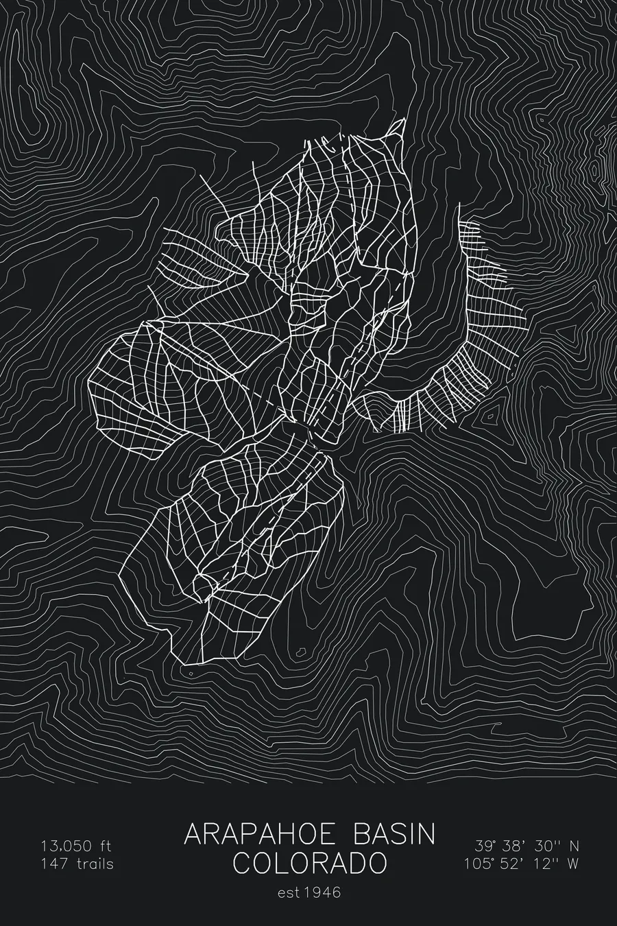
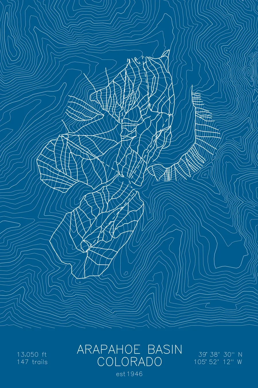
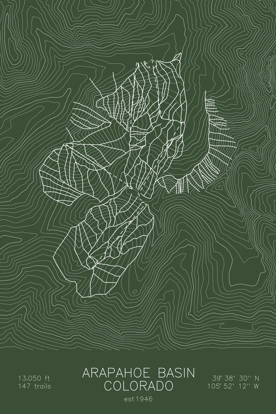
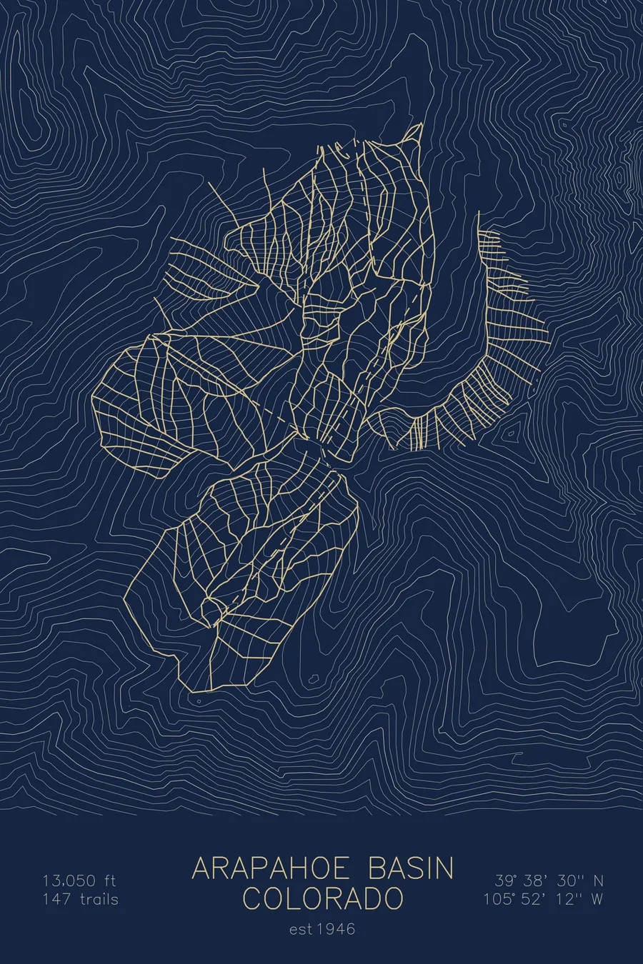
A topographic ski map of Arapahoe Basin, Colorado, with the resort's runs and lifts drawn over real terrain in a minimalist contour-line design.
In 1946-47 skiers reached the only rope tow by Army weapons carrier; a lift ticket cost $1.25.
$63
Ink & paper: Arctic White
Size: 12×18"
+Personalize this map
+ Details
- 12 × 18 inches
- Drawn on 98 lb (160 gsm) archival cotton paper
- Precision technical pens and archival inks
- Signed and dated on the back
- Ships flat, protected, ready to frame
Each map begins with elevation data and is drawn by a pen plotter in our Vermont studio. Mechanical precision, plus the texture and small imperfections of real ink on paper.
Off the screen
In real rooms


+ About this map
For its entire first season, the uphill transportation at Arapahoe Basin consisted of one rope tow and an Army weapons carrier. In the winter of 1946-47, skiers rode halfway up the mountain in the weapons carrier, towed behind a four-wheel-drive, to reach a single mid-mountain tow running off an army-surplus generator. Founder Larry Jump, a 10th Mountain Division veteran, had sunk his life savings of $25,000 into the place; at $1.25 a ticket, the 1,200 skier visits of that first season recovered $1,500 of it. The mountain sits on the Continental Divide near Loveland Pass, tops out above 13,000 feet, and runs one of the longest seasons in North America, often into June. Locals call it The Legend.
Its 147 trails favor the bold: the Pallavicini face, the hike-to chutes of the East Wall, and the open alpine terrain of Montezuma Bowl on the back side. There is no village and no pretense, just a parking lot, a beach, and a serious mountain. The contour lines on this map trace that terrain from the Divide down to the basin floor.
+ Map details
- Arapahoe Basin
- Colorado
- United States
- Rocky Mountains
- 13,050 ft / 3,978 m
- 39.6417N 105.8700W
- Ski resort trail map
- Original pen plot, archival ink on cotton paper
- 8 × 12 in · 12 × 18 in · 18 × 24 in
- Est. 1946. 147 trails
More maps