

Arkansas
Bella Vista
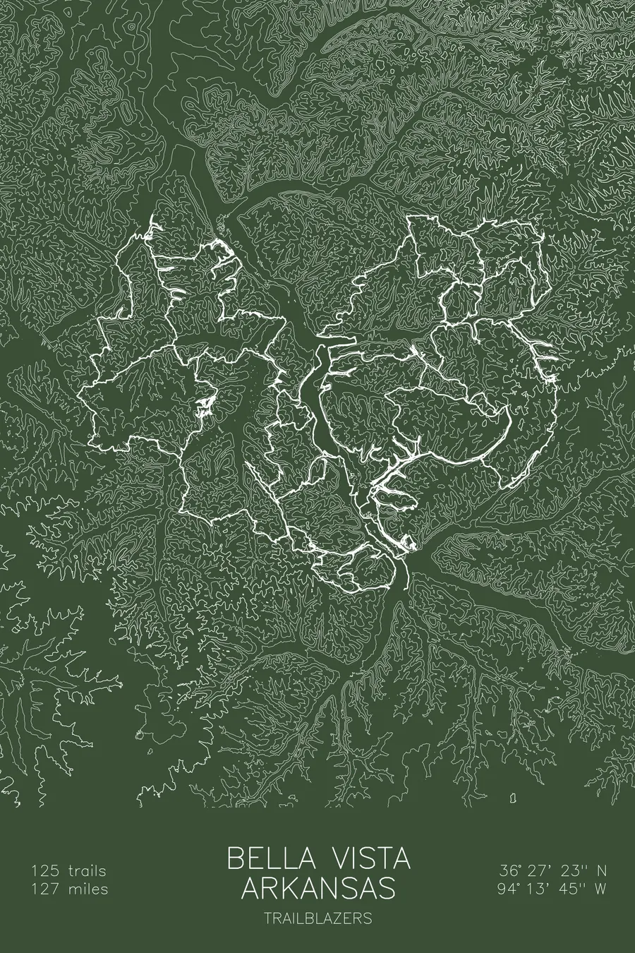
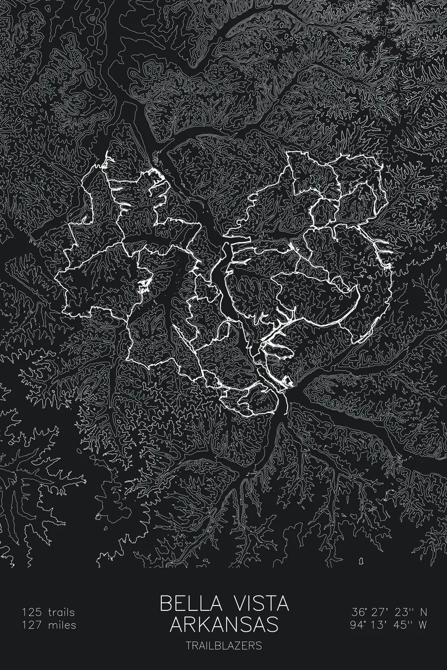
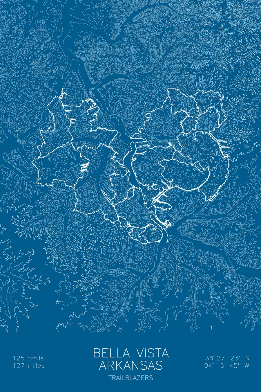
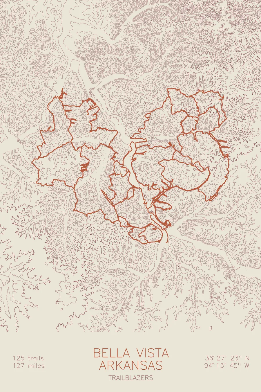
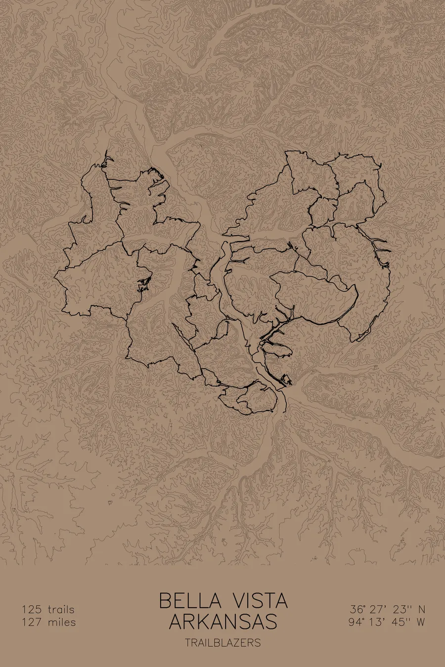
A mountain bike trail map of Bella Vista, Arkansas, combining the trail network with the surrounding topography.
Little Sugar took five trail-building companies two years, plus 8 tunnels and 3 steel bridges.
$63
Ink & paper: Navy
Size: 12×18"
+Personalize this map
+ Details
- 12 × 18 inches
- Drawn on 98 lb (160 gsm) archival cotton paper
- Precision technical pens and archival inks
- Signed and dated on the back
- Ships flat, protected, ready to frame
Each map begins with elevation data and is drawn by a pen plotter in our Vermont studio. Mechanical precision, plus the texture and small imperfections of real ink on paper.
Off the screen
In real rooms


+ About this map
It took five separate professional trail-building companies two years to build Little Sugar, which is the sort of staffing normally reserved for highway interchanges. Gravity Logic, Rock Solid Trail Contracting, Jagged Axe, Rogue Trails, and Progressive Trail Design all worked the same stretch of Ozark hills, and the finished system includes 8 tunnels and 3 steel bridges, paid for by a Walton Family Foundation grant to the City of Bella Vista. Together with the Back 40, the network here runs to 125 trails and 127 miles of singletrack just shy of the Missouri line, one of the largest connected systems in the country.
The map traces that whole web through the contours of the Ozark plateau. The contour lines show the terrain that shapes the riding: flat-topped ridges dropping into steep hollows, drainages that trails dive into and climb back out of, and the bluff lines where the rock breaks through. It reads less like a single mountain and more like a maze, which is exactly what riding here feels like.
+ Map details
- Bella Vista
- Arkansas
- United States
- Ozarks
- 1,467 ft / 447 m
- 36.4564N 94.2292W
- Mountain bike trail map
- Original pen plot, archival ink on cotton paper
- 8 × 12 in · 12 × 18 in · 18 × 24 in
- 125 trails, 127 miles of singletrack
More maps