Montana
Big Sky
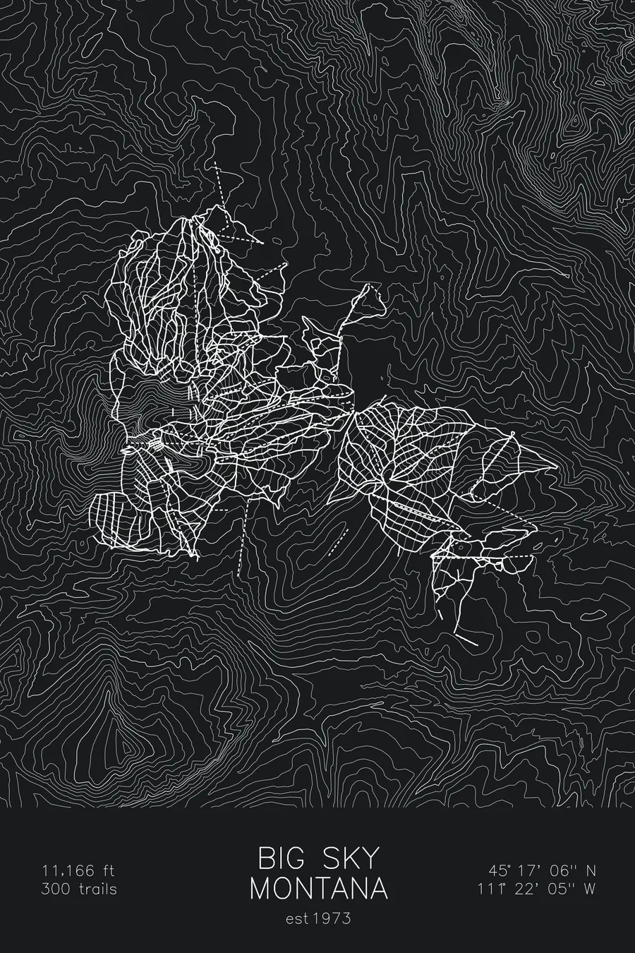
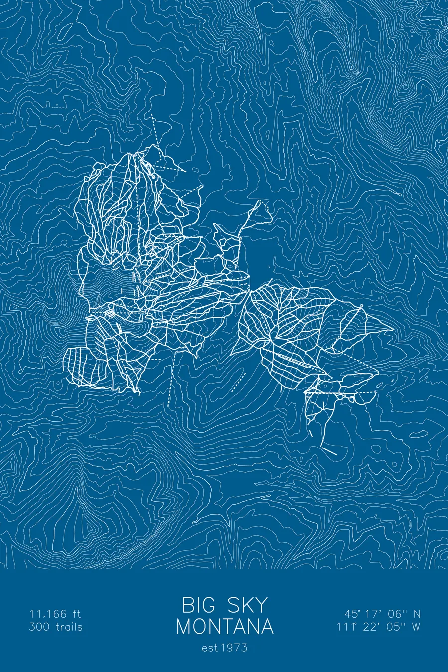
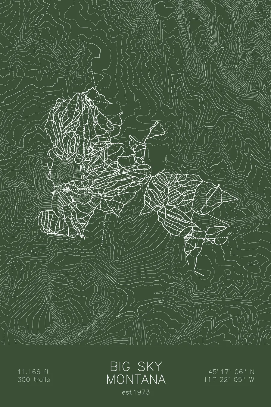
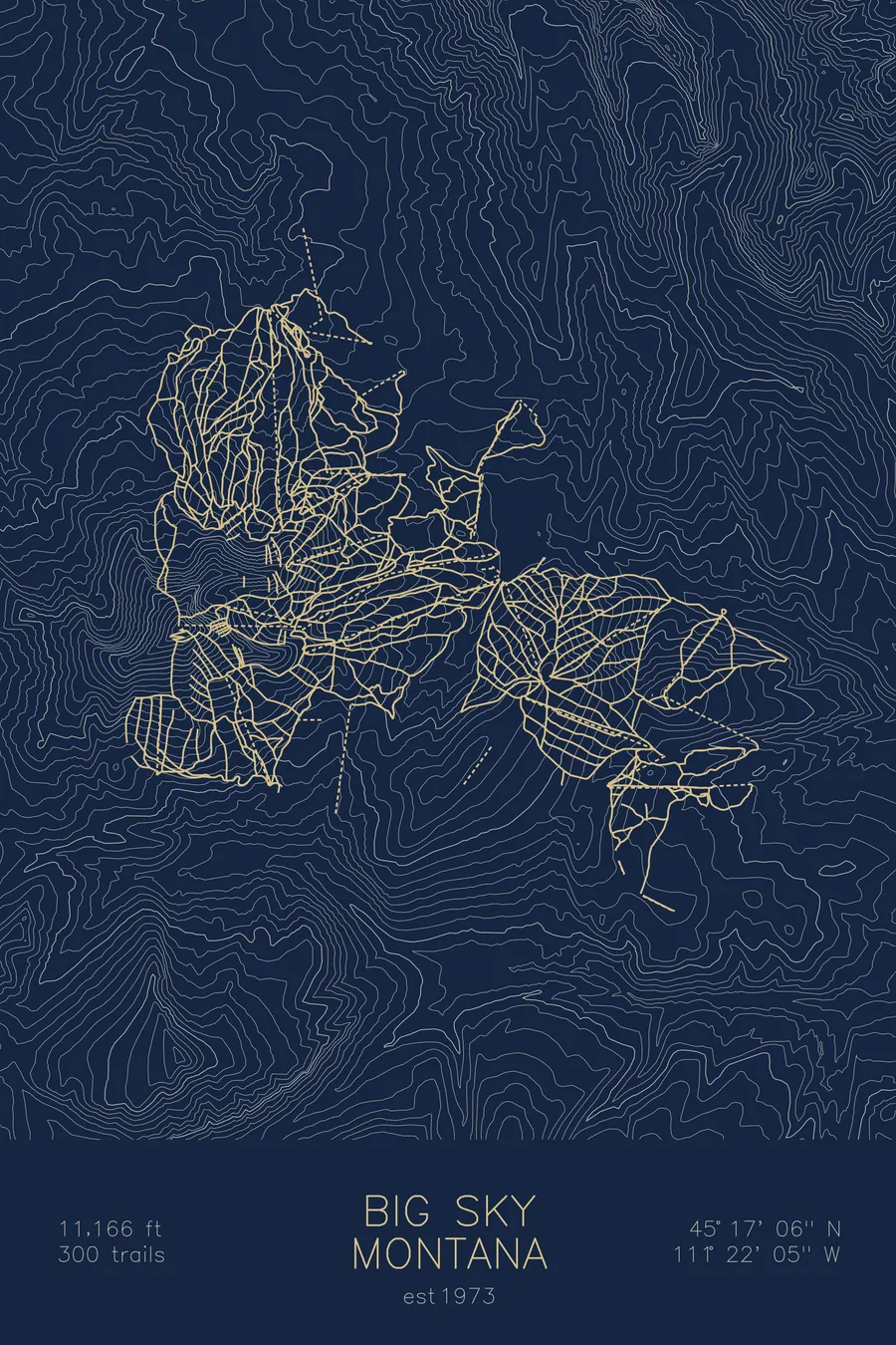
A topographic ski map of Big Sky, Montana, with the resort's runs and lifts drawn over real terrain in a minimalist contour-line design.
Founded by Chet Huntley, who left NBC's Huntley-Brinkley Report to build a ski resort in his home state.
$63
Ink & paper: Arctic White
Size: 12×18"
+Personalize this map
+ Details
- 12 × 18 inches
- Drawn on 98 lb (160 gsm) archival cotton paper
- Precision technical pens and archival inks
- Signed and dated on the back
- Ships flat, protected, ready to frame
Each map begins with elevation data and is drawn by a pen plotter in our Vermont studio. Mechanical precision, plus the texture and small imperfections of real ink on paper.
Off the screen
In real rooms


+ About this map
Big Sky was founded by a news anchor. Chet Huntley, the Montana-born co-anchor of NBC’s Huntley-Brinkley Report from 1956 to 1970, left one of the most famous jobs in American television to build a ski resort in his home state. The resort opened in December 1973; Huntley died on March 20, 1974, three days before its formal dedication. What he started is now one of the largest ski areas in North America, over 5,800 acres across four mountains in southwestern Montana, crowned by 11,166-foot Lone Mountain and some of the most challenging inbounds skiing on the continent.
+ Map details
- Big Sky
- Montana
- United States
- Rocky Mountains
- 11,166 ft / 3,403 m
- 45.2850N 111.3681W
- Ski resort trail map
- Original pen plot, archival ink on cotton paper
- 8 × 12 in · 12 × 18 in · 18 × 24 in
- Est. 1973. 300 trails
More maps