

New York
Big Slide Mountain
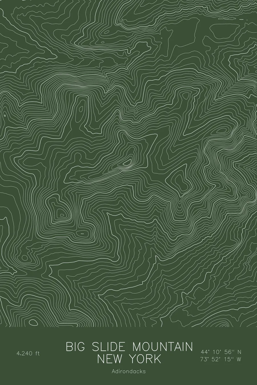
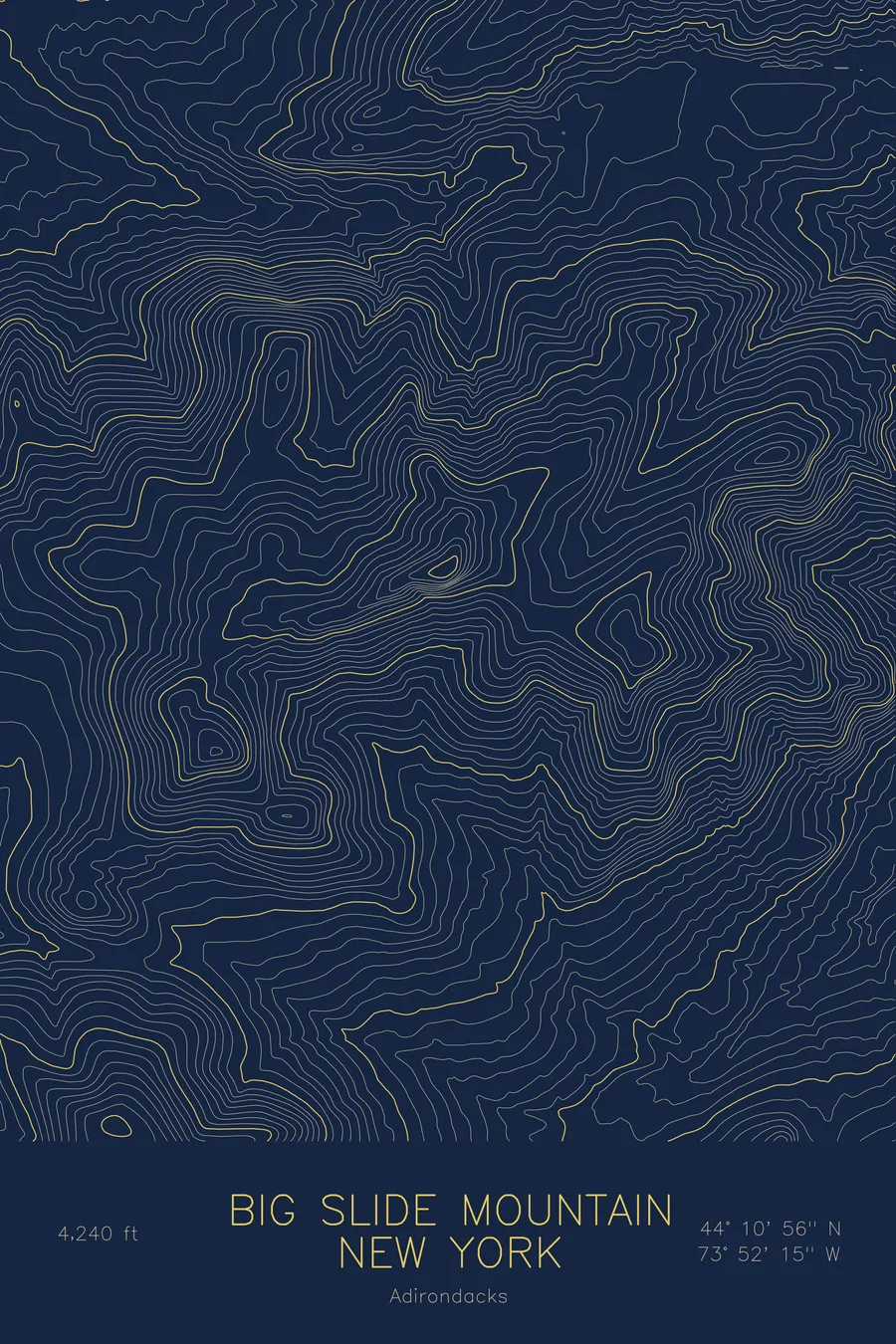
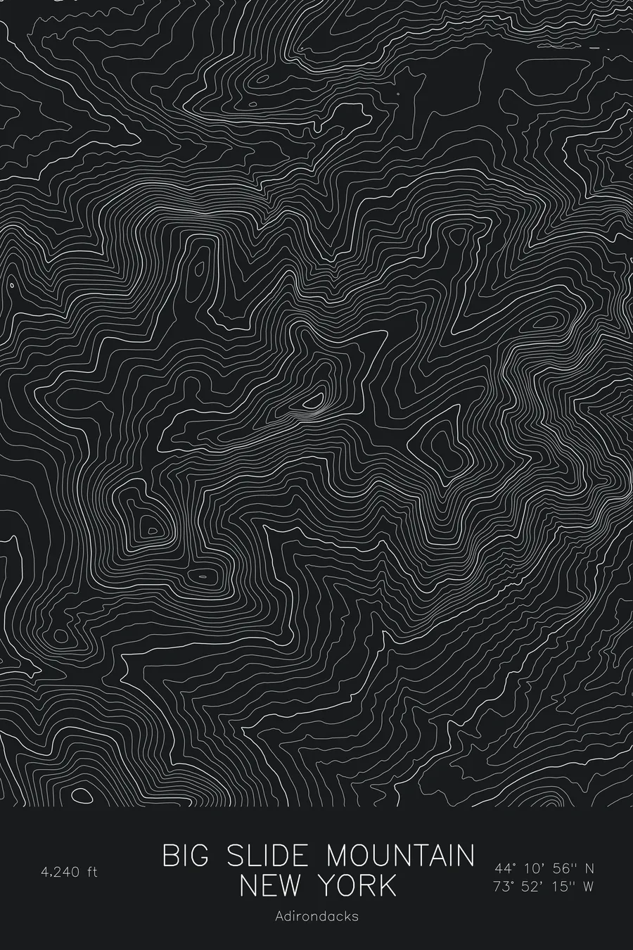
A pen-plotted topographic map of Big Slide Mountain in the Adirondacks, New York, drawn from real elevation contour data.
Adirondack High Peak above Johns Brook Valley, classic view of the Great Range. 4,240 feet above sea level.
$54
Ink & paper: Blue
Size: 12×18"
+Personalize this map
+ Details
- 12 × 18 inches
- Drawn on 98 lb (160 gsm) archival cotton paper
- Precision technical pens and archival inks
- Signed and dated on the back
- Ships flat, protected, ready to frame
Each map begins with elevation data and is drawn by a pen plotter in our Vermont studio. Mechanical precision, plus the texture and small imperfections of real ink on paper.
Off the screen
In real rooms


+ About this map
Big Slide Mountain stands at 4,240 feet above Johns Brook Valley in the Adirondack High Peaks, named for the long rock slide that scars its south face. From the summit ledge the whole Great Range lines up across the valley, Gothics to Marcy, which is why this is one of the most photographed views in the park. The usual approach climbs over the three rounded bumps of The Brothers.
This map shows a mountain built from one steep side and one gentle one. The contours compress on the south face where the slide falls away toward Johns Brook, then loosen across the Brothers ridge as it steps down toward Keene Valley. The valley floor of Johns Brook occupies the lower edge of the sheet, and the map’s elevation range, from roughly 2,000 feet to the 4,240-foot summit, captures the full rise from brook to ledge.
+ Map details
- Big Slide Mountain
- New York
- United States
- Adirondacks
- Adirondacks
- 4,240 ft / 1,292 m
- 44.1822N 73.8708W
- Mountain topographic map
- Original pen plot, archival ink on cotton paper
- 8 × 12 in · 12 × 18 in · 18 × 24 in
- Adirondack High Peak above Johns Brook Valley, classic view of the Great Range
More maps