

New Hampshire
Bondcliff
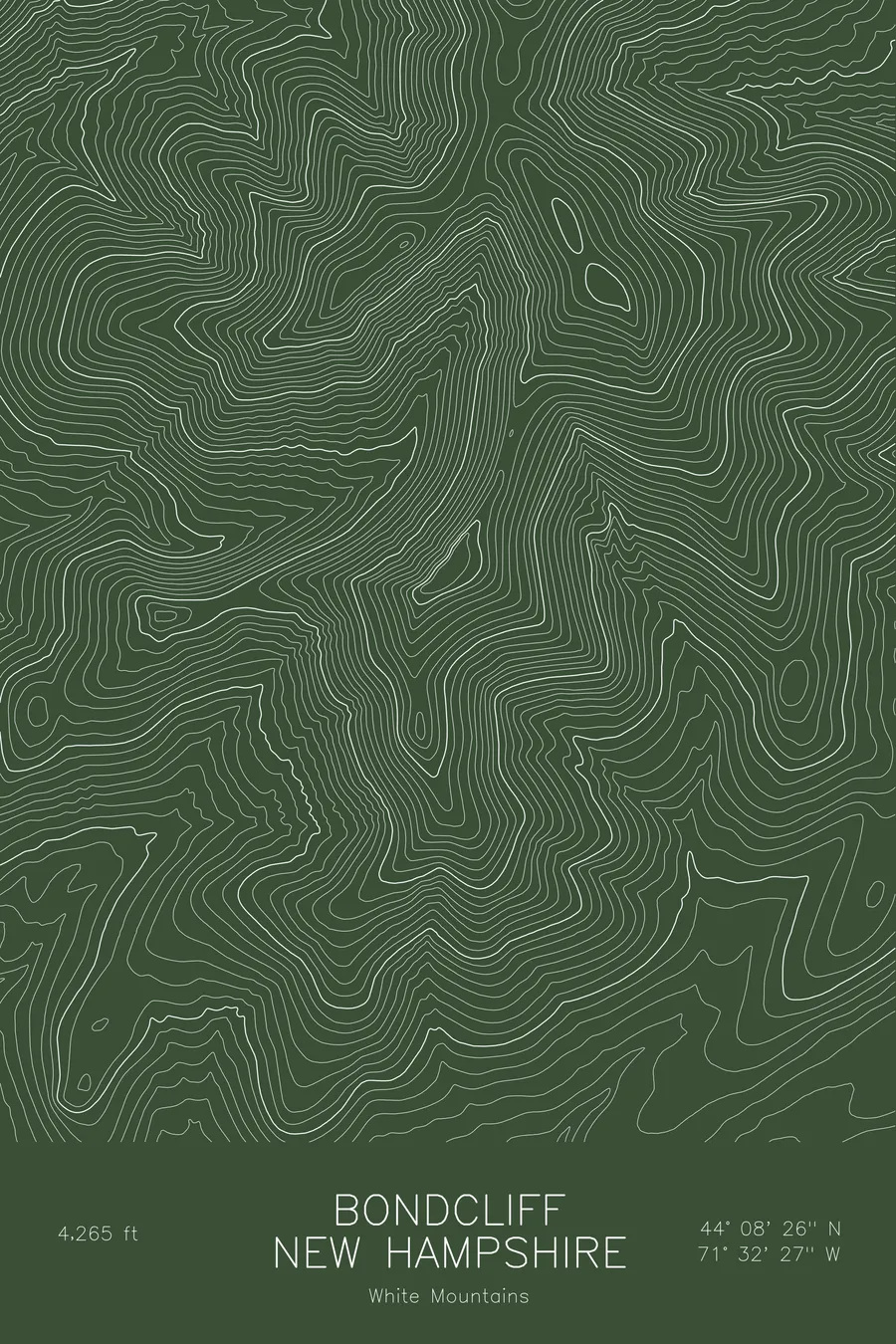
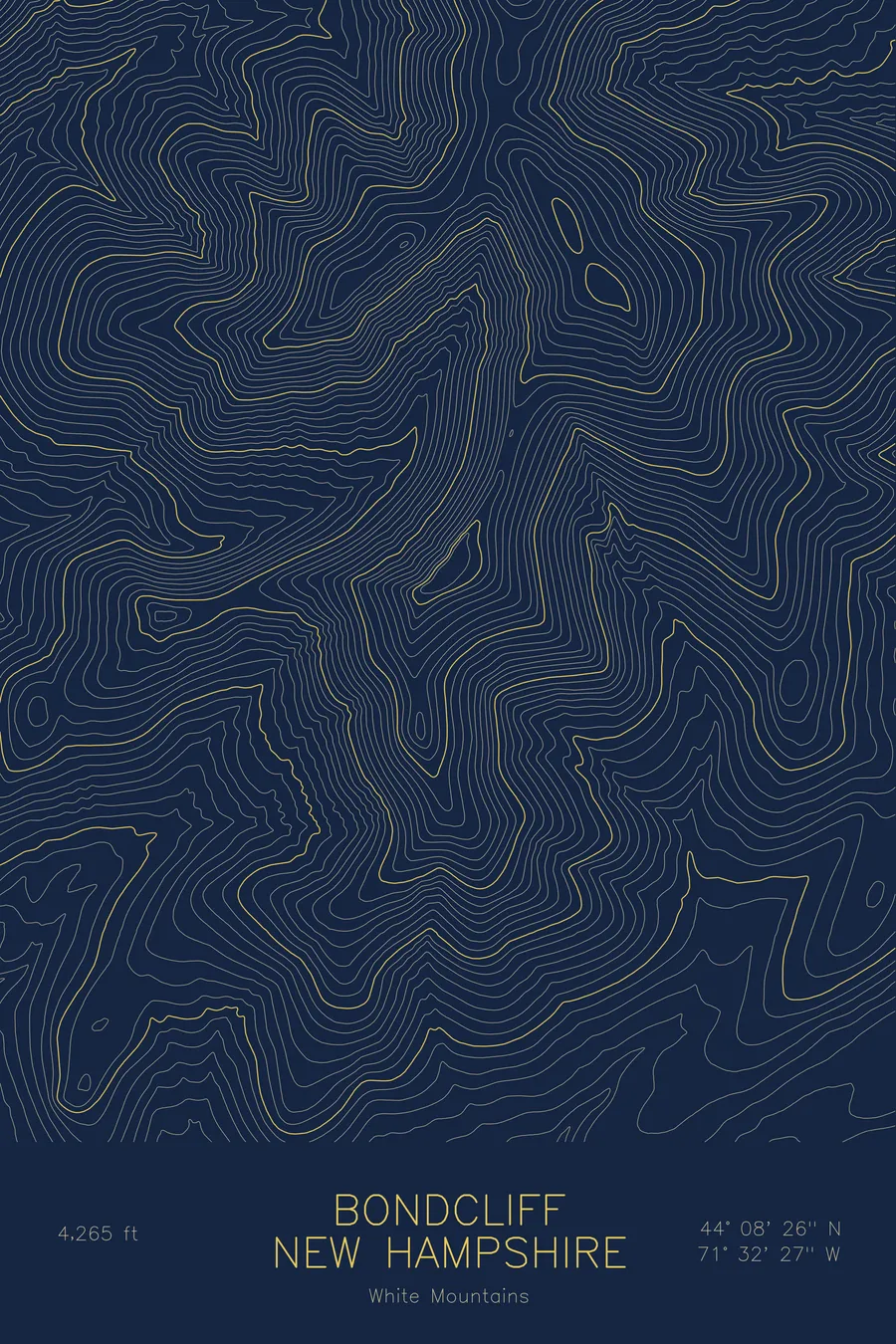
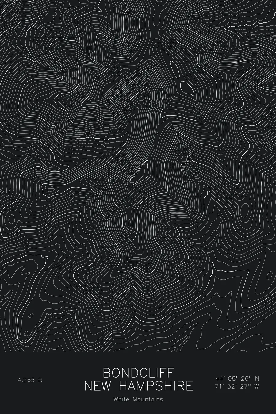
A pen-plotted topographic map of Bondcliff in the White Mountains, New Hampshire, drawn from real elevation contour data.
Iconic cliff-edge summit of the Bond traverse, Pemigewasset Wilderness. 4,265 feet above sea level.
$54
Ink & paper: Blue
Size: 12×18"
+Personalize this map
+ Details
- 12 × 18 inches
- Drawn on 98 lb (160 gsm) archival cotton paper
- Precision technical pens and archival inks
- Signed and dated on the back
- Ships flat, protected, ready to frame
Each map begins with elevation data and is drawn by a pen plotter in our Vermont studio. Mechanical precision, plus the texture and small imperfections of real ink on paper.
Off the screen
In real rooms


+ About this map
Bondcliff reaches 4,265 feet deep in New Hampshire’s Pemigewasset Wilderness, the outermost of the three Bonds and the most remote of the White Mountain 4,000-footers. It is known for its summit ridge, an open crest of ledges that ends abruptly at a line of cliffs, and for the long approach through the Pemi that keeps it quieter than the peaks along the roads.
This map shows the cliff band that gives the peak its name. The contour lines run along the summit ridge as a narrow, even strip, then collapse into near-vertical density on the cliff side where the mountain drops toward the Pemigewasset valley. To the northeast the ridge climbs toward Mount Bond, the highest point on the sheet, while the wide valley floors below sit at around 1,700 feet. The map spans just under 3,000 feet of relief between river and ridge.
+ Map details
- Bondcliff
- New Hampshire
- United States
- White Mountains
- White Mountains
- 4,265 ft / 1,300 m
- 44.1406N 71.5409W
- Mountain topographic map
- Original pen plot, archival ink on cotton paper
- 8 × 12 in · 12 × 18 in · 18 × 24 in
- Iconic cliff-edge summit of the Bond traverse, Pemigewasset Wilderness
More maps