

Idaho
Borah Peak
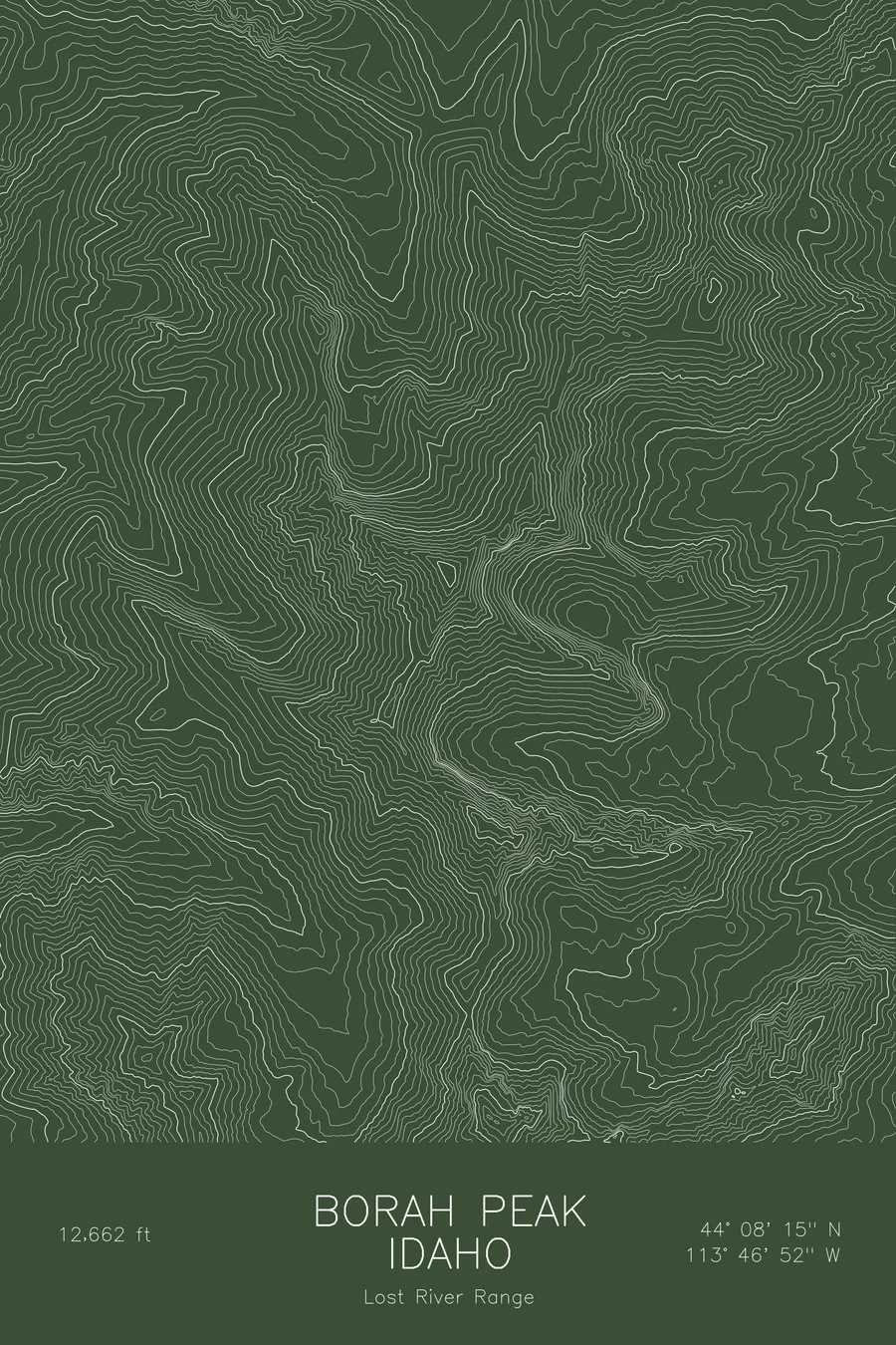
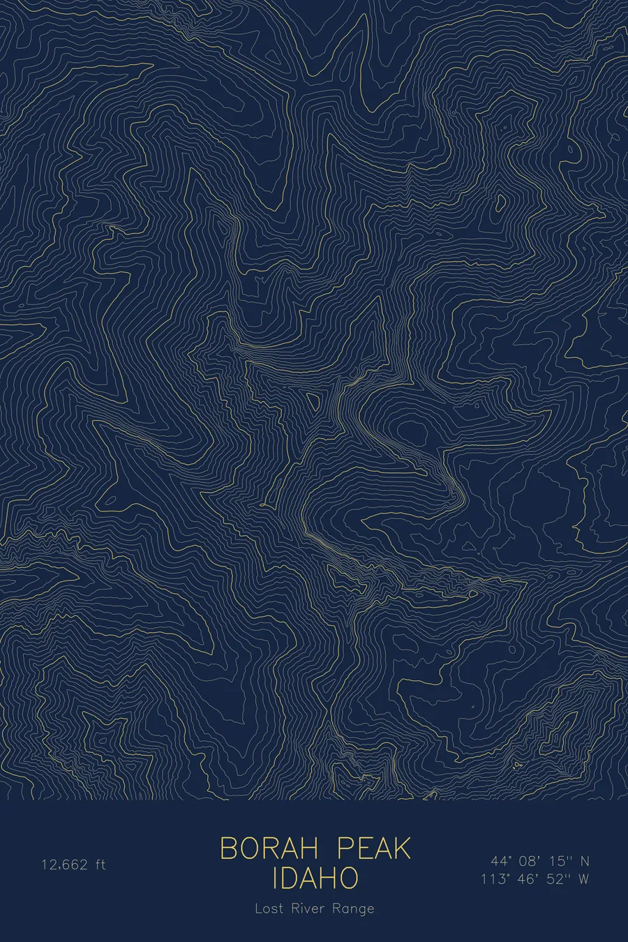
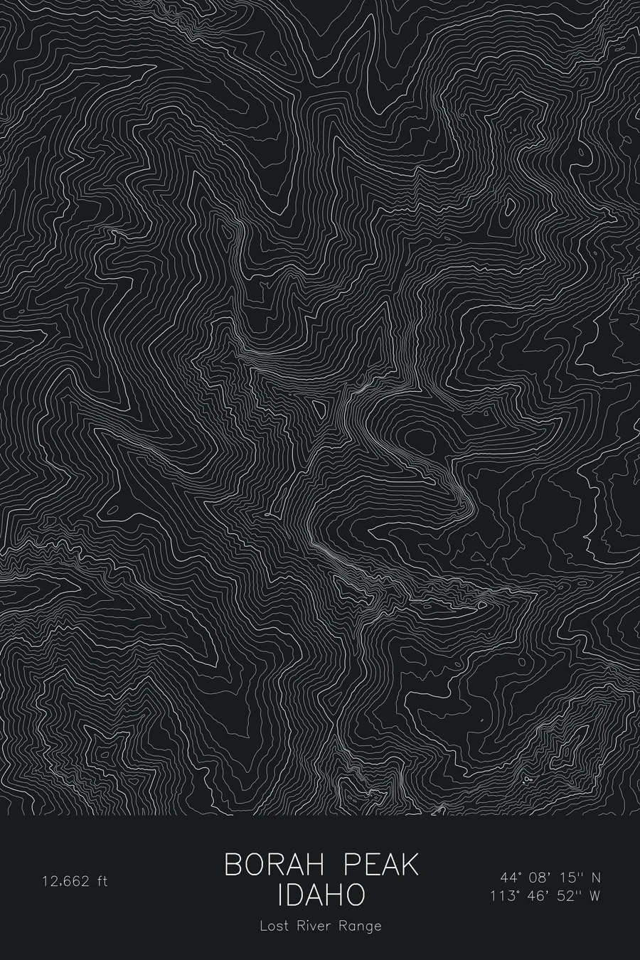
A pen-plotted topographic map of Borah Peak in the Lost River Range, Idaho, drawn from real elevation contour data.
Highest peak in Idaho. 12,662 feet above sea level.
$54
Ink & paper: Blue
Size: 12×18"
+Personalize this map
+ Details
- 12 × 18 inches
- Drawn on 98 lb (160 gsm) archival cotton paper
- Precision technical pens and archival inks
- Signed and dated on the back
- Ships flat, protected, ready to frame
Each map begins with elevation data and is drawn by a pen plotter in our Vermont studio. Mechanical precision, plus the texture and small imperfections of real ink on paper.
Off the screen
In real rooms


+ About this map
Borah Peak rises to 12,662 feet in the Lost River Range, the highest point in Idaho. It stands over the Big Lost River valley in a dry, open part of the state, and its 1983 earthquake, one of the largest in the lower forty-eight in the twentieth century, left a fault scarp along the base of the range that is still visible today. The standard climb follows the southwest ridge over the exposed section known as Chicken-Out Ridge.
This map traces a mountain with a broad, dry western apron and a much steeper eastern side. The contour lines fan out toward the valley on the west, then tighten sharply on the northeast face where the peak drops toward the high cirques. The summit ridgeline runs as a narrow crest through the densest bands. The elevation on this sheet runs from about 7,750 feet at the range front to the 12,662-foot summit, close to 5,000 feet of relief.
+ Map details
- Borah Peak
- Idaho
- United States
- Lost River Range
- Lost River Range
- 12,662 ft / 3,859 m
- 44.1374N 113.7811W
- Mountain topographic map
- Original pen plot, archival ink on cotton paper
- 8 × 12 in · 12 × 18 in · 18 × 24 in
- Highest peak in Idaho
More maps