Vermont
Bromley Mountain
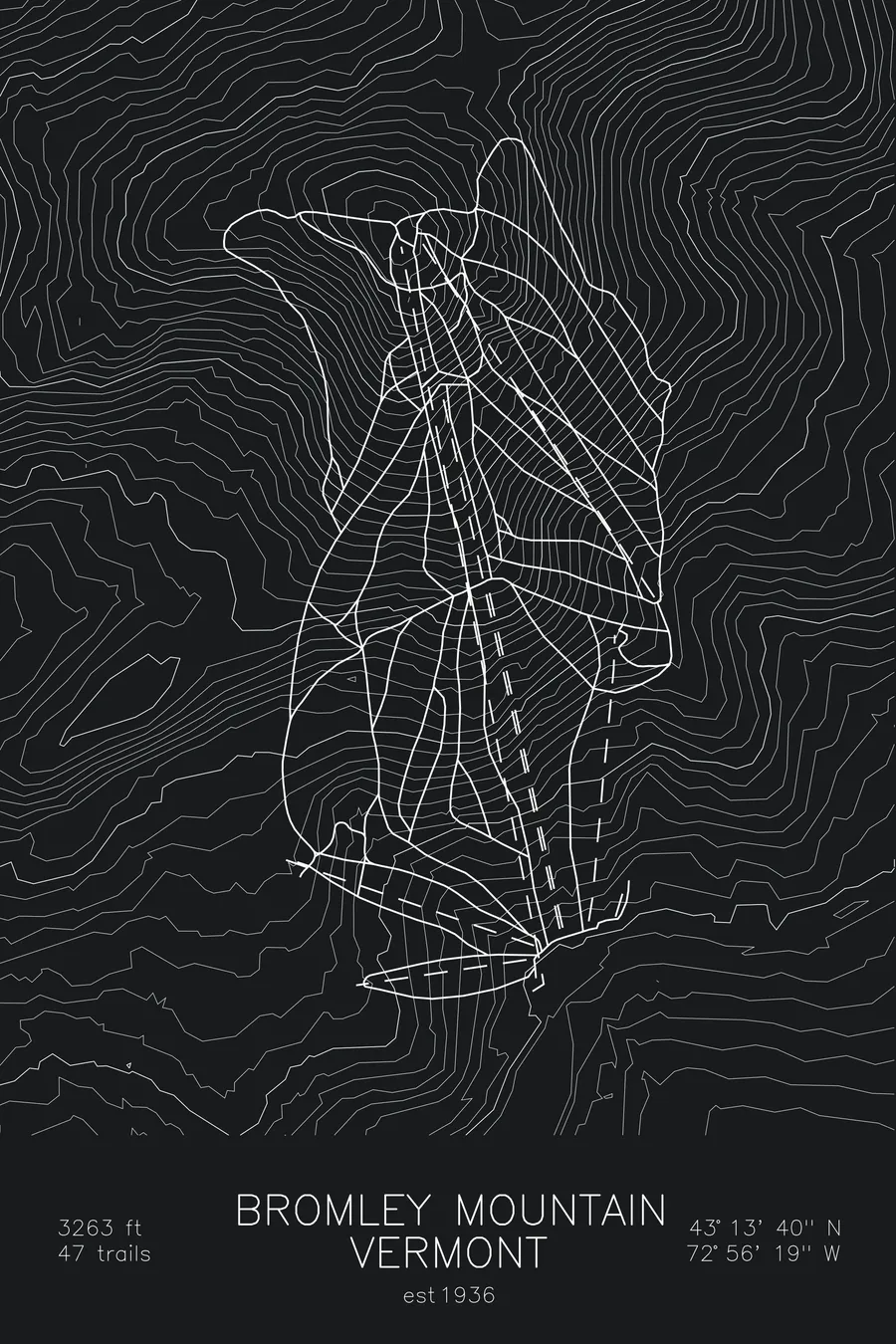
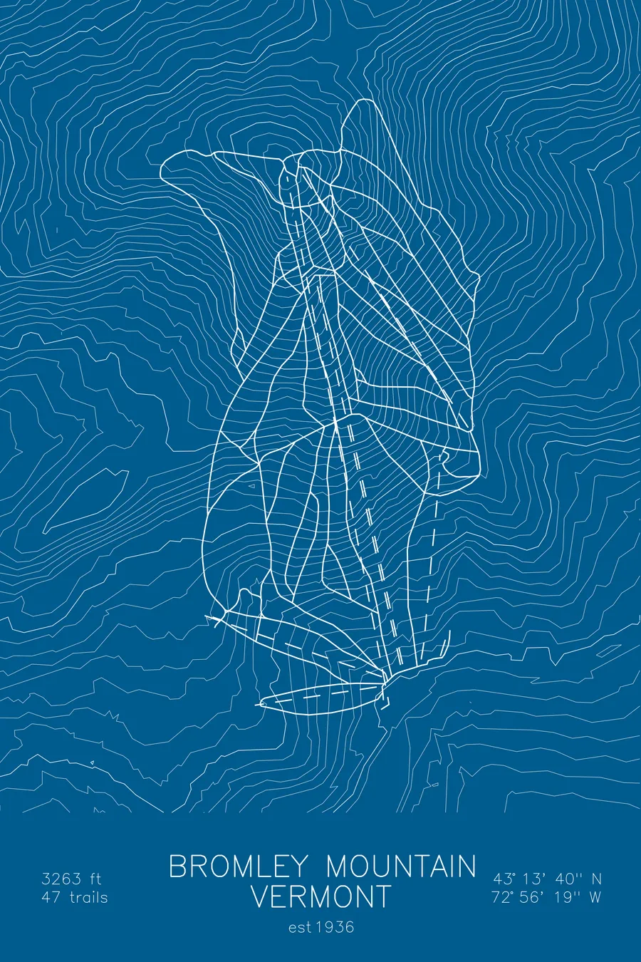
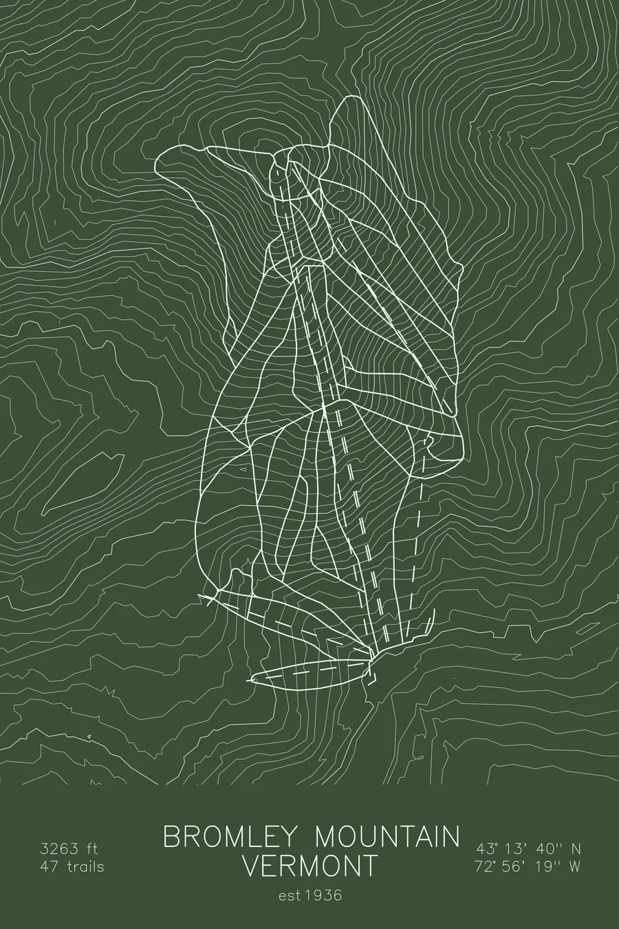
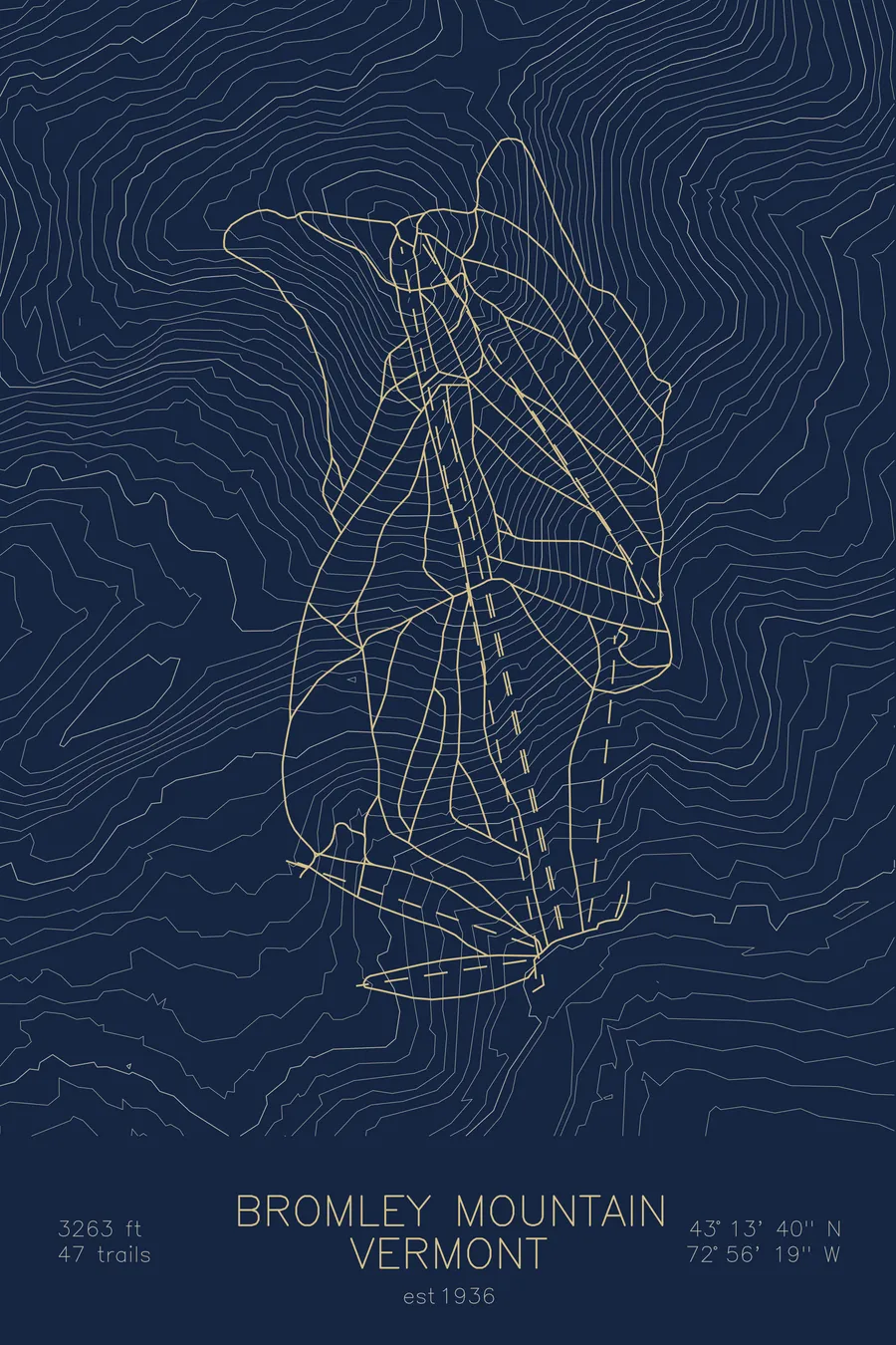
A topographic ski map of Bromley Mountain, Vermont, with the resort's runs and lifts drawn over real terrain in a minimalist contour-line design.
Built by a Pabst brewing heir, largely from lifts he pulled off his other ski hills.
$63
Ink & paper: Arctic White
Size: 12×18"
+Personalize this map
+ Details
- 12 × 18 inches
- Drawn on 98 lb (160 gsm) archival cotton paper
- Precision technical pens and archival inks
- Signed and dated on the back
- Ships flat, protected, ready to frame
Each map begins with elevation data and is drawn by a pen plotter in our Vermont studio. Mechanical precision, plus the texture and small imperfections of real ink on paper.
Off the screen
In real rooms


+ About this map
Bromley was assembled from the parts of as many as 17 other ski areas. Its founder, Fred Pabst Jr., grandson of the Pabst Blue Ribbon brewing founder, had by the early 1940s built a portfolio of ski hills stretching from Wisconsin and Quebec to New Hampshire and Vermont, all under a company called Ski Tows Inc. When the United States entered World War II he consolidated in the most direct way available, pulling the J-bars and tows off his other hills and reinstalling them at Bromley, the southern Vermont mountain whose rare south-facing trails earned it the nickname Vermont’s Sun Mountain.
The mountain sits in the Green Mountains near Manchester, across the valley from Stratton, with the Long Trail and Appalachian Trail passing over its summit. From the top, skiers get a broad view across southern Vermont. The contour map captures Bromley’s rounded Green Mountain profile and the ridges and valleys that surround it.
+ Map details
- Bromley Mountain
- Vermont
- United States
- New England
- 3,263 ft / 995 m
- 43.2278N 72.9386W
- Ski resort trail map
- Original pen plot, archival ink on cotton paper
- 8 × 12 in · 12 × 18 in · 18 × 24 in
- Est. 1936. 47 trails
More maps