
Maine
Cadillac Mountain
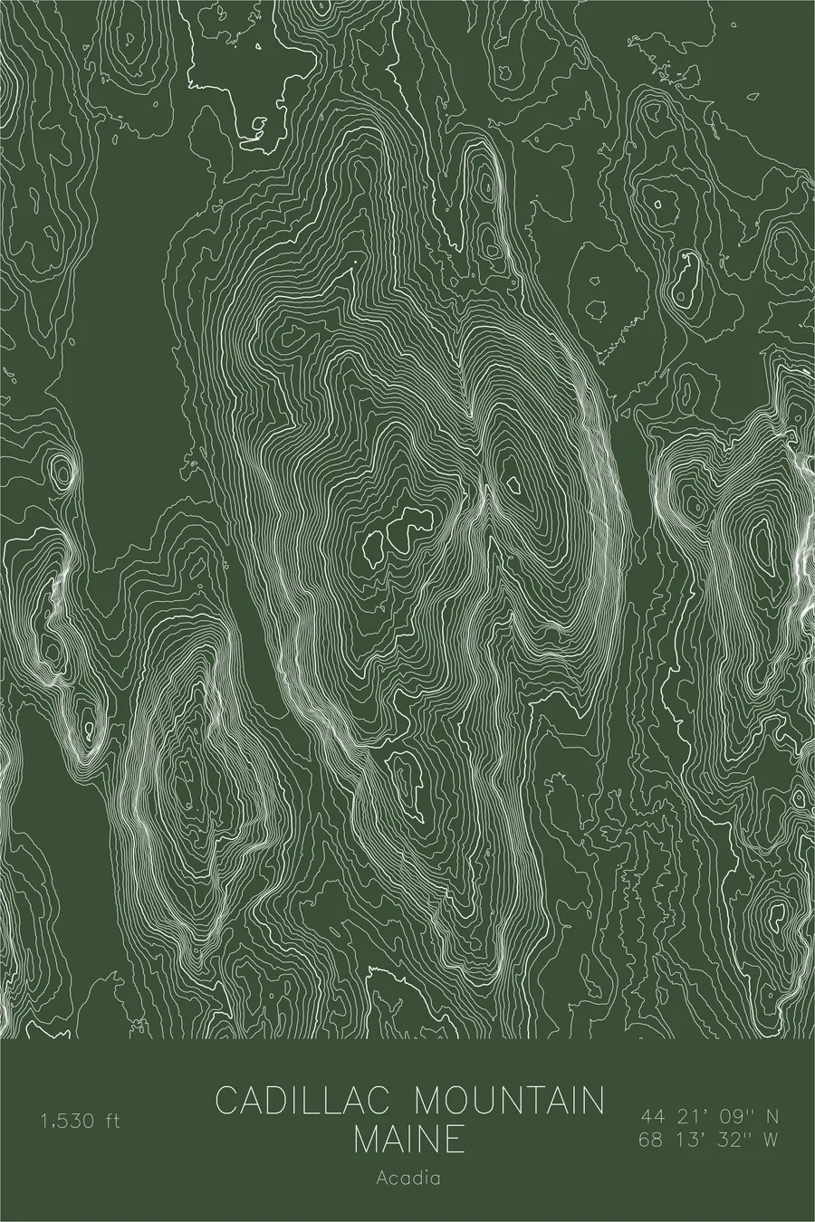
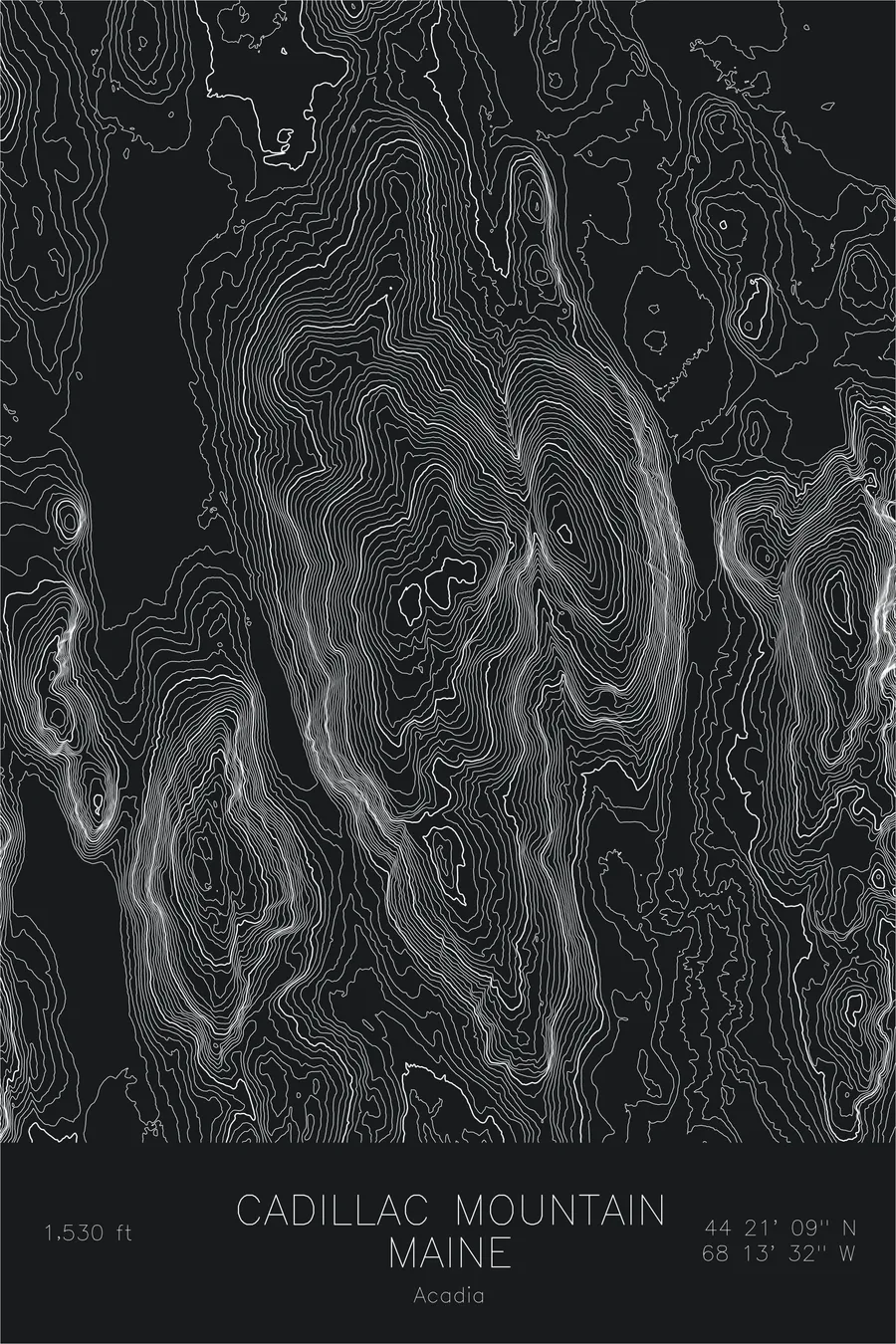
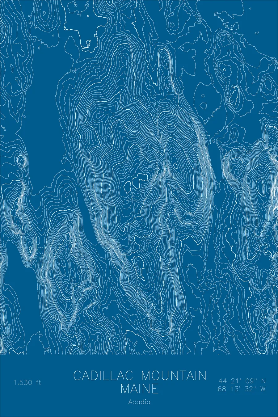
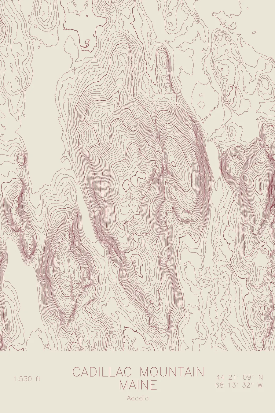
A pen-plotted topographic map of Cadillac Mountain in the Acadia, Maine, drawn from real elevation contour data.
First sunrise in the United States, October 7 through March 6 only.
$54
Ink & paper: Navy
Size: 12×18"
+Personalize this map
+ Details
- 12 × 18 inches
- Drawn on 98 lb (160 gsm) archival cotton paper
- Precision technical pens and archival inks
- Signed and dated on the back
- Ships flat, protected, ready to frame
Each map begins with elevation data and is drawn by a pen plotter in our Vermont studio. Mechanical precision, plus the texture and small imperfections of real ink on paper.
Off the screen
In real rooms


+ About this map
Cadillac Mountain is the first place in the United States to catch the sunrise, a claim that is true from October 7 through March 6 and quietly false the rest of the year, when Mars Hill or West Quoddy Head gets there first. The mountain rises 1,530 feet on Mount Desert Island in Acadia National Park, the highest point on the US Atlantic coast, a dome of pink granite that from 1883 to 1890 had its own steam cog railway. When the line folded, its two locomotives were sold in 1895 to the Mount Washington Cog Railway, and stray iron spikes on the western face still mark the route.
This map shows a landscape defined by glaciers and ocean. The contour lines trace the long north-south ridges the ice carved across Mount Desert Island, with Dorr Mountain rising just to the east across a deep notch. The gentle, evenly spaced lines of the summit dome give way to the coastline itself, where the contours simply end at the water of Frenchman Bay.
+ Map details
- Cadillac Mountain
- Maine
- United States
- Acadia
- New England
- 1,530 ft / 466 m
- 44.3525N 68.2256W
- Mountain topographic map
- Original pen plot, archival ink on cotton paper
- 8 × 12 in · 12 × 18 in · 18 × 24 in
- Highest point on the US Atlantic coast, Acadia National Park
More maps