

New Hampshire
Cannon Mountain
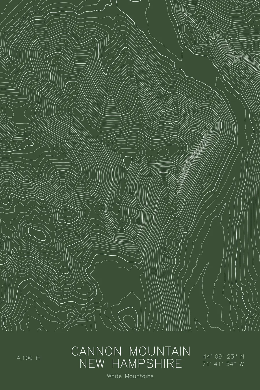
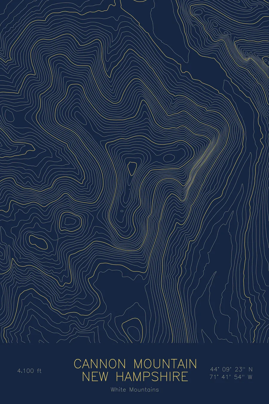
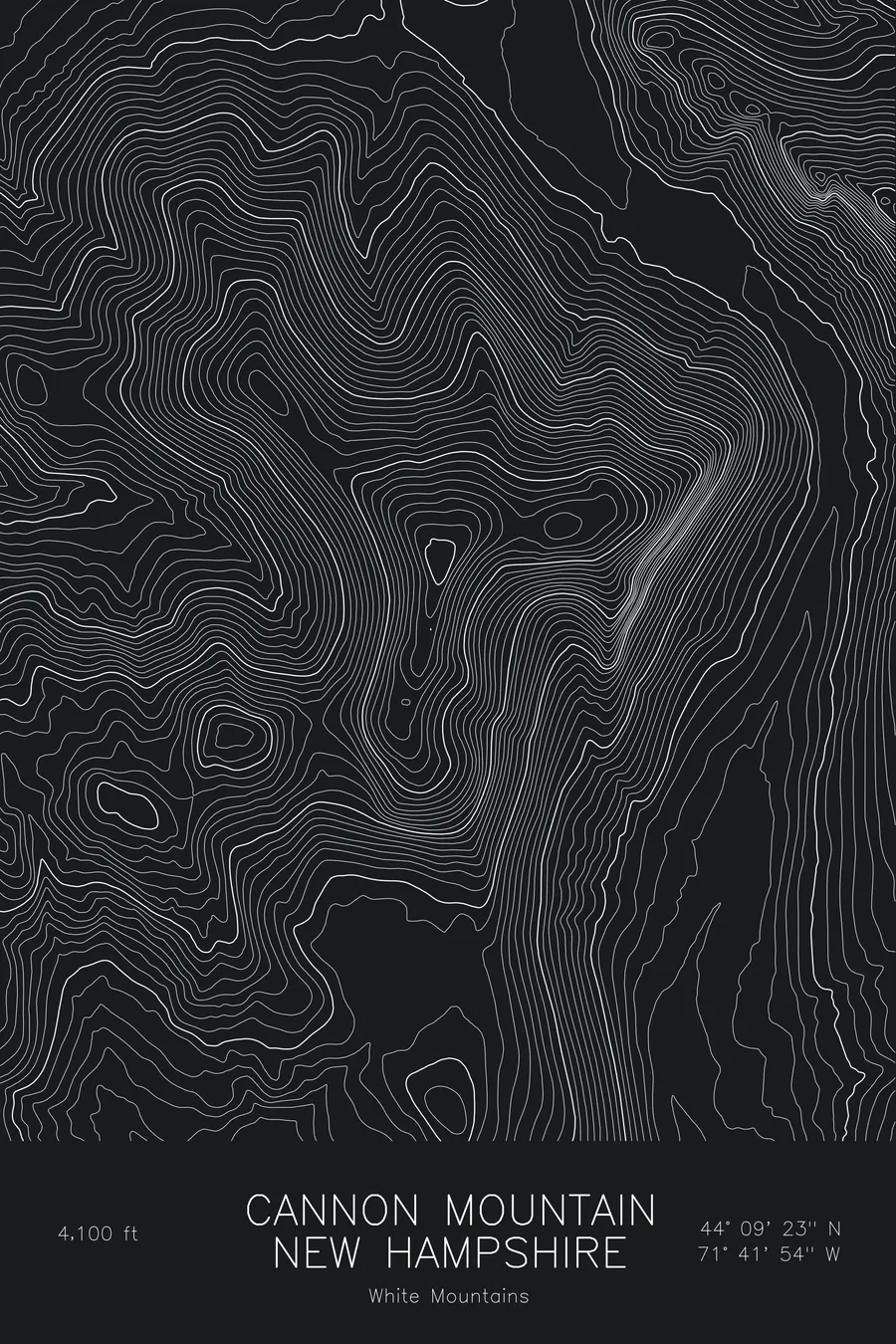
A pen-plotted topographic map of Cannon Mountain in the White Mountains, New Hampshire, drawn from real elevation contour data.
Franconia Notch summit, former home of the Old Man of the Mountain. 4,100 feet above sea level.
$54
Ink & paper: Blue
Size: 12×18"
+Personalize this map
+ Details
- 12 × 18 inches
- Drawn on 98 lb (160 gsm) archival cotton paper
- Precision technical pens and archival inks
- Signed and dated on the back
- Ships flat, protected, ready to frame
Each map begins with elevation data and is drawn by a pen plotter in our Vermont studio. Mechanical precision, plus the texture and small imperfections of real ink on paper.
Off the screen
In real rooms


+ About this map
Cannon Mountain rises to 4,100 feet on the west side of Franconia Notch in New Hampshire’s White Mountains. For generations its east face held the Old Man of the Mountain, the granite profile that became the state’s emblem until it collapsed in 2003, and the same face carries Cannon Cliff, one of the largest cliffs in the eastern United States. An aerial tramway runs to the summit, and the ski area covers the northern slopes.
This map is built around the notch. The contour lines stack into a dense wall on the east side of the mountain where the cliff falls toward Profile Lake and the highway on the notch floor, while the western and northern slopes descend more gradually. Franconia Notch itself appears as the broad gap along the edge of the sheet. The elevation on this map runs from about 1,600 feet in the notch to the 4,100-foot summit, and most of that rise happens in a very short horizontal distance.
+ Map details
- Cannon Mountain
- New Hampshire
- United States
- White Mountains
- White Mountains
- 4,100 ft / 1,250 m
- 44.1565N 71.6984W
- Mountain topographic map
- Original pen plot, archival ink on cotton paper
- 8 × 12 in · 12 × 18 in · 18 × 24 in
- Franconia Notch summit, former home of the Old Man of the Mountain
More maps