New Hampshire
Cannon Mountain
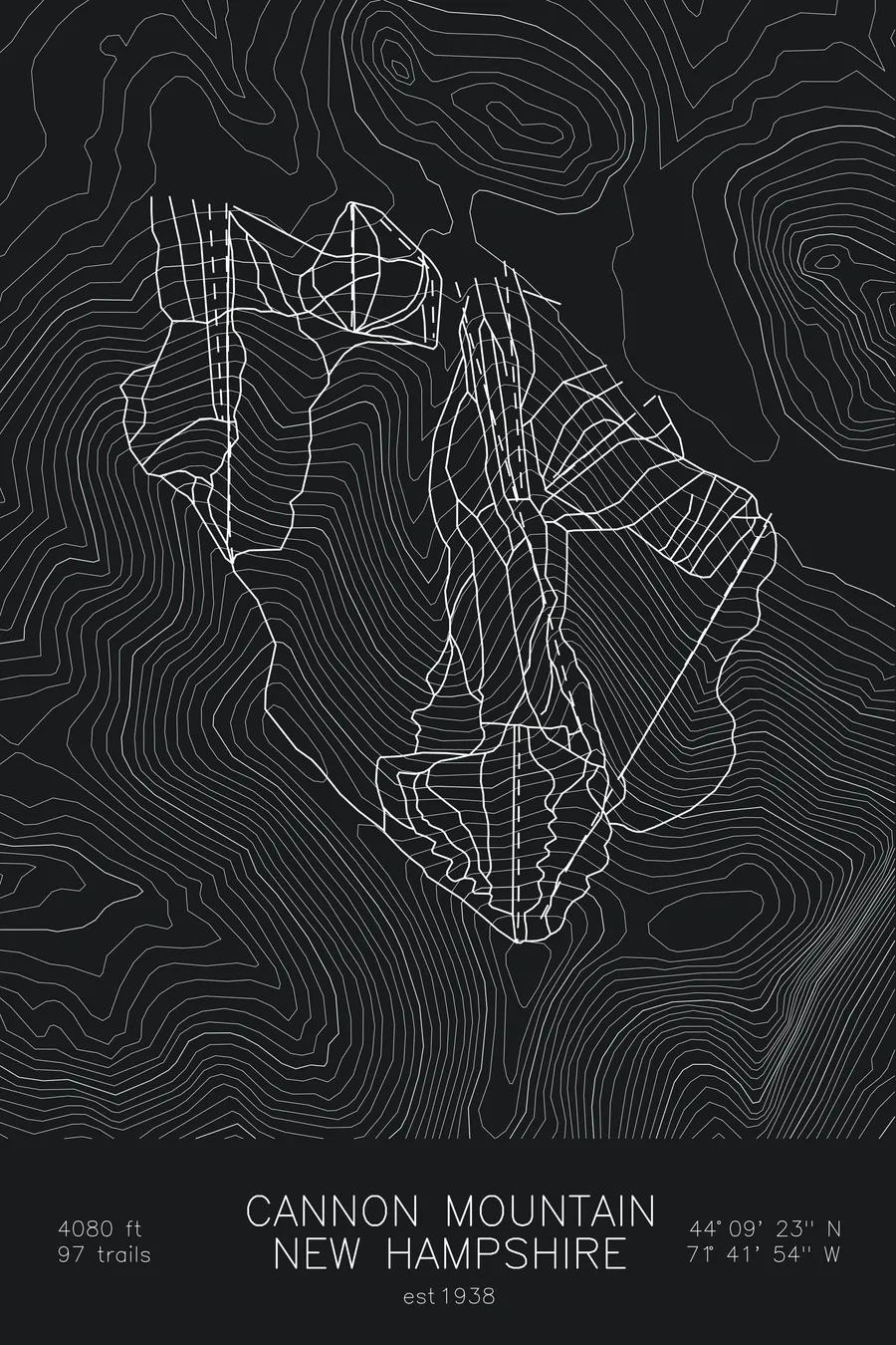
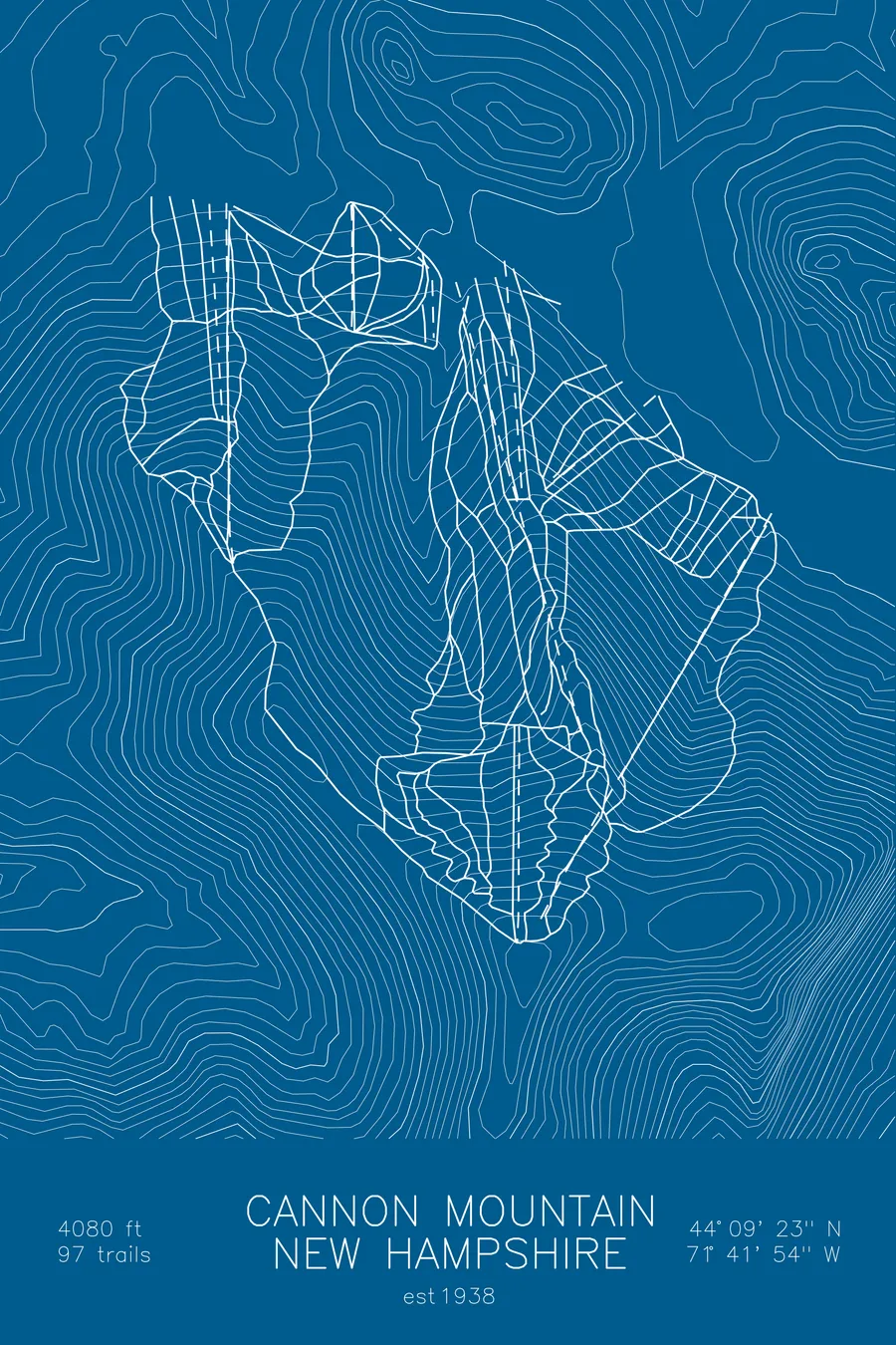
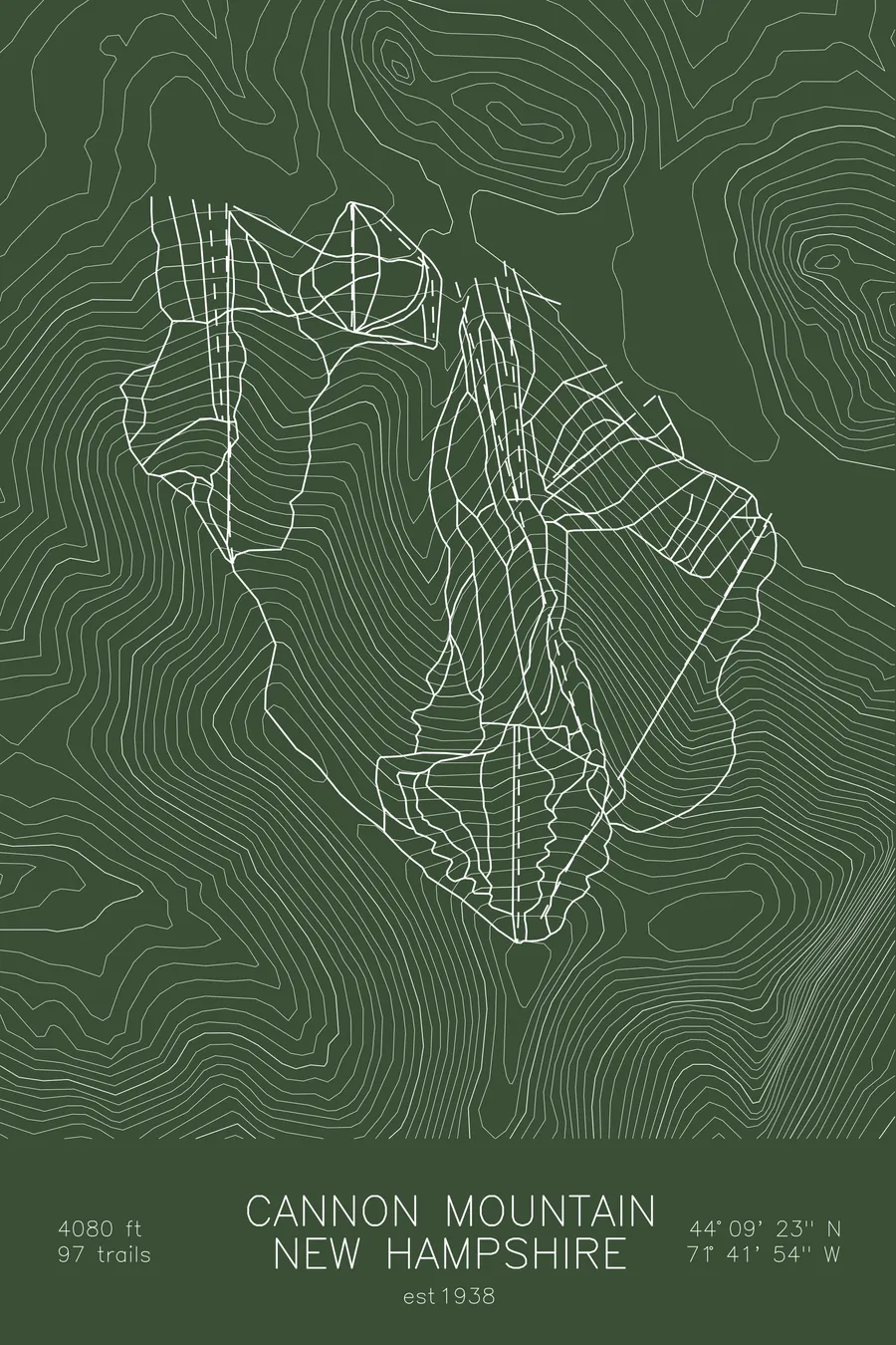
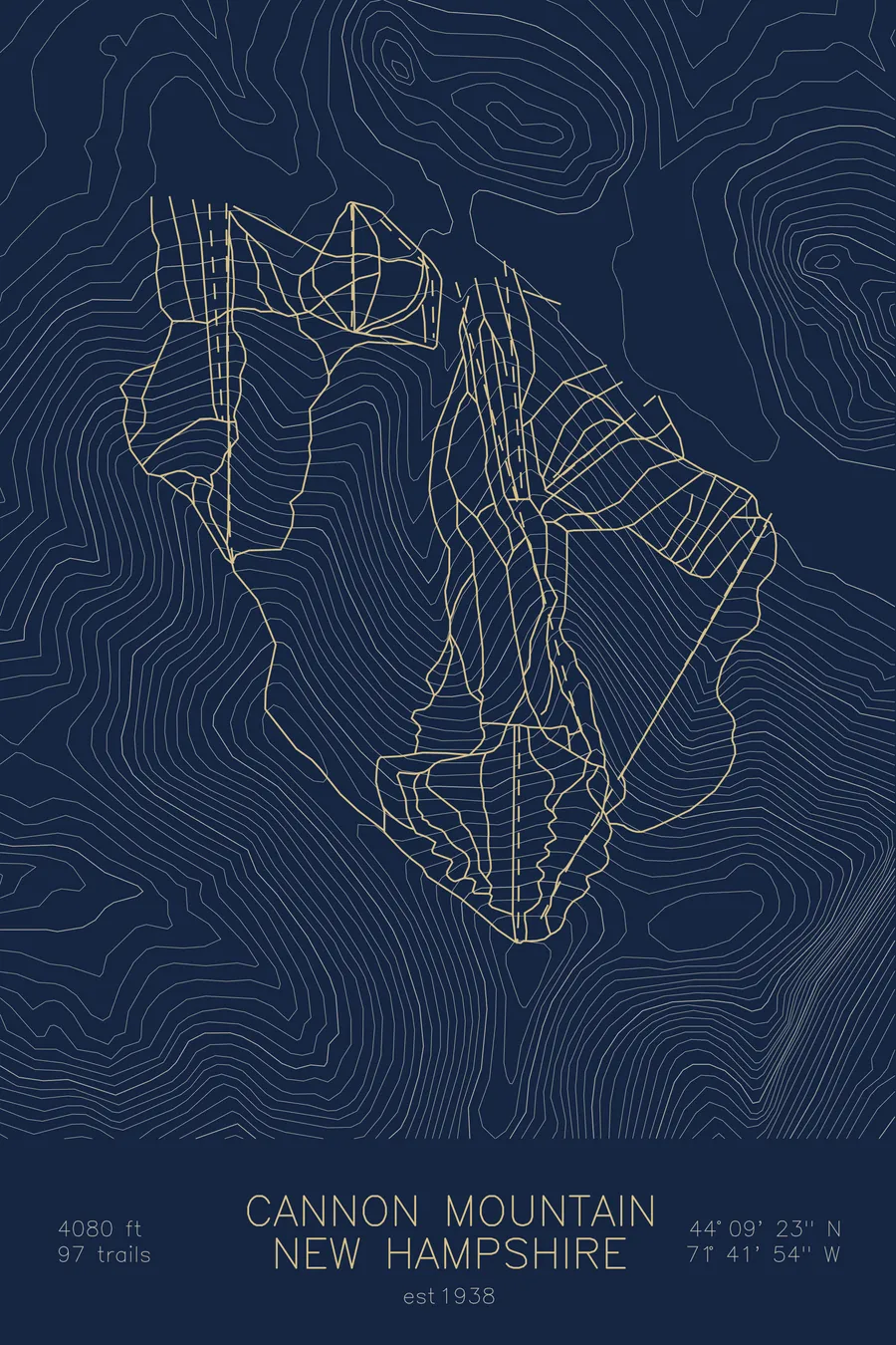
A topographic ski map of Cannon Mountain, New Hampshire, with the resort's runs and lifts drawn over real terrain in a minimalist contour-line design.
Its original tram carried exactly 6,581,338 passengers before retiring in 1980. Somebody counted.
$63
Ink & paper: Arctic White
Size: 12×18"
+Personalize this map
+ Details
- 12 × 18 inches
- Drawn on 98 lb (160 gsm) archival cotton paper
- Precision technical pens and archival inks
- Signed and dated on the back
- Ships flat, protected, ready to frame
Each map begins with elevation data and is drawn by a pen plotter in our Vermont studio. Mechanical precision, plus the texture and small imperfections of real ink on paper.
Off the screen
In real rooms


+ About this map
Somebody at Cannon kept count, and by the time the original aerial tramway was retired in 1980 the total stood at exactly 6,581,338 passengers. It was the first passenger aerial tramway in North America when it opened on June 28, 1938, after two weather delays, and more than 100,000 people rode it that first summer. Its replacement’s red and yellow cars were promptly nicknamed Ketchup and Mustard, and Cannon is now the only mountain in North America planning a third-generation tram. The state-owned mountain beneath it, steep, icy, and exposed in Franconia Notch, remains one of the most challenging ski areas in the East.
+ Map details
- Cannon Mountain
- New Hampshire
- United States
- New England
- 4,080 ft / 1,244 m
- 44.1564N 71.6983W
- Ski resort trail map
- Original pen plot, archival ink on cotton paper
- 8 × 12 in · 12 × 18 in · 18 × 24 in
- Est. 1938. 97 trails
More maps