Tennessee
Clingmans Dome
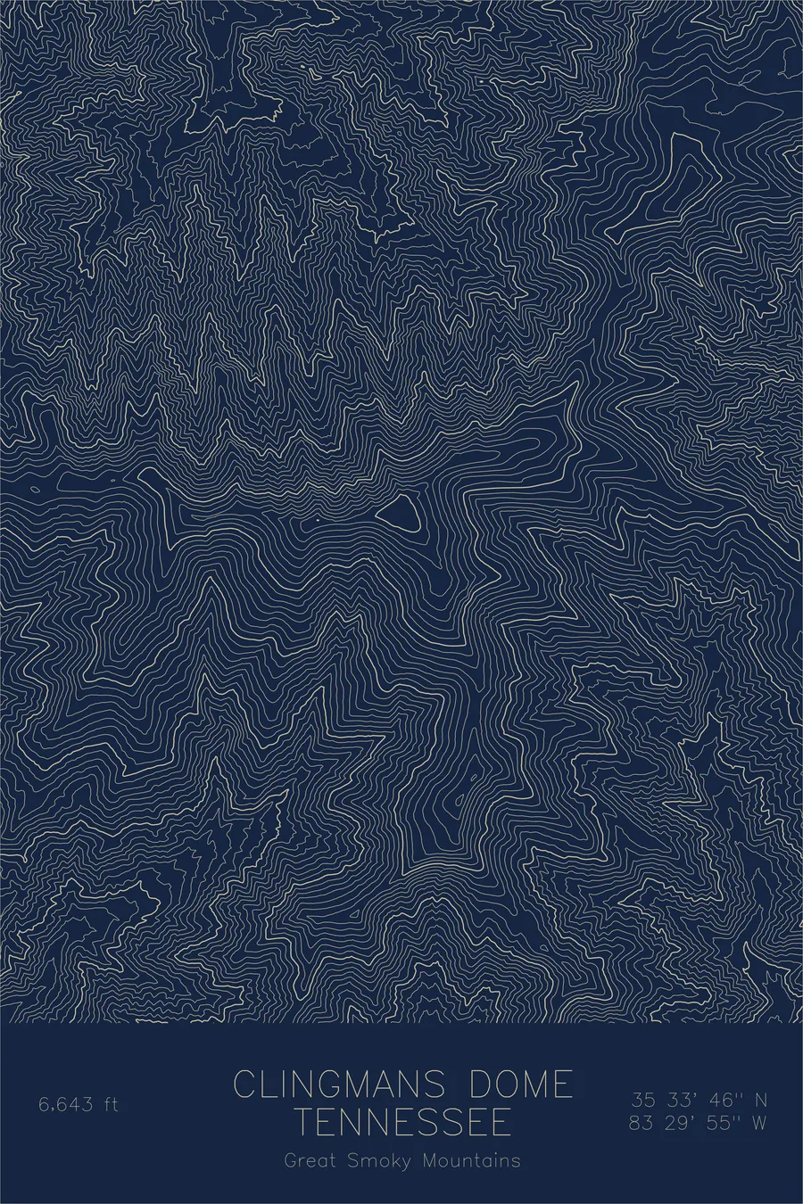
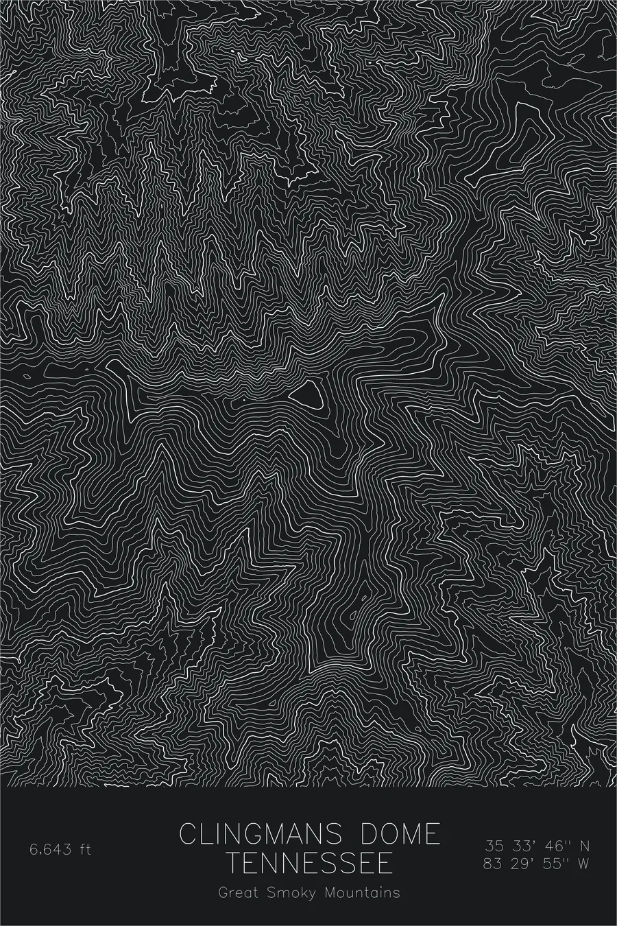
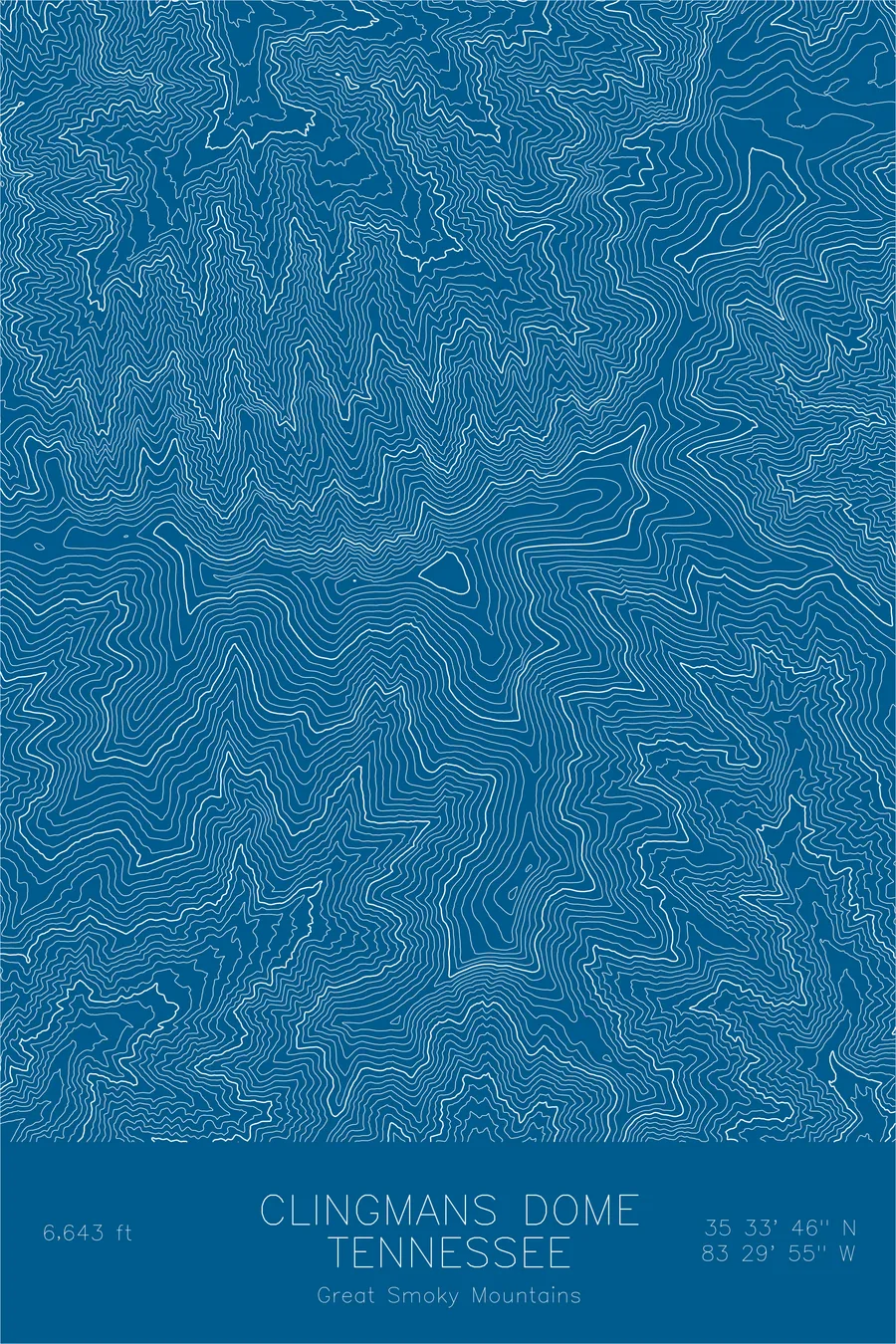
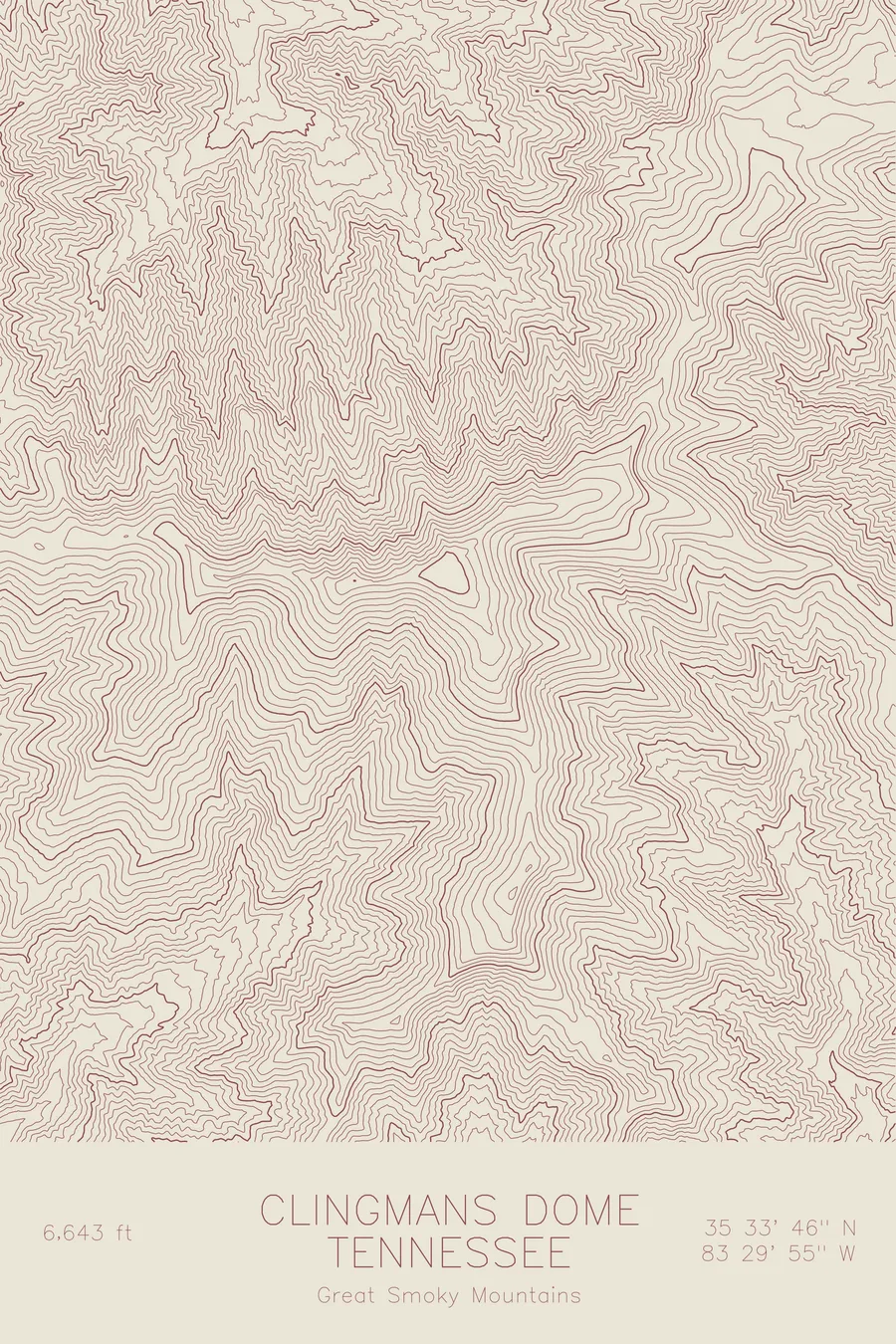
A pen-plotted topographic map of Clingmans Dome in the Great Smoky Mountains, Tennessee, drawn from real elevation contour data.
Named for the loser of an 1850s elevation feud; renamed Kuwohi in 2024.
$54
Ink & paper: Green
Size: 12×18"
+Personalize this map
+ Details
- 12 × 18 inches
- Drawn on 98 lb (160 gsm) archival cotton paper
- Precision technical pens and archival inks
- Signed and dated on the back
- Ships flat, protected, ready to frame
Each map begins with elevation data and is drawn by a pen plotter in our Vermont studio. Mechanical precision, plus the texture and small imperfections of real ink on paper.
Off the screen
In real rooms


+ About this map
Clingmans Dome is named for Thomas Clingman, a U.S. congressman who spent the 1850s publicly feuding with his old professor Elisha Mitchell over whose favored Appalachian summit was taller. Mitchell returned to the Black Mountains in 1857 to re-check his measurements and died falling from a 60-foot waterfall; his peak won the argument by 39 feet, and in 1859 the geographer Arnold Guyot named the consolation prize Clingmans Dome. The consolation lasted 165 years: in September 2024 the U.S. Board on Geographic Names restored the mountain’s Cherokee name, Kuwohi, meaning mulberry place. At 6,643 feet it remains the highest point in Tennessee and anywhere along the Appalachian Trail.
This map shows the character of ancient mountains. Instead of sharp arêtes and glacial cirques, the contour lines flow in long, rounded ribbons along the state-line ridge, rising and falling through the neighboring high points of Mount Buckley and Mount Love. The even spacing of the lines records deep soil and unbroken forest, terrain shaped by water and time rather than ice.
+ Map details
- Clingmans Dome
- Tennessee
- United States
- Great Smoky Mountains
- Appalachian Mountains
- 6,643 ft / 2,025 m
- 35.5629N 83.4985W
- Mountain topographic map
- Original pen plot, archival ink on cotton paper
- 8 × 12 in · 12 × 18 in · 18 × 24 in
- Highest point in Tennessee, highest in the Great Smokies, AT highpoint
More maps