

Oregon
Crater Lake National Park
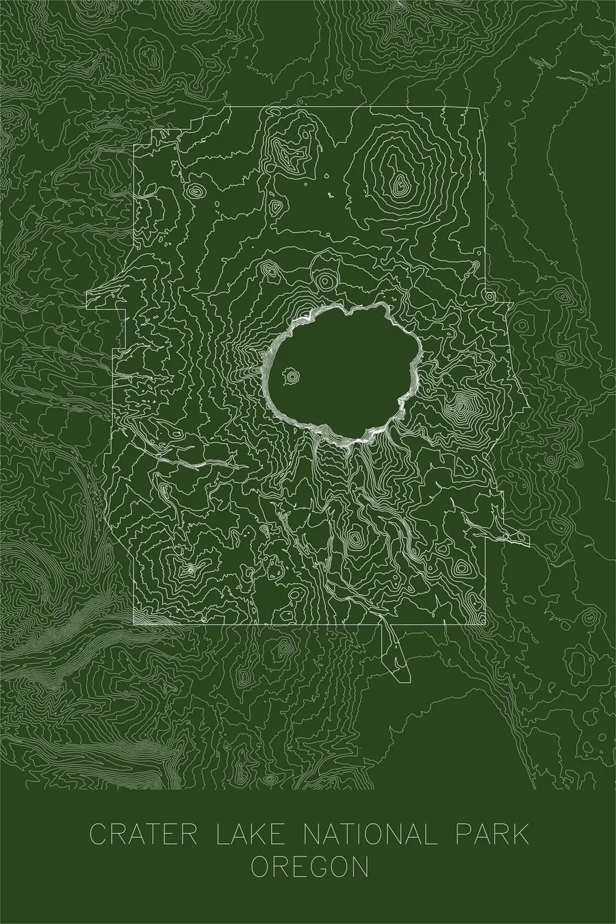
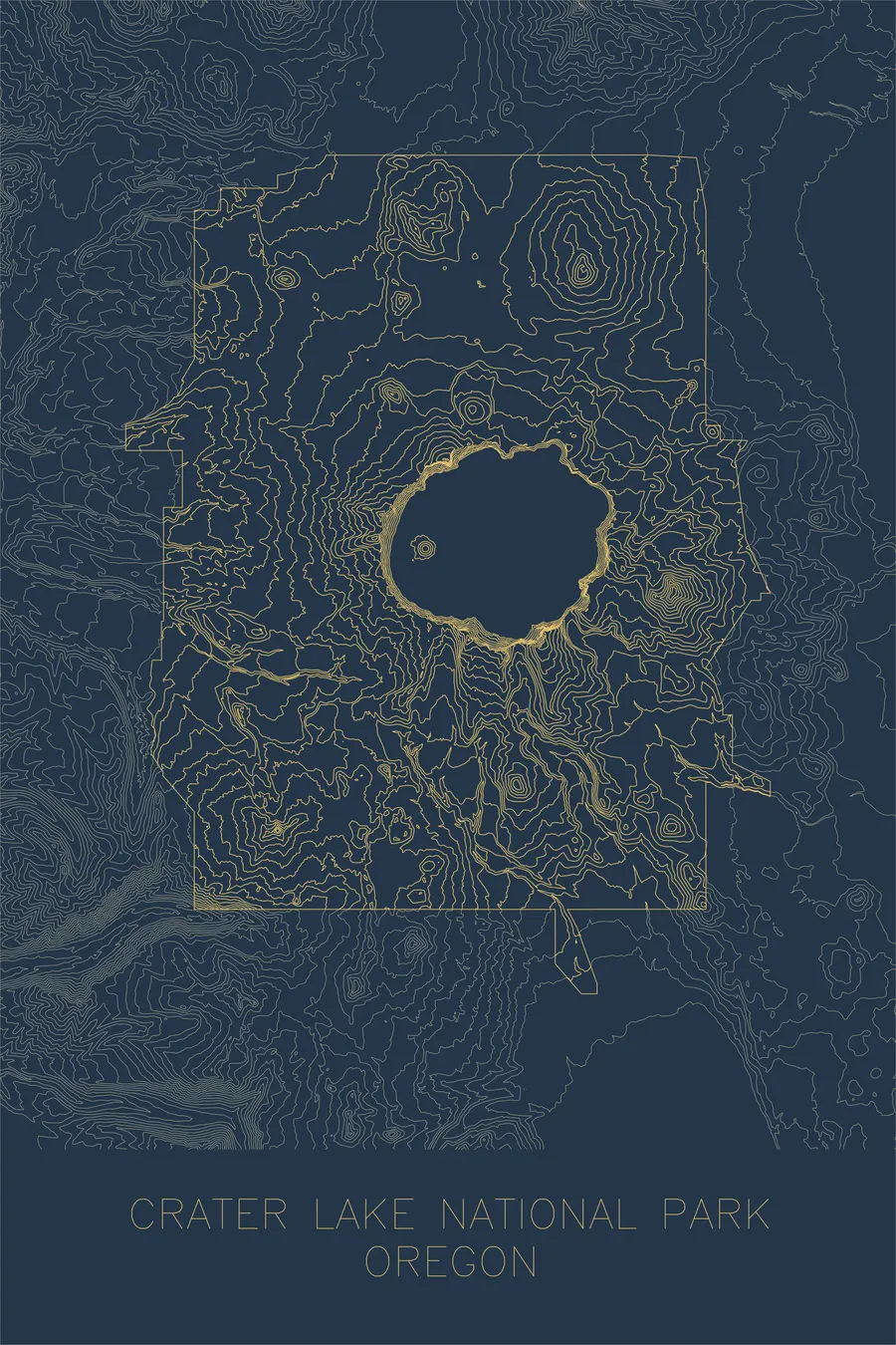
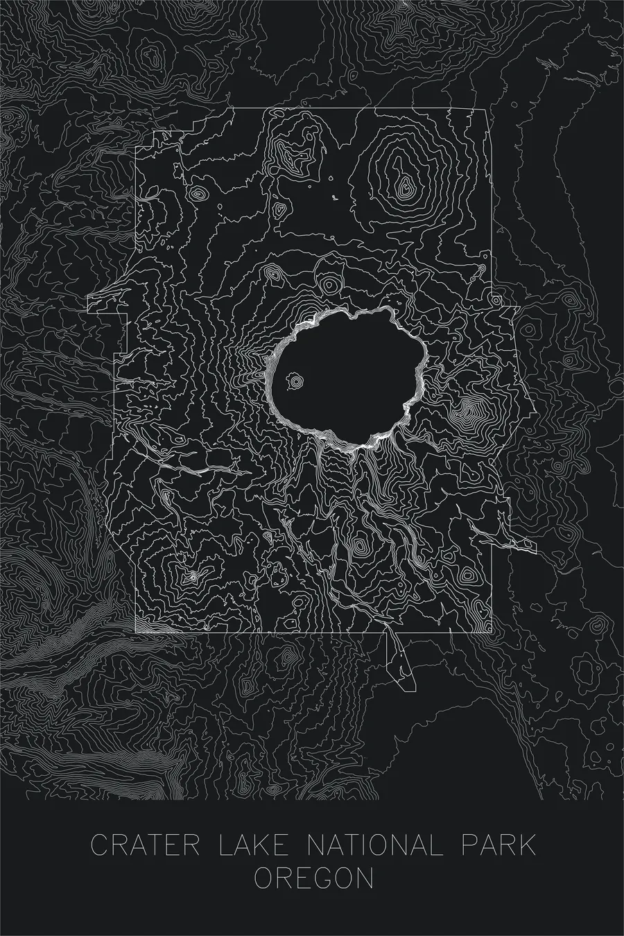
A pen-plotted topographic map of Crater Lake National Park, Oregon, drawn from real elevation contour data.
William Gladstone Steel campaigned 17 years for this park after reading about the lake in his lunch wrapper.
$54
Ink & paper: Blue
+Personalize this map
+ Details
- 12 × 18 inches
- Drawn on 98 lb (160 gsm) archival cotton paper
- Precision technical pens and archival inks
- Signed and dated on the back
- Ships flat, protected, ready to frame
Each map begins with elevation data and is drawn by a pen plotter in our Vermont studio. Mechanical precision, plus the texture and small imperfections of real ink on paper.
Off the screen
In real rooms


+ About this map
Crater Lake owes its existence as a national park to a lunch wrapper. In May 1870 a Kansas schoolboy named William Gladstone Steel read about the lake in the newspaper his lunch was wrapped in, and he spent the next 17 years campaigning until Congress made it a park on May 22, 1902. Steel also noticed that the deepest lake in the United States, 1,943 feet, contained no fish at all, and decided to correct this: in late August 1888 he and two companions hauled 600 fingerling rainbow trout 41 miles from a ranch and planted the 37 that survived the trip. Trout were finally confirmed living in the lake in 1901, thirteen years later.
This map captures the dramatic geometry of the caldera: the tight, concentric contour lines of the inner walls plunging toward the lake surface, and the more gradual slopes radiating outward across the flanks of the old volcano. Wizard Island, a cinder cone that rose from the caldera floor after the collapse, appears as a small cluster of rings within the lake. The map is a record of catastrophic geology: the ghost of a mountain turned inside out.
+ Map details
- Crater Lake National Park
- Oregon
- United States
- Cascades
- Pacific Northwest
- 8,929 ft / 2,721 m
- 42.8684N 122.1685W
- National park topographic map
- Original pen plot, archival ink on cotton paper
- 12 × 18 in
- The deepest lake in the United States, formed in the caldera of collapsed Mount Mazama
More maps