

Colorado
Crestone Needle
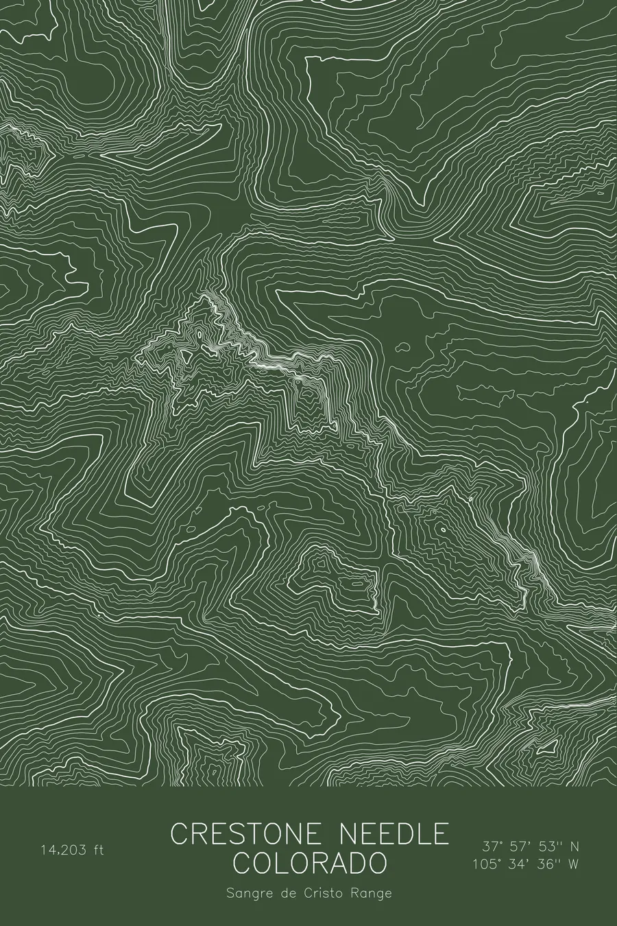
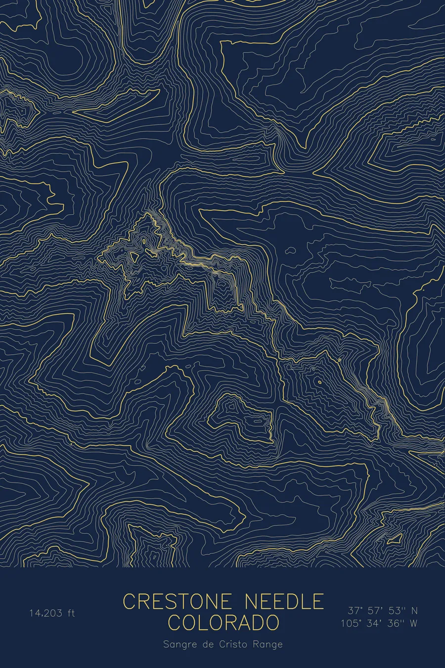
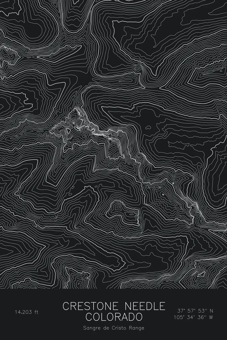
A pen-plotted topographic map of Crestone Needle in the Sangre de Cristo Range, Colorado, drawn from real elevation contour data.
Colorado's classic technical 14er, a knife-edged conglomerate spire. 14,203 feet above sea level.
$54
Ink & paper: Blue
Size: 12×18"
+Personalize this map
+ Details
- 12 × 18 inches
- Drawn on 98 lb (160 gsm) archival cotton paper
- Precision technical pens and archival inks
- Signed and dated on the back
- Ships flat, protected, ready to frame
Each map begins with elevation data and is drawn by a pen plotter in our Vermont studio. Mechanical precision, plus the texture and small imperfections of real ink on paper.
Off the screen
In real rooms


+ About this map
Crestone Needle rises to 14,203 feet in Colorado’s Sangre de Cristo Range, a sharp spire of Crestone conglomerate that stands as the classic technical fourteener in the state. Its knobby rock gives unusually solid climbing, and the Ellingwood Arete on the northeast face is one of the best-known alpine rock routes in Colorado. The South Colony Lakes sit in the cirque below.
This map shows why the Needle earns its name. The contour lines pinch into a narrow, almost vertical stack at the summit, with steep faces on every side and only a thin ridgeline connecting west to Crestone Peak, the highest point on the sheet. The lake basin to the east appears as a broad, open hollow scooped from the mountain’s base. Elevation on this map runs from roughly 10,250 feet to just over 14,300 feet, and the tightest bands are all at the top.
+ Map details
- Crestone Needle
- Colorado
- United States
- Sangre de Cristo Range
- Sangre de Cristo Range
- 14,203 ft / 4,329 m
- 37.9647N 105.5766W
- Mountain topographic map
- Original pen plot, archival ink on cotton paper
- 8 × 12 in · 12 × 18 in · 18 × 24 in
- Colorado's classic technical 14er, a knife-edged conglomerate spire
More maps


