
Washington
Crystal Mountain
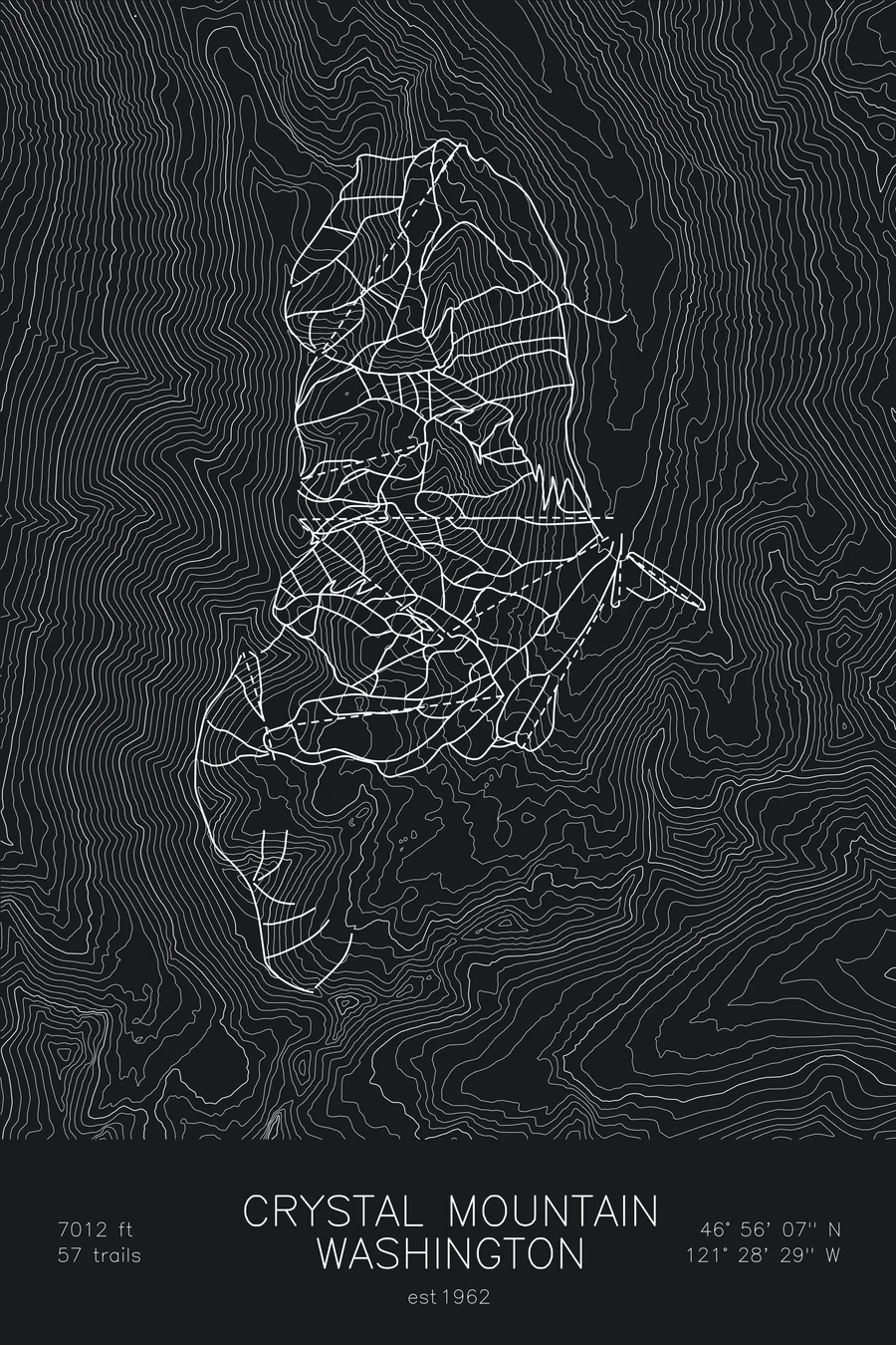
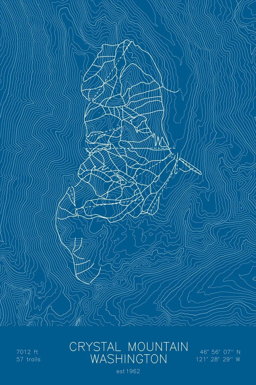
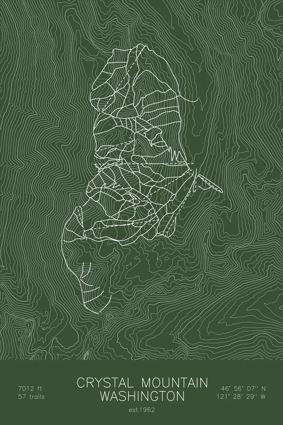
A topographic ski map of Crystal Mountain, Washington, with the resort's runs and lifts drawn over real terrain in a minimalist contour-line design.
Est. 1962. 57 trails. 7,012 feet above sea level.
$63
Ink & paper: Arctic White
Size: 12×18"
+Personalize this map
+ Details
- 12 × 18 inches
- Drawn on 98 lb (160 gsm) archival cotton paper
- Precision technical pens and archival inks
- Signed and dated on the back
- Ships flat, protected, ready to frame
Each map begins with elevation data and is drawn by a pen plotter in our Vermont studio. Mechanical precision, plus the texture and small imperfections of real ink on paper.
Off the screen
In real rooms


+ About this map
Crystal Mountain is Washington’s largest ski area, opened in 1962 in the Cascades just northeast of Mount Rainier. From the 7,012-foot summit, the view looks straight across at Rainier’s glaciated bulk, close enough to feel like part of the resort.
Its 57 trails cover a lot of ground: long groomers under the gondola, steep faces off the top, and the lift-accessed backcountry-style bowls and chutes of Southback and Northway. Heavy maritime snow keeps the terrain filled in through long Cascade winters. The contour lines on this map trace the ridges and drainages that give Crystal its shape.
+ Map details
- Crystal Mountain
- Washington
- United States
- Pacific Northwest
- 7,012 ft / 2,137 m
- 46.9353N 121.4747W
- Ski resort trail map
- Original pen plot, archival ink on cotton paper
- 8 × 12 in · 12 × 18 in · 18 × 24 in
- Est. 1962. 57 trails
More maps