
Any hike or ride
Custom route map
Your route, drawn in ink over the real terrain it crosses.
$70
Ink & paper: Black
Size: 12×18"
Please tell me which place to map first.
+ Details
- 12 × 18 inches
- Drawn on 98 lb (160 gsm) archival cotton paper
- Precision technical pens and archival inks
- Signed and dated on the back
- Ships flat, protected, ready to frame
Your map is built from real elevation data for the place you name, laid out in the same house style as the rest of the shop, and sent to you as a digital proof first. Once you approve it, a pen plotter draws it in our Vermont studio: mechanical precision, plus the texture and small imperfections of real ink on paper.
Off the screen
In real rooms


+ About this map
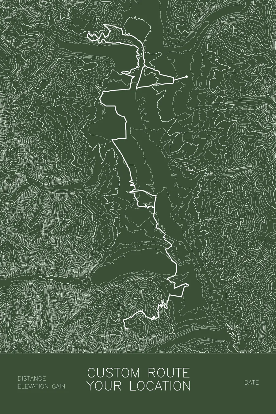
Tell me your route, anywhere in the world, and I’ll draw it in ink over real terrain as an original pen-plotted map. A hike or thru-hike, a trail run, a gravel or road ride, a race course you finished: if it has a line on a map, it can be plotted. A pen plotter draws every contour line and your route individually with pigment ink on heavy archival paper; no two plots are identical.
How it works. Choose a size and colorway, then tell me your route in the box above. A route name and region is all I need, or paste an AllTrails, Strava, Garmin, or RideWithGPS link, or send a GPX file. Tell me your label text: route name and location, a date, distance and elevation, a finishing time, names, whatever the map should include. Within 2 business days you’ll get a digital mockup of your map, with as many revisions as needed to get it right. Once you approve it, your map is plotted, signed, and shipped within 3 to 5 business days.
What you’ll receive. An original pen-plotted map of your route in your chosen size on archival, acid-free paper (50% cotton), drawn with pigment ink that is archival and fade resistant. Signed on the back, unframed. 8 x 12 and 12 x 18 ship flat; 18 x 24 ships safely rolled.
Perfect for thru-hikes and section hikes (the AT, PCT, Long Trail, Camino de Santiago, and every trail between); century rides, gravel races, and the course you trained all year for; the proposal spot, the first-date hike, an anniversary trail; summit days, rim-to-rim crossings, and multi-day backpacking routes; remembering a favorite hiking partner, human or otherwise; and anyone who wants their miles on the wall.
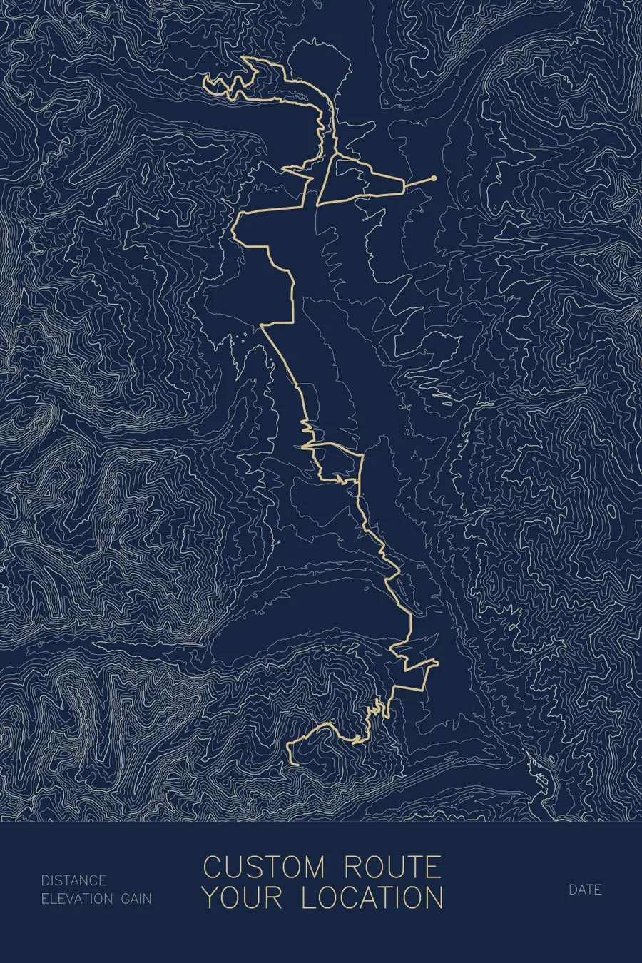
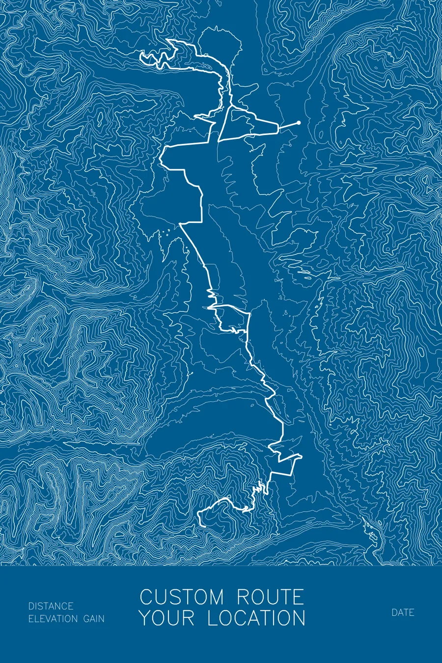
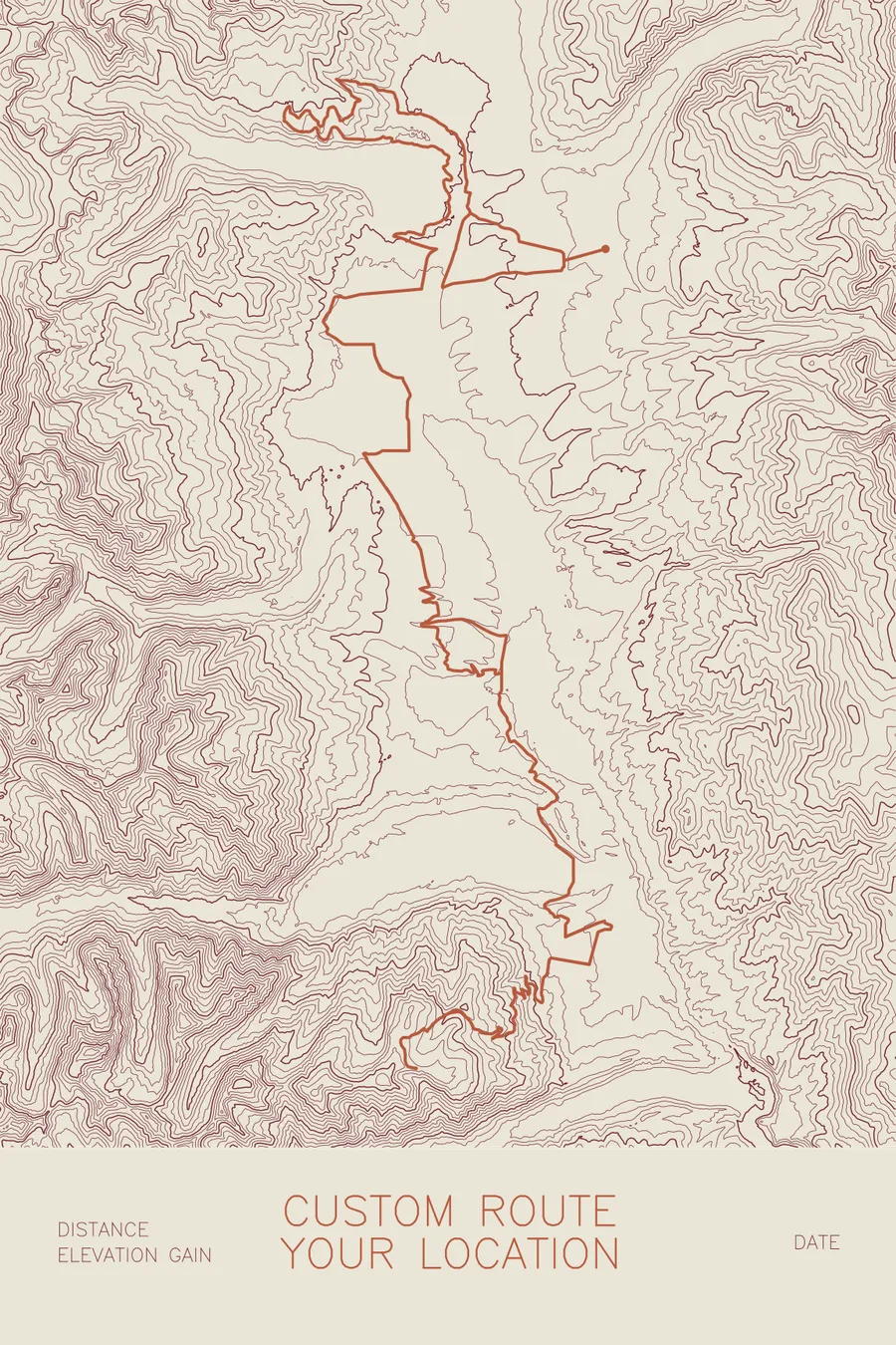
The example images show the layout (the route is the Leadville Trail 100 course in Colorado); your map is built for your route. Mountain bikers mapping a whole trail system rather than one ride: there is a dedicated custom MTB trail network map with trail-network styling.