

Switzerland
Dom
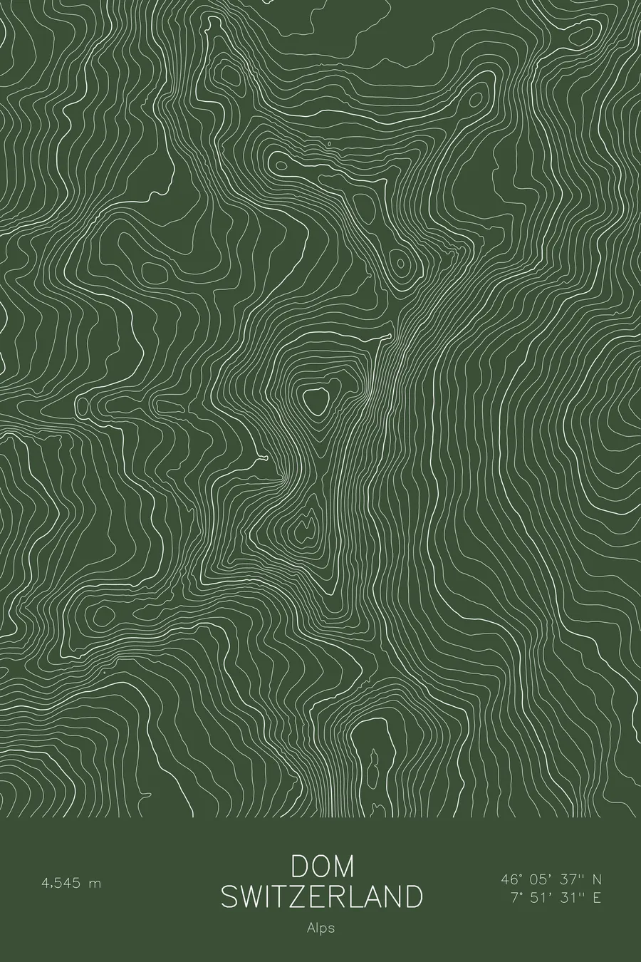
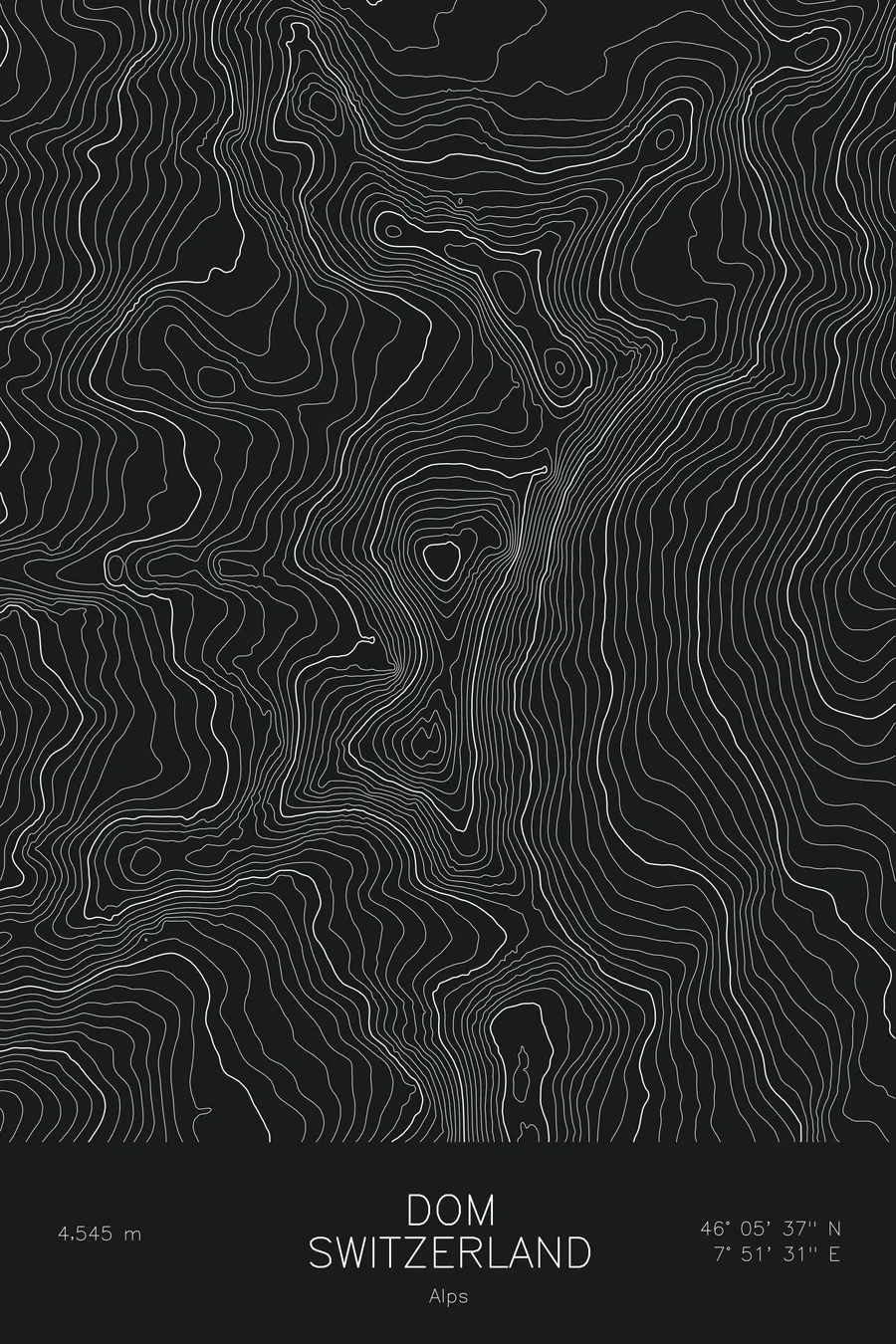
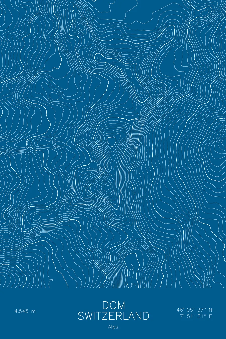
A pen-plotted topographic map of Dom in the Alps, Switzerland, drawn from real elevation contour data.
From the village of Randa the mountain rises nearly 10,000 feet in a single sweep.
$54
Ink & paper: Navy
Size: 12×18"
+Personalize this map
+ Details
- 12 × 18 inches
- Drawn on 98 lb (160 gsm) archival cotton paper
- Precision technical pens and archival inks
- Signed and dated on the back
- Ships flat, protected, ready to frame
Each map begins with elevation data and is drawn by a pen plotter in our Vermont studio. Mechanical precision, plus the texture and small imperfections of real ink on paper.
Off the screen
In real rooms


+ About this map
The highest mountain that stands entirely in Switzerland was first climbed by Peter Pan’s grandfather. On September 11, 1858 the Rev. John Llewelyn Davies reached the 14,911-foot summit with guides Johann Zumtaugwald, Johann Kroenig, and Hieronymus Brantschen; his five grandsons, the Llewelyn Davies boys, later gave J.M. Barrie his inspiration for Peter Pan, and one of them, Peter, gave the character his name. The mountain, for its part, is not named for a cathedral dome: Dom honors Joseph Anton Berchtold, a canon, or Domherr, of Sion cathedral, who in 1833 became the first person to survey the Mischabel group.
The map shows glacier country from edge to edge. The contour lines wrap the Festi and Hohberg glaciers on the northwest flank, the line of the normal route, and trace the long Mischabel ridge running south toward the Täschhorn. At either side the lines relax into the deep glacial troughs of the Matter and Saas valleys, a reminder of how much vertical relief this single massif holds between two inhabited valleys.
+ Map details
- Dom
- Switzerland
- Alps
- Alps
- 14,911 ft / 4,545 m
- 46.0936N 7.8586E
- Mountain topographic map
- Original pen plot, archival ink on cotton paper
- 8 × 12 in · 12 × 18 in · 18 × 24 in
- Highest peak entirely within Switzerland
More maps