
Colorado
Durango
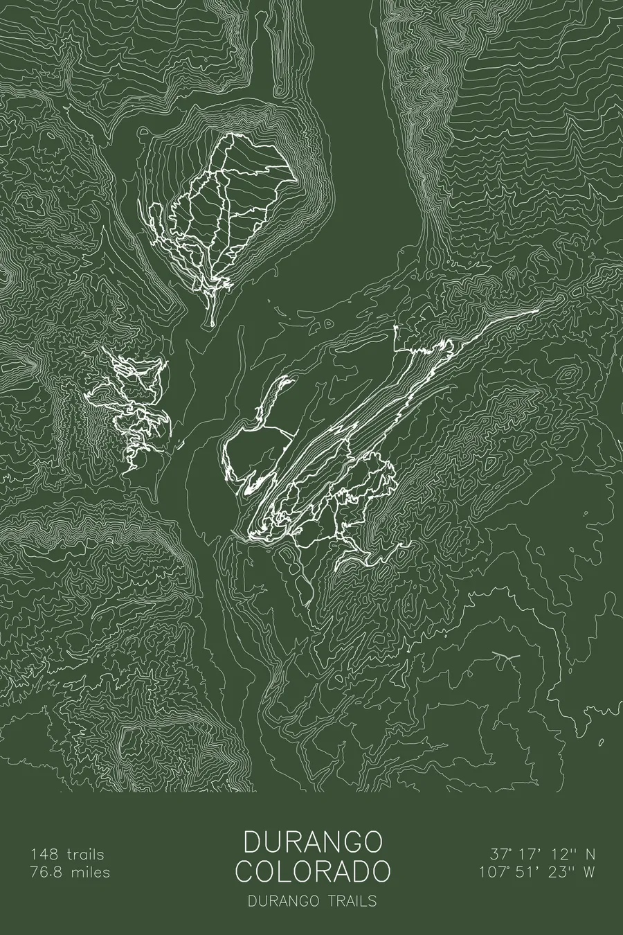
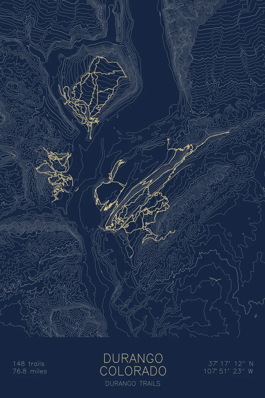
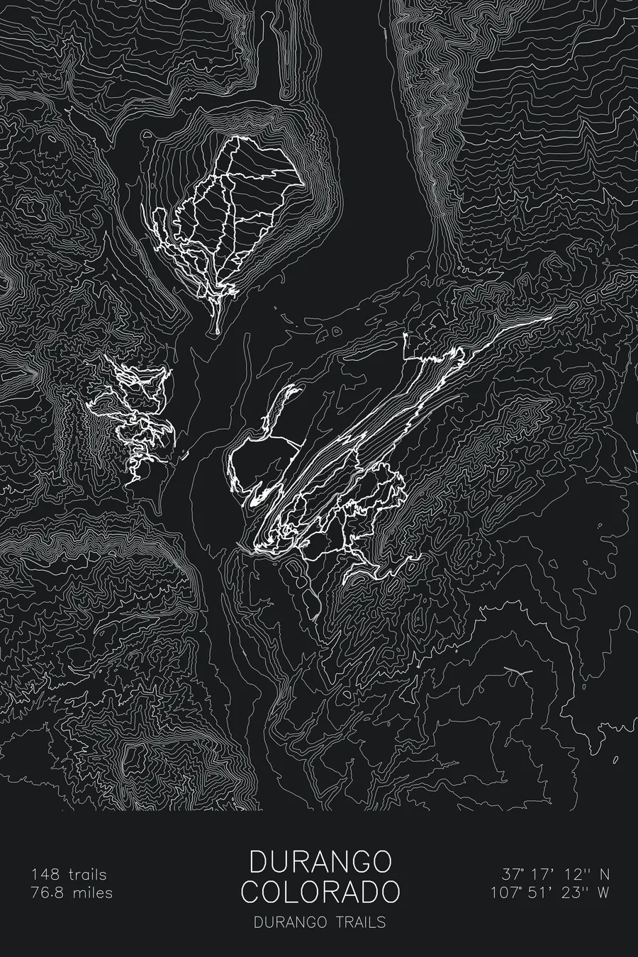
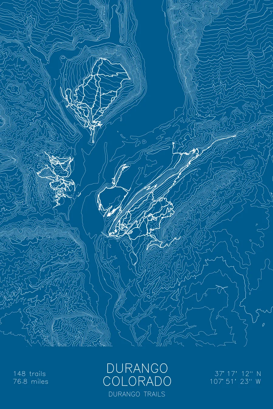
A mountain bike trail map of Durango, Colorado, combining the trail network with the surrounding topography.
Host of the first mountain bike world championships, in 1990, won by a local.
$63
Ink & paper: Tan
Size: 12×18"
+Personalize this map
+ Details
- 12 × 18 inches
- Drawn on 98 lb (160 gsm) archival cotton paper
- Precision technical pens and archival inks
- Signed and dated on the back
- Ships flat, protected, ready to frame
Each map begins with elevation data and is drawn by a pen plotter in our Vermont studio. Mechanical precision, plus the texture and small imperfections of real ink on paper.
Off the screen
In real rooms


+ About this map
The first official mountain bike world champion in history was a Durango local, crowned more or less in his backyard. In September 1990, Purgatory ski area above town hosted the first UCI-sanctioned Mountain Bike World Championships ever held, and Ned Overend won the 32.4-mile cross-country race. He said he knew it was his on the third lap, when he saw rival Thomas Frischknecht off his bike, pushing it up a climb. The town has kept riding: Horse Gulch climbs straight out of downtown, Twin Buttes stacks trails west of the Animas River, and the map covers 148 trails and 76.8 miles of singletrack.
The map traces the network across the contours of the Animas Valley, the river corridor running through the middle and trails climbing both walls. The contour lines show the split personality of the place: benched, mellow terrain through the gulch, tight stacked lines where the buttes rise, and the steep grades that remind you the San Juans start here. Town sits right in the middle of the ink.
+ Map details
- Durango
- Colorado
- United States
- Rocky Mountains
- 9,453 ft / 2,881 m
- 37.2867N 107.8564W
- Mountain bike trail map
- Original pen plot, archival ink on cotton paper
- 8 × 12 in · 12 × 18 in · 18 × 24 in
- 148 trails, 76.8 miles of singletrack
More maps