

New York
Giant Mountain
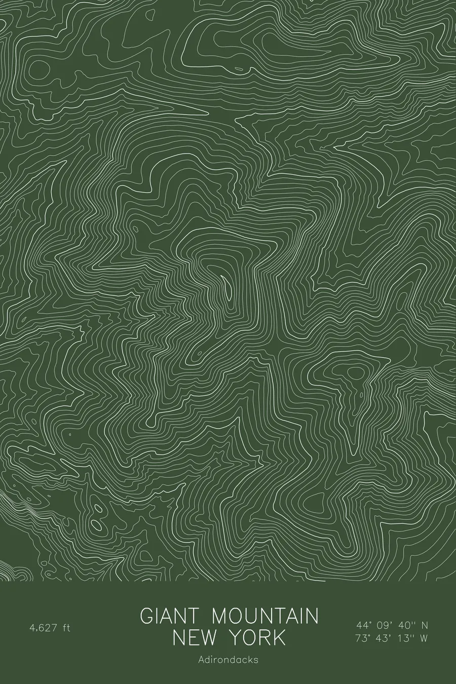
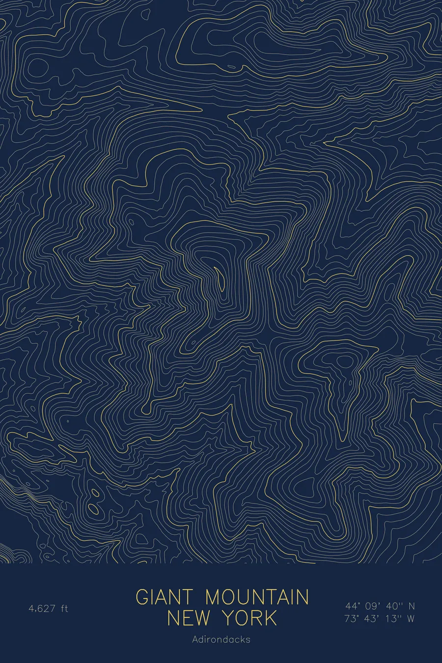
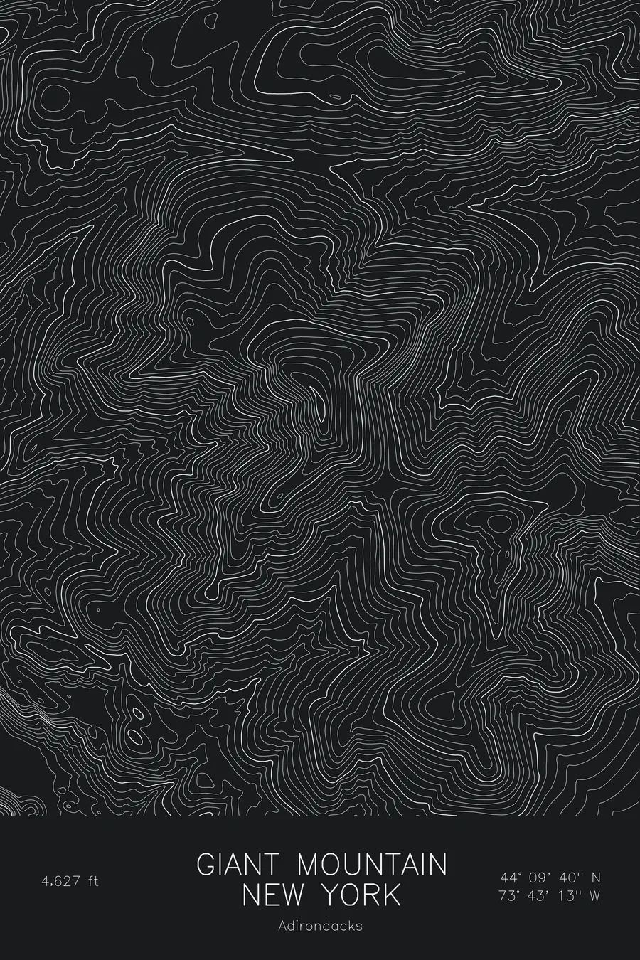
A pen-plotted topographic map of Giant Mountain in the Adirondacks, New York, drawn from real elevation contour data.
Giant of the Valley, twelfth-highest Adirondack High Peak above Keene Valley. 4,627 feet above sea level.
$54
Ink & paper: Blue
Size: 12×18"
+Personalize this map
+ Details
- 12 × 18 inches
- Drawn on 98 lb (160 gsm) archival cotton paper
- Precision technical pens and archival inks
- Signed and dated on the back
- Ships flat, protected, ready to frame
Each map begins with elevation data and is drawn by a pen plotter in our Vermont studio. Mechanical precision, plus the texture and small imperfections of real ink on paper.
Off the screen
In real rooms


+ About this map
Giant Mountain rises to 4,627 feet directly above Keene Valley in the Adirondack High Peaks, the twelfth-highest summit in New York and known locally as the Giant of the Valley. It stands apart from the main Great Range across the valley, which gives it an unusually clear view of the other High Peaks. Its west face is scarred with slides, and the small pond of the Giant’s Washbowl sits on the shelf below the summit above Roaring Brook Falls.
This map shows one of the biggest single rises in the Adirondacks. The contour lines run in tight, continuous bands up the west face from Keene Valley to the summit, with the slides visible as steep smooth tracks. The ridge continues east toward Rocky Peak Ridge. The elevation on this sheet runs from roughly 1,600 feet in the valley to the summit, more than 3,000 feet of relief on one mountain.
+ Map details
- Giant Mountain
- New York
- United States
- Adirondacks
- Adirondacks
- 4,627 ft / 1,410 m
- 44.1611N 73.7202W
- Mountain topographic map
- Original pen plot, archival ink on cotton paper
- 8 × 12 in · 12 × 18 in · 18 × 24 in
- Giant of the Valley, twelfth-highest Adirondack High Peak above Keene Valley
More maps