
Montana
Glacier National Park
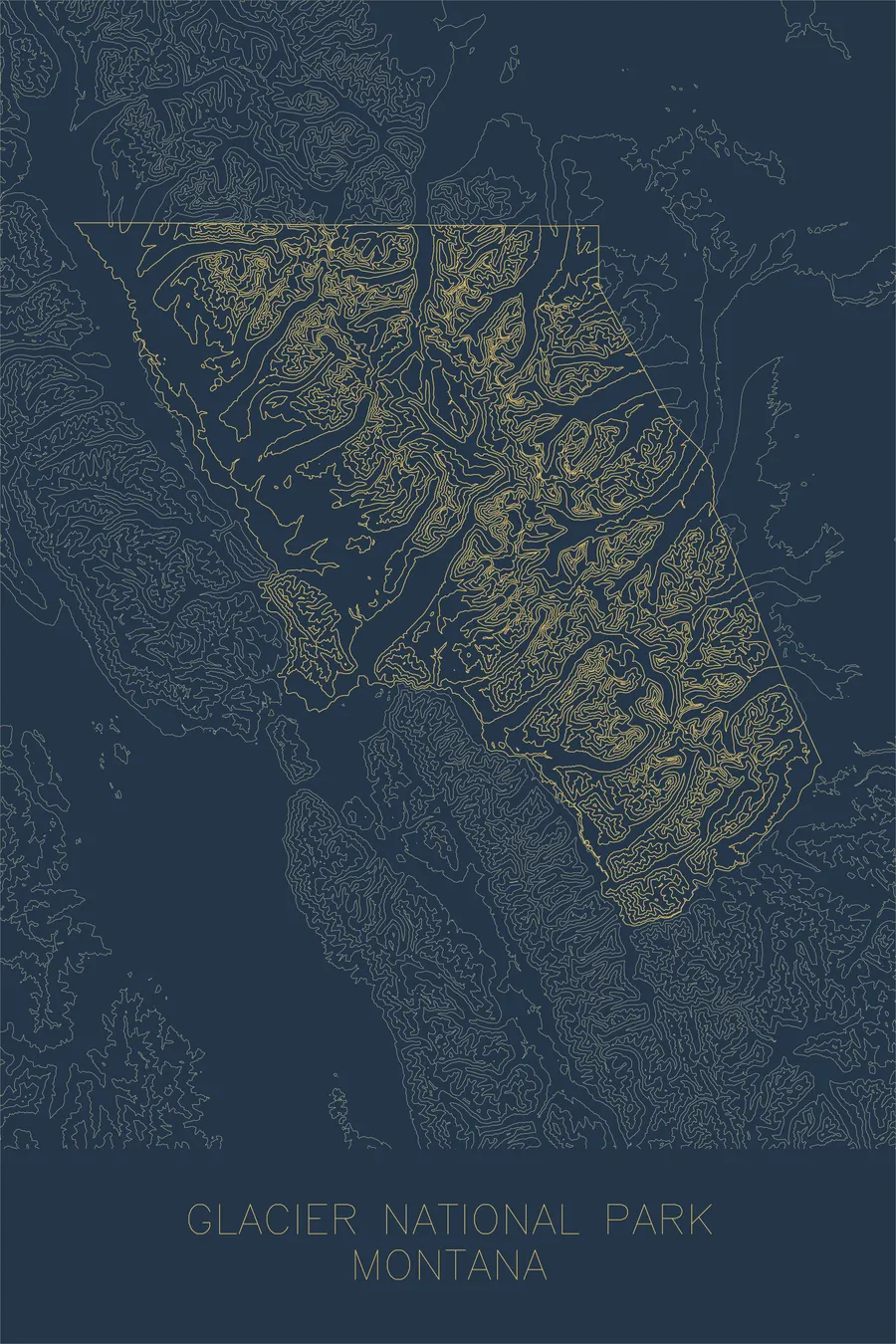
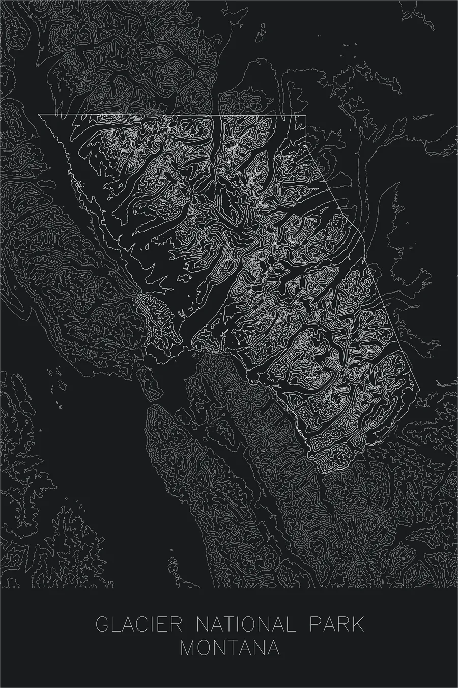
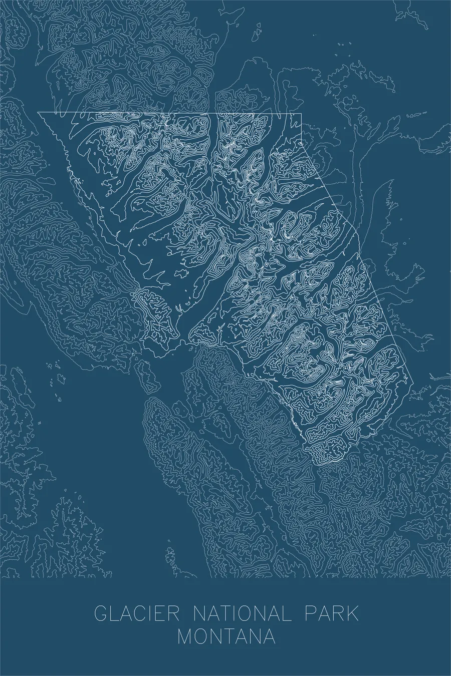
A pen-plotted topographic map of Glacier National Park, Montana, drawn from real elevation contour data.
Crown of the Continent, where the Great Plains meet the Northern Rockies. 10,052 feet above sea level.
$54
Ink & paper: Green
+Personalize this map
+ Details
- 12 × 18 inches
- Drawn on 98 lb (160 gsm) archival cotton paper
- Precision technical pens and archival inks
- Signed and dated on the back
- Ships flat, protected, ready to frame
Each map begins with elevation data and is drawn by a pen plotter in our Vermont studio. Mechanical precision, plus the texture and small imperfections of real ink on paper.
Off the screen
In real rooms


+ About this map
Glacier National Park spans over a million acres along the northern spine of the Rocky Mountains in Montana, a landscape carved by the same forces that gave it its name. Ancient glaciers sculpted the peaks into sharp aretes, carved cirques into the mountainsides, and gouged the deep U-shaped valleys that now hold long, narrow lakes. The park straddles the Continental Divide, sending water to the Pacific, the Atlantic, and Hudson Bay, one of the only places on the continent where three ocean drainages meet.
This map reveals the park’s extraordinary topographic density. The contour lines compress along the knife-edge ridgelines of the Garden Wall and the steep faces below peaks like Mount Cleveland, the park’s highest at 10,052 feet. They spread apart across the broad valley floors where the glacial lakes McDonald, St. Mary, and Two Medicine stretch for miles. It is a landscape where the vertical and horizontal exist in constant, dramatic tension.
+ Map details
- Glacier National Park
- Montana
- United States
- Rocky Mountains
- Rocky Mountains
- 10,052 ft / 3,064 m
- 48.7596N 113.7870W
- National park topographic map
- Original pen plot, archival ink on cotton paper
- 12 × 18 in
- Crown of the Continent, where the Great Plains meet the Northern Rockies
More maps