
Utah
Gooseberry Mesa
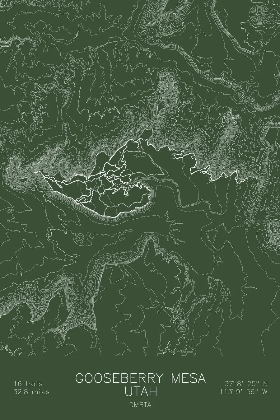
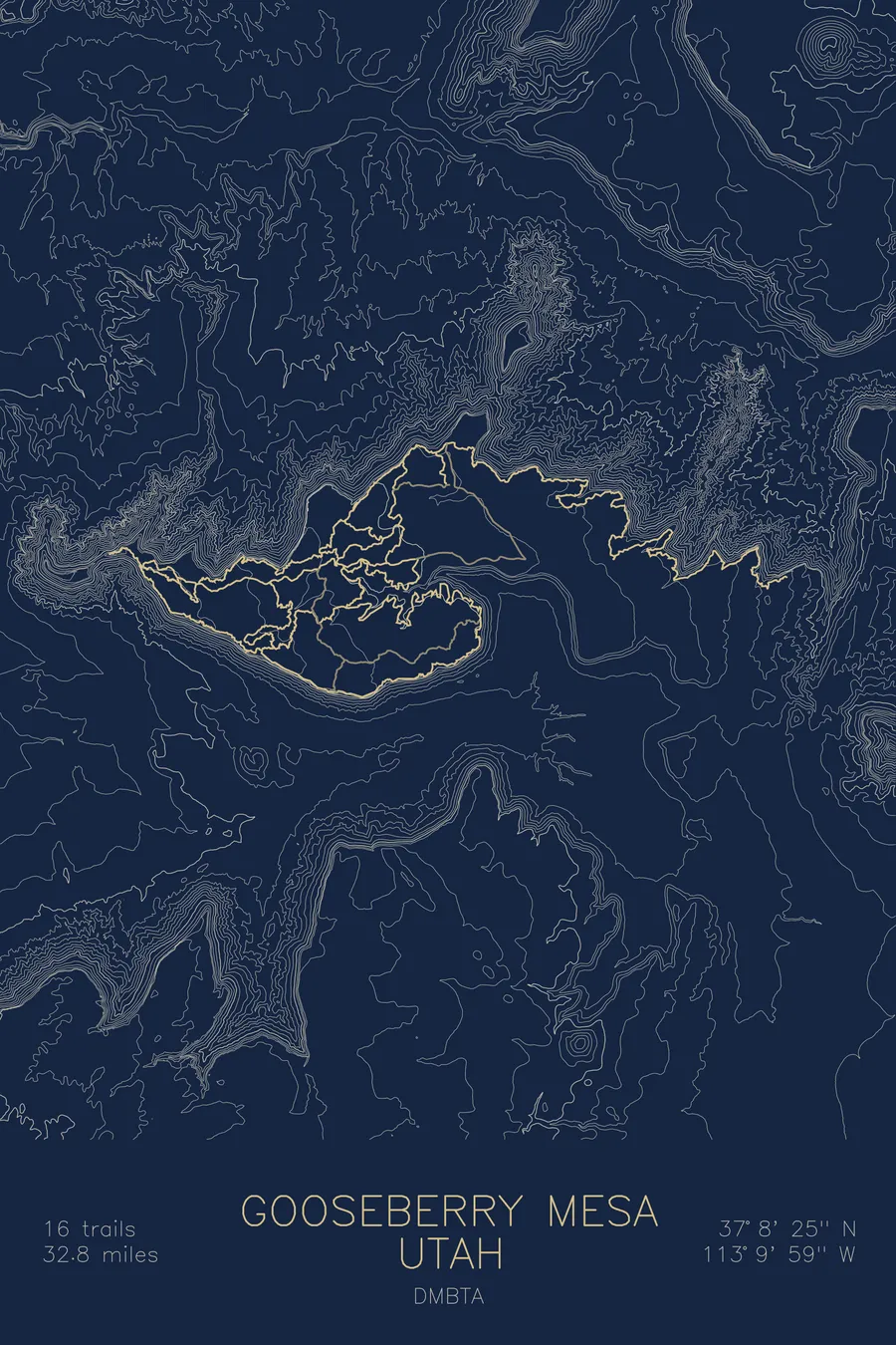
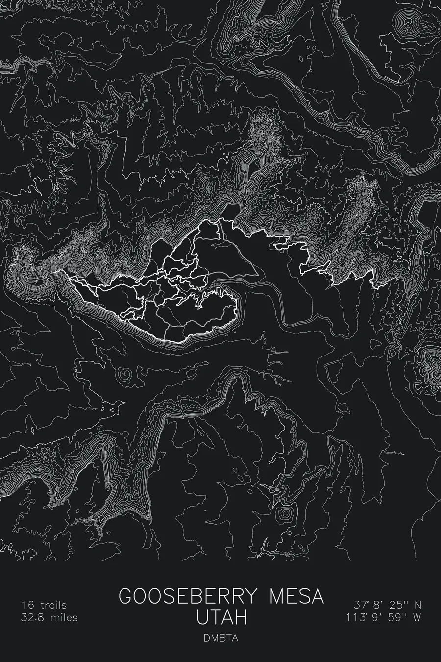
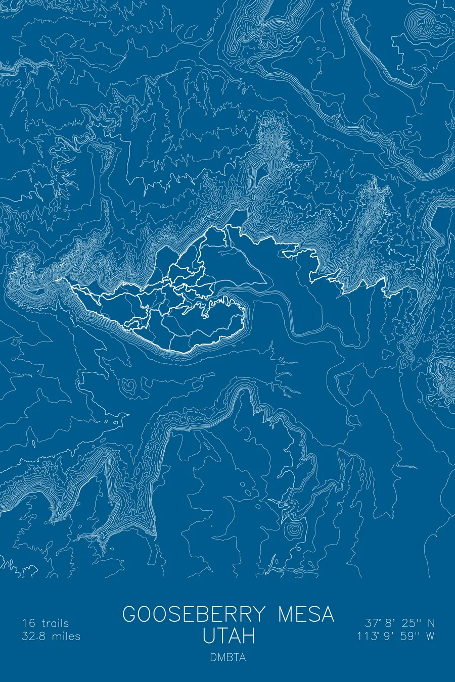
A mountain bike trail map of Gooseberry Mesa, Utah, combining the trail network with the surrounding topography.
The official trail markers are dots of white paint on the rock.
$63
Ink & paper: Tan
Size: 12×18"
+Personalize this map
+ Details
- 12 × 18 inches
- Drawn on 98 lb (160 gsm) archival cotton paper
- Precision technical pens and archival inks
- Signed and dated on the back
- Ships flat, protected, ready to frame
Each map begins with elevation data and is drawn by a pen plotter in our Vermont studio. Mechanical precision, plus the texture and small imperfections of real ink on paper.
Off the screen
In real rooms


+ About this map
Riders on Gooseberry Mesa navigate by dots of white paint on the sandstone, and this is the official system. Mike and Morgan Harris, who knew the mesa’s maze-like slickrock from years of hunting trips, started marking their bike routes that way in the early 1990s because the fractured rock made conventional trail signage useless. Rather than erase the unofficial trails, the BLM dedicated them on October 16, 1999 as the first official mountain bike trail in Washington County, Utah, paint and all, and in 2006 certified the route a National Recreation Trail. Today 16 trails and 32.8 miles of singletrack loop across a flat-topped island of slickrock above Hurricane, with cliff edges on every side.
The map makes the geography obvious. The contour lines stay sparse and calm across the mesa top, then slam together at the rim where the cliffs fall away toward Zion country. The trail lines run right along that edge, threading between the rim and the slickrock bowls of the interior. Few maps show so clearly why a place rides the way it does: it is all edge, and the trails know it.
+ Map details
- Gooseberry Mesa
- Utah
- United States
- Colorado Plateau
- 6,301 ft / 1,921 m
- 37.1403N 113.1664W
- Mountain bike trail map
- Original pen plot, archival ink on cotton paper
- 8 × 12 in · 12 × 18 in · 18 × 24 in
- 16 trails, 32.8 miles of singletrack
More maps