Montana
Granite Peak
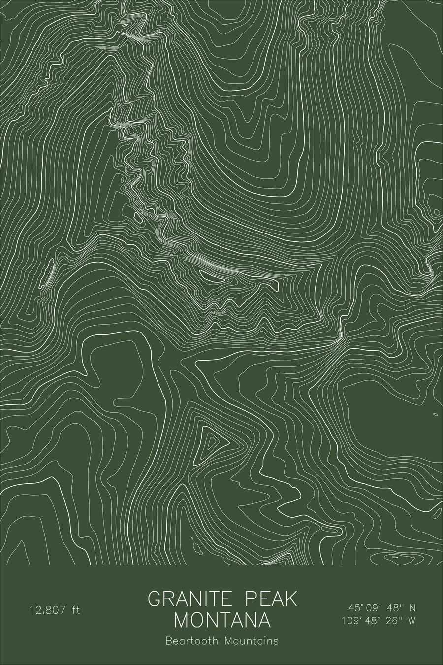
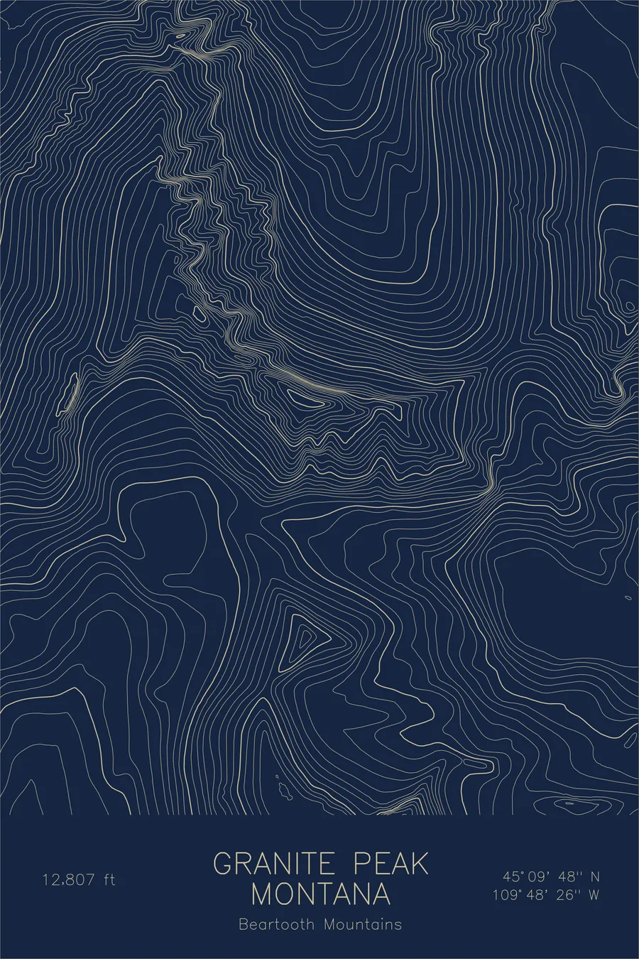
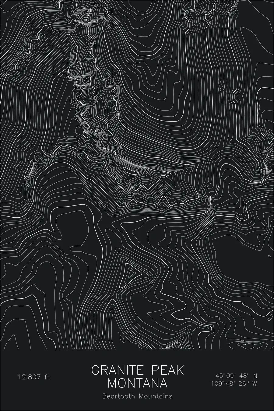
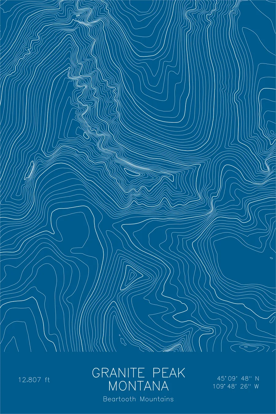
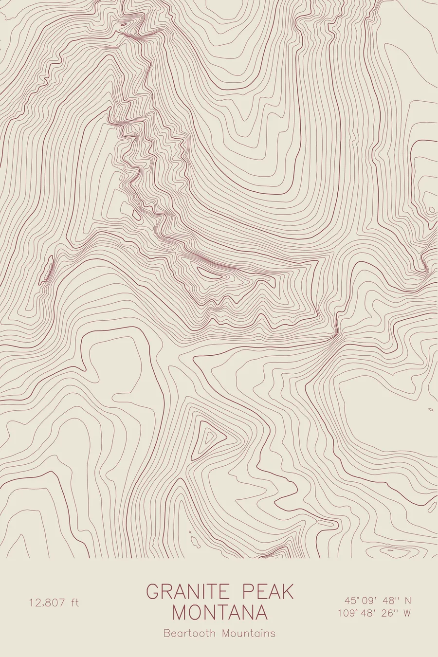
A pen-plotted topographic map of Granite Peak in the Beartooth Mountains, Montana, drawn from real elevation contour data.
The last state high point to be climbed, in 1923, a full decade after Denali.
$54
Ink & paper: Black
Size: 12×18"
+Personalize this map
+ Details
- 12 × 18 inches
- Drawn on 98 lb (160 gsm) archival cotton paper
- Precision technical pens and archival inks
- Signed and dated on the back
- Ships flat, protected, ready to frame
Each map begins with elevation data and is drawn by a pen plotter in our Vermont studio. Mechanical precision, plus the texture and small imperfections of real ink on paper.
Off the screen
In real rooms


+ About this map
Denali, more than 7,000 feet taller than anything in Montana, was summited in 1913. It took another full decade for anyone to climb Granite Peak, which at 12,807 feet was the last of the state high points to be reached: Forest Service forester Elers Koch, James C. Whitham, and R.T. Ferguson finally got up it on August 29, 1923. The mountain earned the delay honestly. It sits deep in the Absaroka-Beartooth Wilderness, far from any road, the weather is notoriously unstable, and the summit block demands real climbing rather than hiking.
The map shows why. Contour lines crowd against the north face, where snow and ice linger year-round above glacial cirques, and trace the jagged crest connecting Granite to its neighboring towers. To the east spreads the strange flat expanse of Froze-to-Death Plateau, the high tundra bench most climbers cross on the approach, its wide contour spacing a sharp contrast to the tight verticals of the summit ridge.
+ Map details
- Granite Peak
- Montana
- United States
- Beartooth Mountains
- Rocky Mountains
- 12,807 ft / 3,904 m
- 45.1633N 109.8072W
- Mountain topographic map
- Original pen plot, archival ink on cotton paper
- 8 × 12 in · 12 × 18 in · 18 × 24 in
- Highest point in Montana, technical scramble
More maps