

California
Half Dome
$60
Color — Green
Made to order — ships in 1–4 business days. Shipping & returns
Details
- 12 × 18 inches
- Printed on 98 lb (160 gsm) archival cotton rag paper
- Drawn using precision technical pens and archival inks
- Signed and dated on the back
- Ships flat, carefully protected and ready to frame
Each map begins with elevation data and is drawn by a pen plotter in our Vermont studio. The result merges mechanical precision with the organic texture and imperfections of real ink on paper.
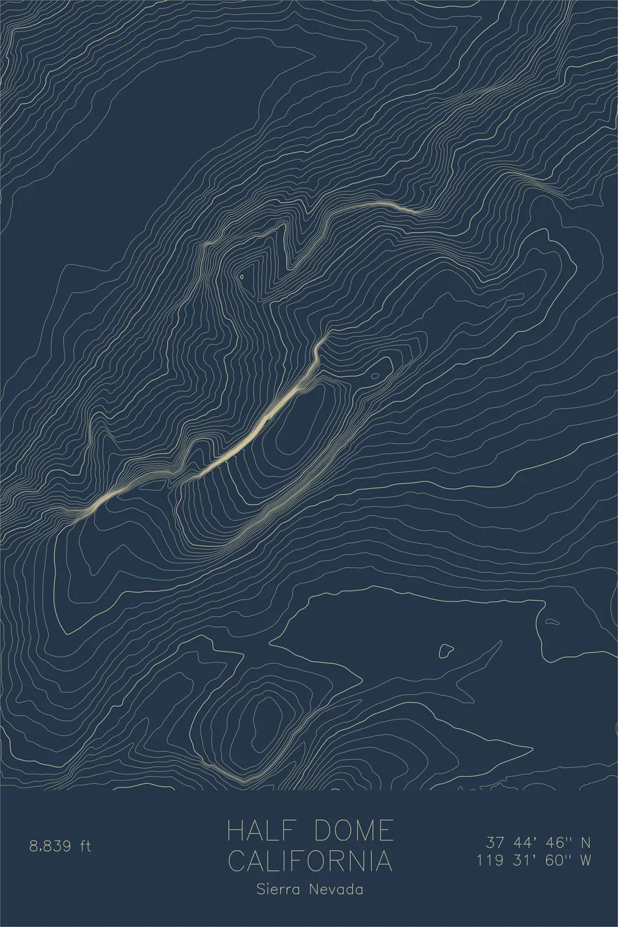
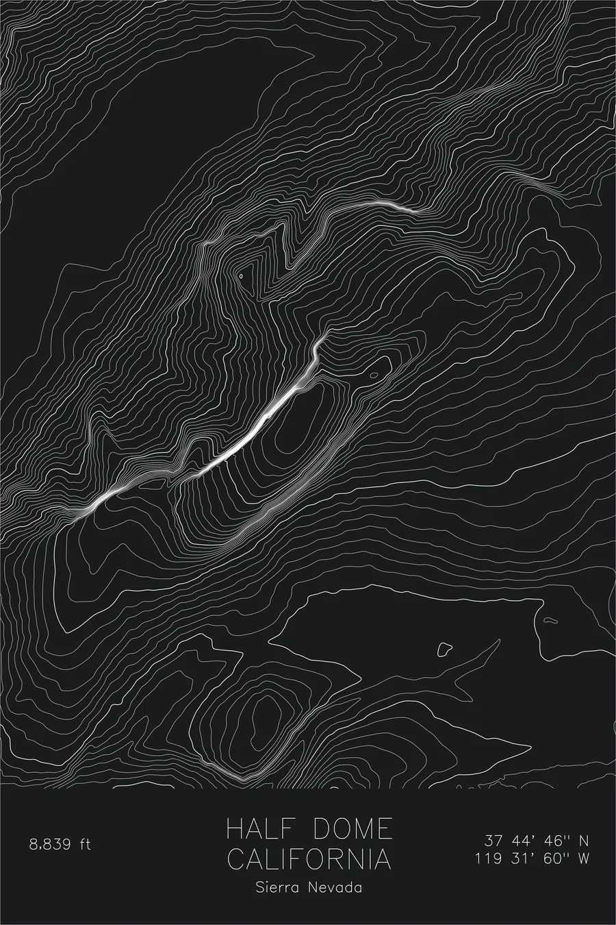
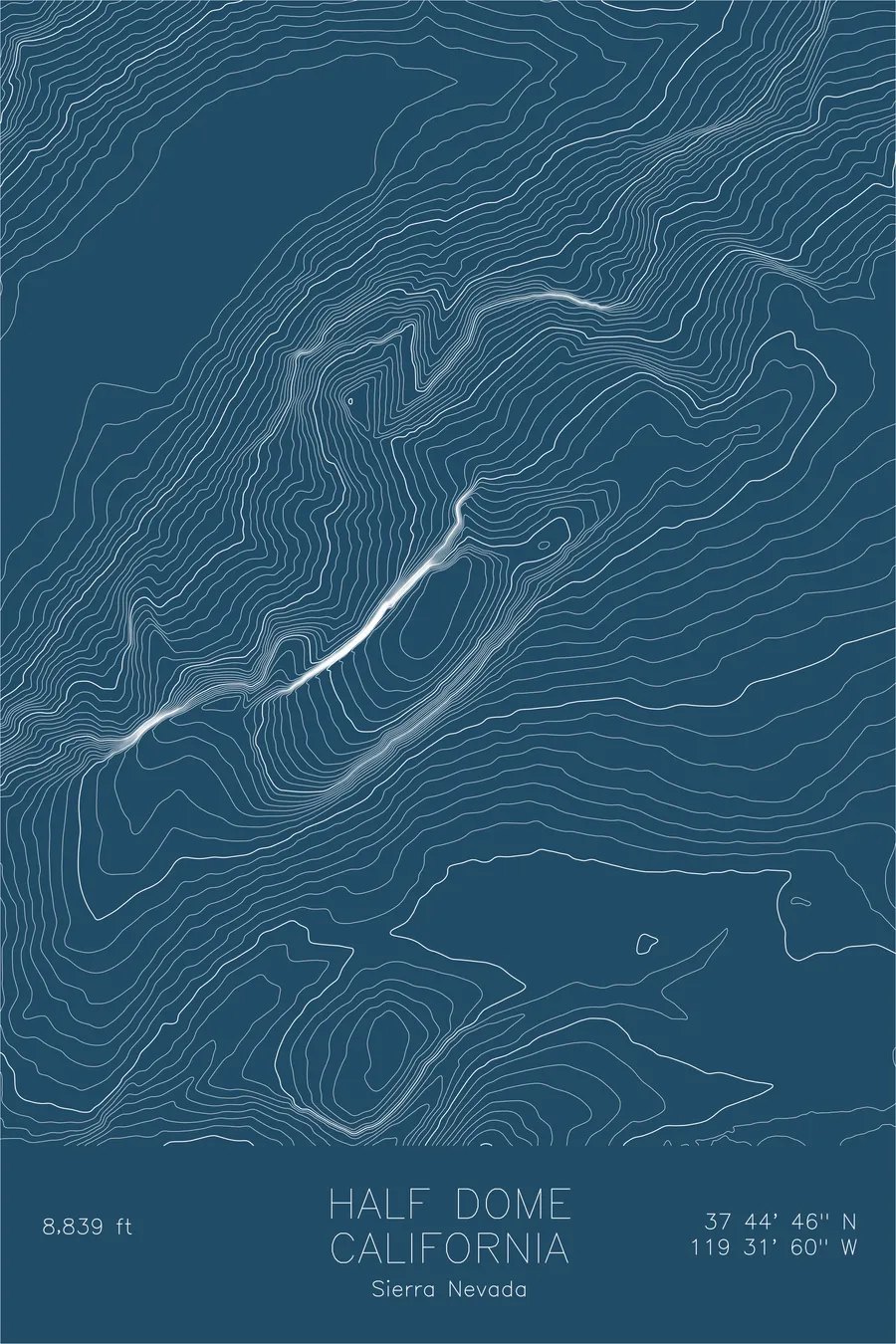
Half Dome rises nearly 5,000 feet above the floor of Yosemite Valley, its sheer northwest face one of the most recognizable rock formations on Earth. The granite monolith was shaped by glaciers over millions of years.
This map traces every contour of Half Dome and the surrounding terrain, from the steep walls of Tenaya Canyon to the carved-out basin of Mirror Lake. The topographic lines reveal the true steepness of the face, the gentle curve of the subdome, and the intricate drainage patterns that feed Yosemite’s waterfalls.
Location Details
Location
Half Dome
Range
Sierra Nevada
Region
Sierra Nevada
Elevation
8,839 ft / 2,694 m
Coordinates
37.7459, -119.5332
Type
peak
One of the most iconic granite formations on Earth
Off the Screen


Real-life examples in the selected colorway
More Maps


