
New Hampshire
Highland
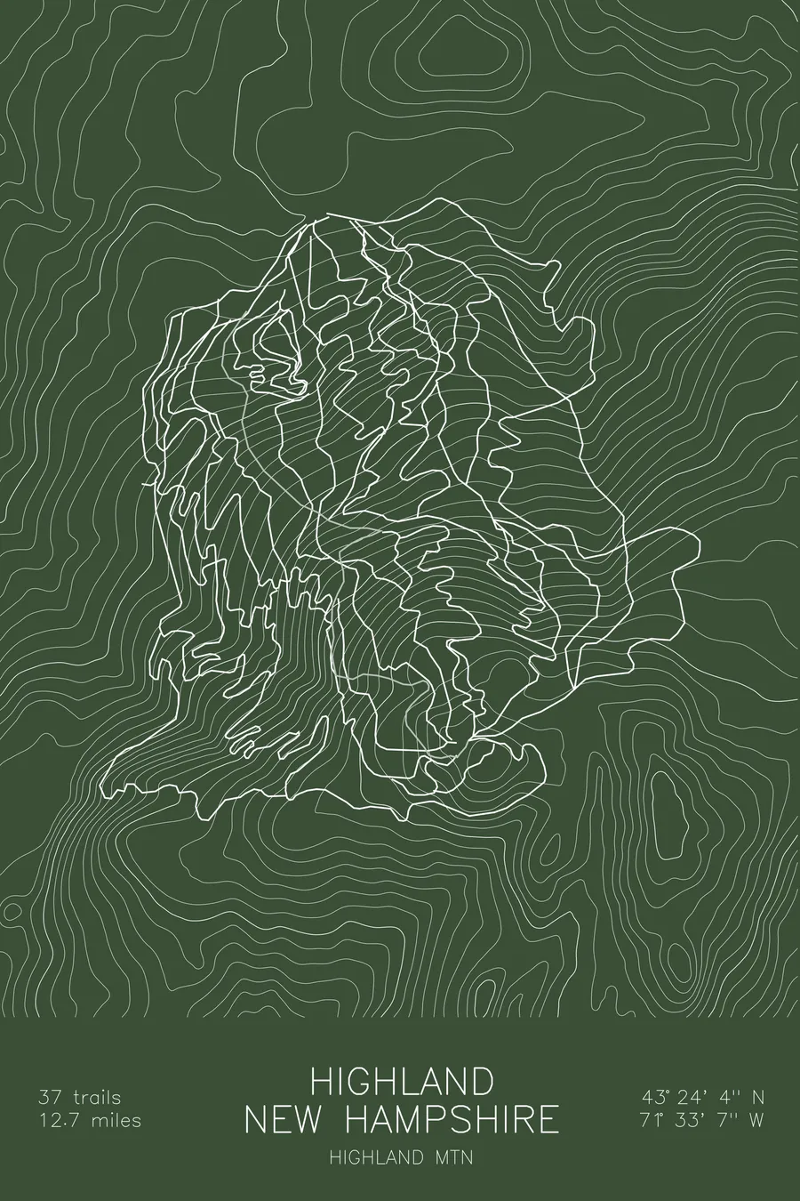
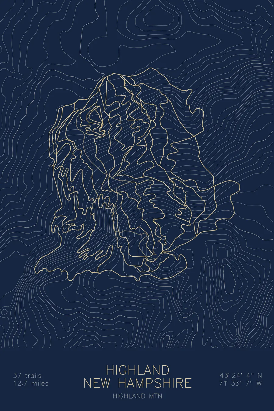
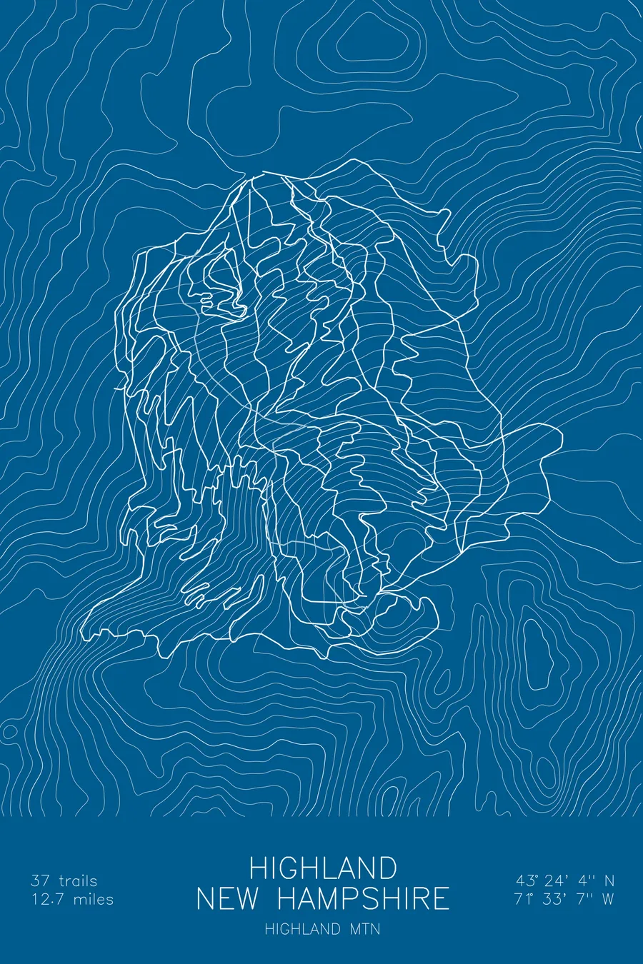
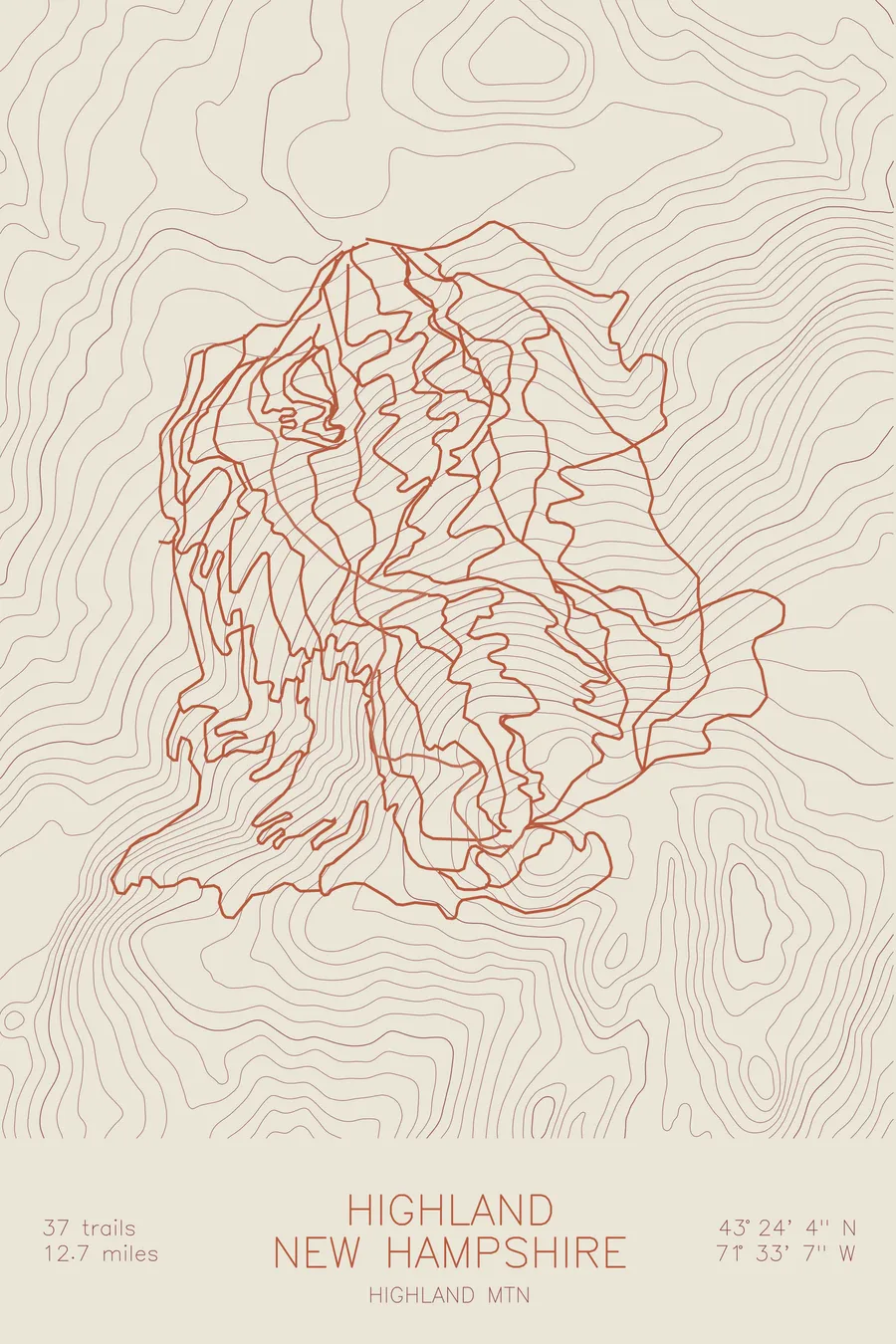
A mountain bike trail map of Highland, New Hampshire, combining the trail network with the surrounding topography.
A ski hill that reopened in 2006 with the skiing removed.
$63
Ink & paper: Black
Size: 12×18"
+Personalize this map
+ Details
- 12 × 18 inches
- Drawn on 98 lb (160 gsm) archival cotton paper
- Precision technical pens and archival inks
- Signed and dated on the back
- Ships flat, protected, ready to frame
Each map begins with elevation data and is drawn by a pen plotter in our Vermont studio. Mechanical precision, plus the texture and small imperfections of real ink on paper.
Off the screen
In real rooms


+ About this map
Highland is a ski area with no skiing, which turned out to be the making of it. The hill in Northfield, New Hampshire opened on February 2, 1969, closed under debt in 1995, and sat idle until July 2003, when Mark Hayes, fresh from selling his family’s fiber-optic business and having seen Whistler’s bike park in British Columbia, bought it. He reopened the mountain in 2006 as a bikes-only park, retrofitted its 1987 Borvig triple chairlift with bike carriers, and counted 1,600 rider visits in year one. For years it was the only lift-served, biking-only area in the United States; today it stacks 37 trails and 12.7 miles of singletrack onto one hillside.
The map traces every trail from the summit back to the base, all of it fed by the chairlift up the middle. The contour lines show a single, focused fall line, and the trails work it over and over: some cutting straight down the grade, others swinging wide across the hillside to stretch the descent. It is a small mountain drawn at high density, which is exactly how it rides.
+ Map details
- Highland
- New Hampshire
- United States
- New England
- 1,506 ft / 459 m
- 43.4011N 71.5519W
- Mountain bike trail map
- Original pen plot, archival ink on cotton paper
- 8 × 12 in · 12 × 18 in · 18 × 24 in
- 37 trails, 12.7 miles of singletrack
More maps