

Peru
Huascaran
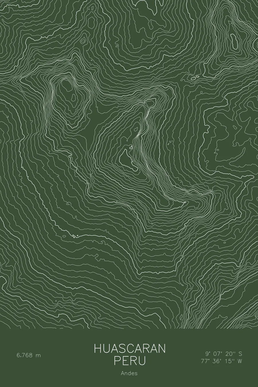
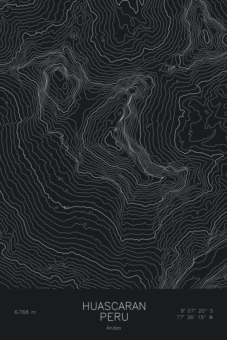
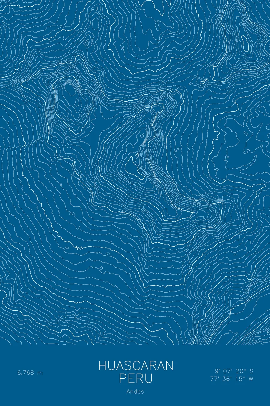
A pen-plotted topographic map of Huascaran in the Andes, Peru, drawn from real elevation contour data.
Highest peak in Peru. 22,205 feet above sea level.
$54
Ink & paper: Navy
Size: 12×18"
+Personalize this map
+ Details
- 12 × 18 inches
- Drawn on 98 lb (160 gsm) archival cotton paper
- Precision technical pens and archival inks
- Signed and dated on the back
- Ships flat, protected, ready to frame
Each map begins with elevation data and is drawn by a pen plotter in our Vermont studio. Mechanical precision, plus the texture and small imperfections of real ink on paper.
Off the screen
In real rooms


+ About this map
Huascaran rises to 22,205 feet in the Cordillera Blanca of Peru, the highest mountain in the country and the highest anywhere in Earth’s tropics. It is a double mountain: the main summit, Huascaran Sur, and its twin, Huascaran Norte, stand about a mile apart, separated by the high saddle called the Garganta. Despite sitting only nine degrees south of the equator, the massif carries heavy glaciation year-round.
The map shows both summits and the ice between them. Contour lines pinch through the Garganta col, the passage used by the normal route, and spread down the glaciated western slopes toward the Rio Santa valley thousands of feet below. On the east the lines fall even more steeply toward the Amazon side of the divide, tracing the sheer faces that make the Cordillera Blanca the greatest concentration of high peaks in the tropical Andes.
+ Map details
- Huascaran
- Peru
- Andes
- Andes
- 22,205 ft / 6,768 m
- 9.1222S 77.6042W
- Mountain topographic map
- Original pen plot, archival ink on cotton paper
- 8 × 12 in · 12 × 18 in · 18 × 24 in
- Highest peak in Peru
More maps