Arizona
Humphreys Peak
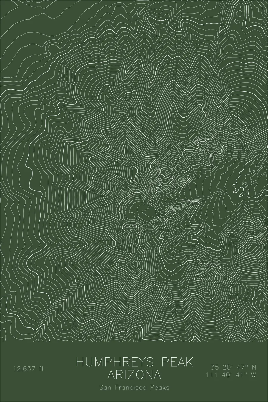
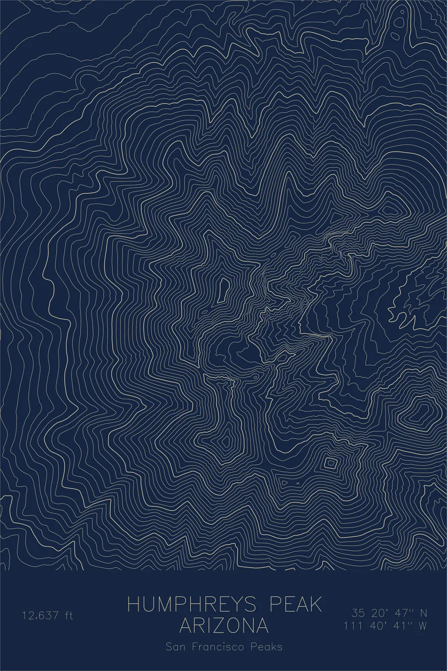
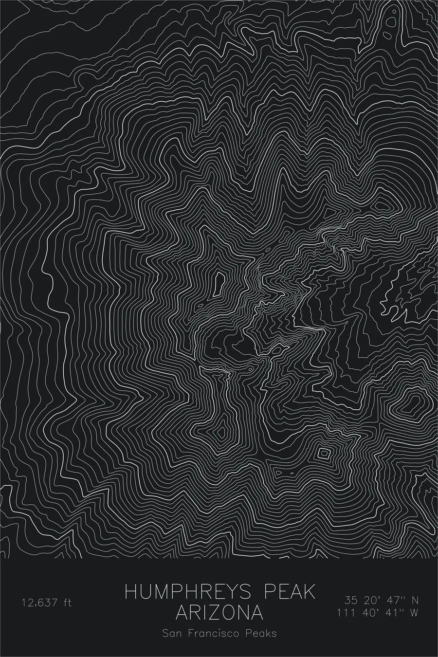
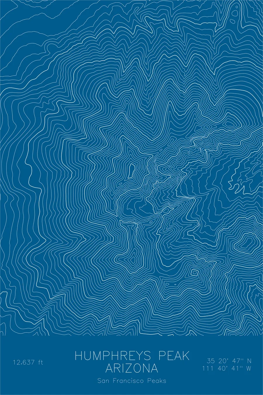
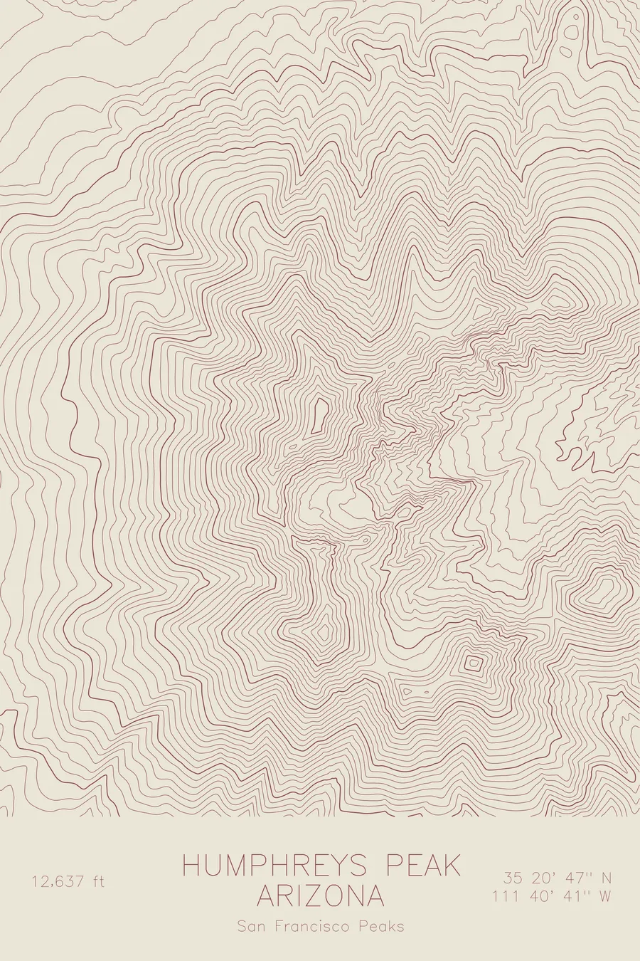
A pen-plotted topographic map of Humphreys Peak in the San Francisco Peaks, Arizona, drawn from real elevation contour data.
Highest point in Arizona, the eroded remnant of a massive stratovolcano. 12,637 feet above sea level.
$54
Ink & paper: Navy
Size: 12×18"
+Personalize this map
+ Details
- 12 × 18 inches
- Drawn on 98 lb (160 gsm) archival cotton paper
- Precision technical pens and archival inks
- Signed and dated on the back
- Ships flat, protected, ready to frame
Each map begins with elevation data and is drawn by a pen plotter in our Vermont studio. Mechanical precision, plus the texture and small imperfections of real ink on paper.
Off the screen
In real rooms


+ About this map
Humphreys Peak stands at 12,637 feet, the highest point in Arizona and the crown of the San Francisco Peaks, the eroded remnants of a stratovolcano that once may have exceeded 16,000 feet. The surrounding volcanic field remains young; its most recent eruption, at nearby Sunset Crater, came roughly a thousand years ago. The landscape carries cinder cones, lava flows, and the dramatic Inner Basin, a deep bowl carved into the mountain’s core.
This map reveals the radial symmetry of the old volcano. The contour lines fan outward from the summit ridge in concentric arcs, tightening where glacial cirques bite into the northeast face. The Inner Basin opens as a wide depression surrounded by the converging ridgelines of Humphreys, Agassiz, and Fremont peaks: a topographic signature of volcanic collapse and glacial erosion working in concert.
+ Map details
- Humphreys Peak
- Arizona
- United States
- San Francisco Peaks
- Southwest
- 12,637 ft / 3,852 m
- 35.3464N 111.6781W
- Mountain topographic map
- Original pen plot, archival ink on cotton paper
- 8 × 12 in · 12 × 18 in · 18 × 24 in
- Highest point in Arizona, the eroded remnant of a massive stratovolcano
More maps