Switzerland
Jungfrau
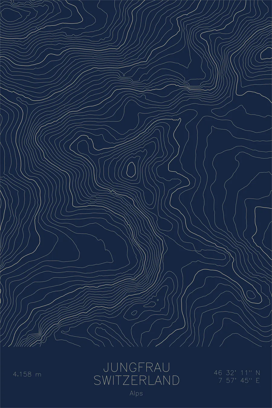
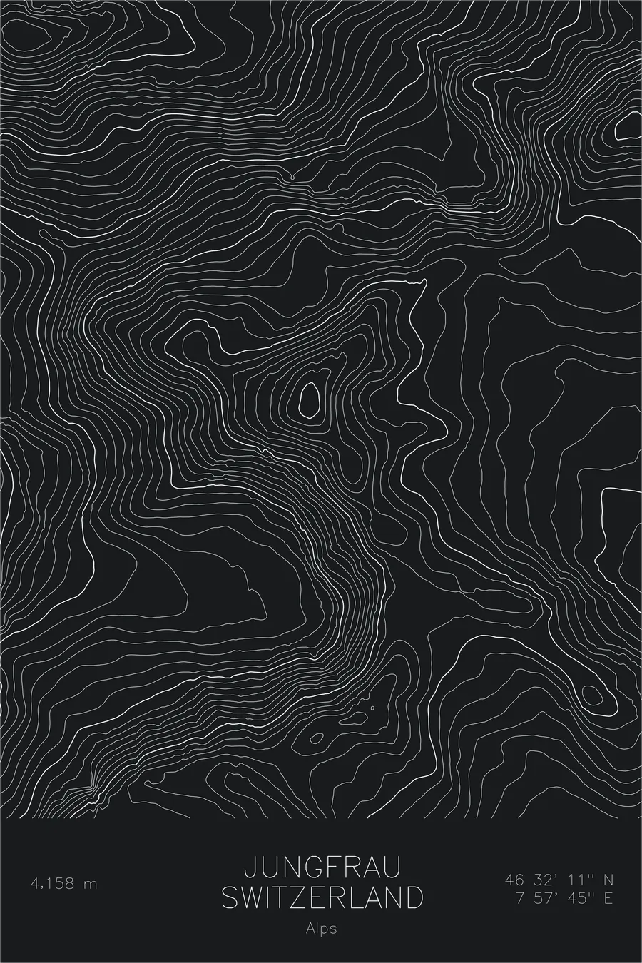
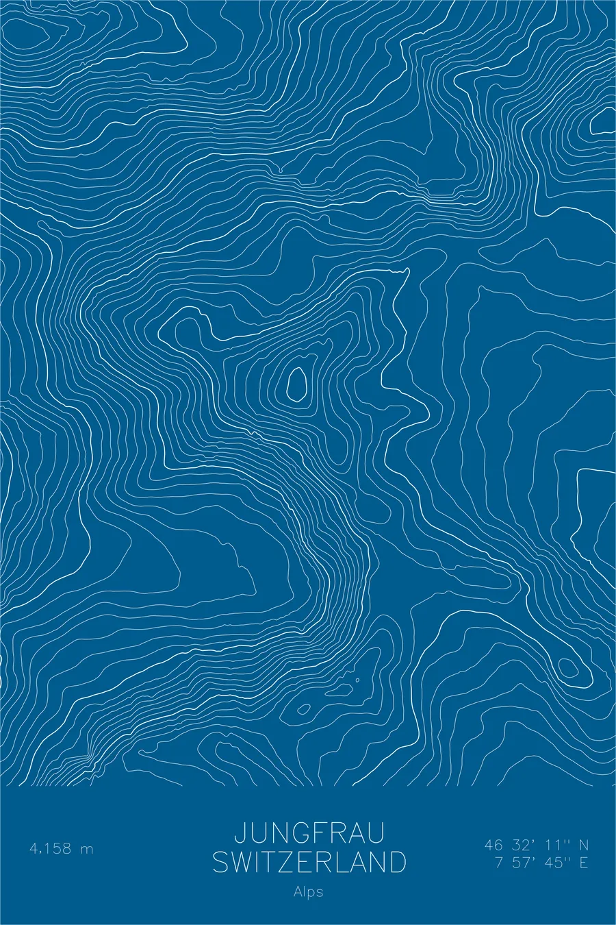
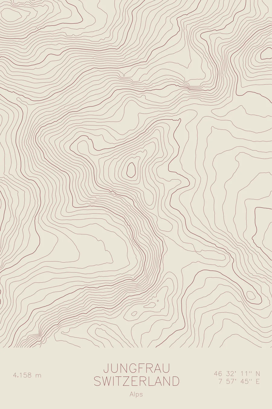
A pen-plotted topographic map of Jungfrau in the Alps, Switzerland, drawn from real elevation contour data.
UNESCO World Heritage, highest railway in Europe. 13,642 feet above sea level.
$54
Ink & paper: Green
Size: 12×18"
+Personalize this map
+ Details
- 12 × 18 inches
- Drawn on 98 lb (160 gsm) archival cotton paper
- Precision technical pens and archival inks
- Signed and dated on the back
- Ships flat, protected, ready to frame
Each map begins with elevation data and is drawn by a pen plotter in our Vermont studio. Mechanical precision, plus the texture and small imperfections of real ink on paper.
Off the screen
In real rooms


+ About this map
The Jungfrau rises 13,642 feet in the Bernese Alps, the westernmost summit of the famous trio it forms with the Mönch and the Eiger. Together the three peaks present a single great wall of rock and ice above the meadows of Grindelwald and Lauterbrunnen. On the far side of that wall lies the Aletsch Glacier, the longest in the Alps, and the whole region is protected as the Jungfrau-Aletsch UNESCO World Heritage site. The Jungfraujoch railway, the highest in Europe, tunnels through the Eiger and Mönch to a saddle just below the summit.
This map shows the sharp divide the mountain creates. The contour lines crowd together on the north side, where the face plunges toward the Lauterbrunnen valley, then open into the broad glacial basins that feed the Aletsch on the south. The saddle of the Jungfraujoch appears as a clear gap in the ridgeline between the Jungfrau and the Mönch, a notch in an otherwise unbroken crest of ice.
+ Map details
- Jungfrau
- Switzerland
- Alps
- Alps
- 13,642 ft / 4,158 m
- 46.5364N 7.9625E
- Mountain topographic map
- Original pen plot, archival ink on cotton paper
- 8 × 12 in · 12 × 18 in · 18 × 24 in
- UNESCO World Heritage, highest railway in Europe
More maps