British Columbia
Kicking Horse
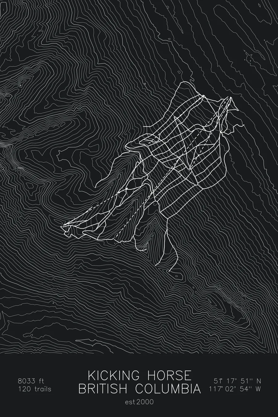
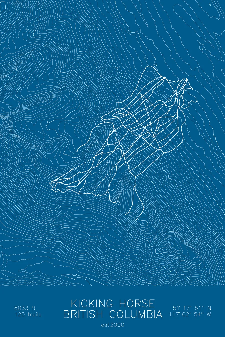
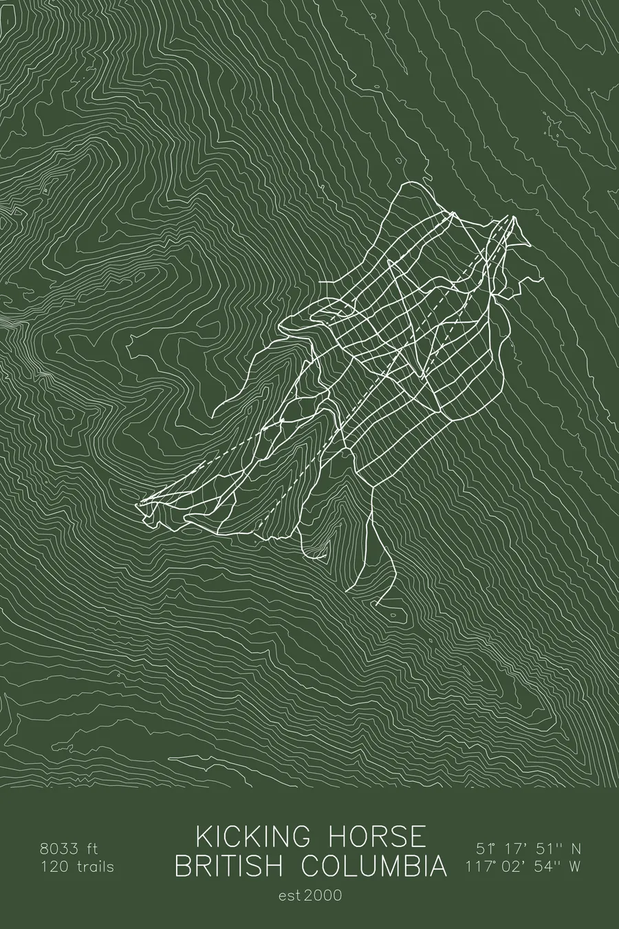
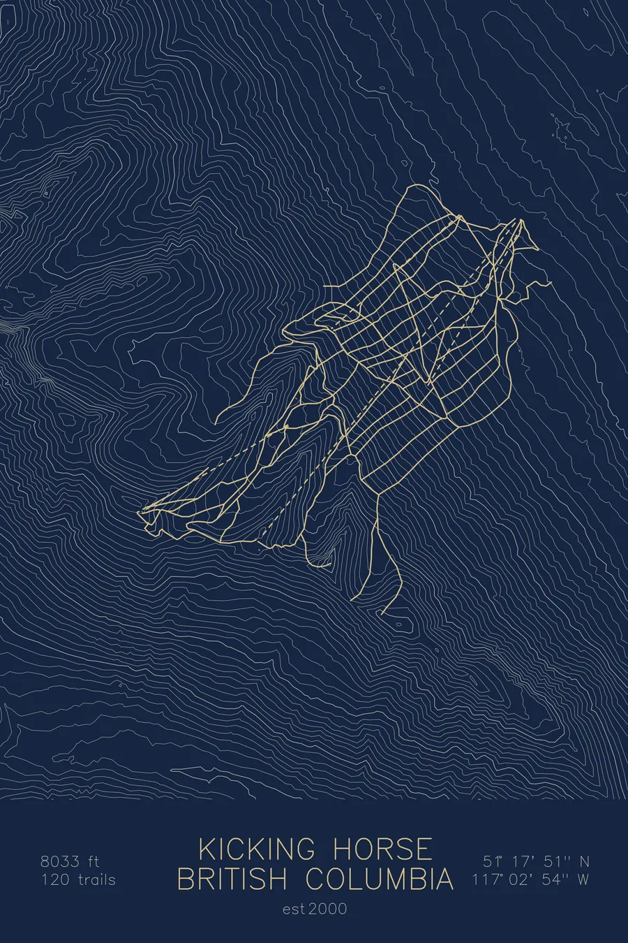
A topographic ski map of Kicking Horse, British Columbia, with the resort's runs and lifts drawn over real terrain in a minimalist contour-line design.
Named for an 1858 horse kick that got geologist James Hector's grave dug while he was still alive.
$63
Ink & paper: Arctic White
Size: 12×18"
+Personalize this map
+ Details
- 12 × 18 inches
- Drawn on 98 lb (160 gsm) archival cotton paper
- Precision technical pens and archival inks
- Signed and dated on the back
- Ships flat, protected, ready to frame
Each map begins with elevation data and is drawn by a pen plotter in our Vermont studio. Mechanical precision, plus the texture and small imperfections of real ink on paper.
Off the screen
In real rooms


+ About this map
Kicking Horse is named for the day its namesake nearly attended his own funeral. In 1858, Palliser Expedition geologist James Hector was kicked in the chest by his horse near the pass; his companions thought him dead and dug his grave before he came to. “When I regained consciousness,” Hector said on a visit in 1903, “my grave was dug and they were preparing to put me in it.” The resort opened in 2000 above Golden, British Columbia, in the Dogtooth Range of the Purcells, with more than 4,000 vertical feet of ridgeline chutes and alpine bowls, plus, mid-mountain, a 20-acre enclosure housing a single rescued grizzly bear named Boo.
The gondola tops out at 8,033 feet at the Eagle’s Eye, where the Rockies fill the eastern horizon across the Columbia Valley. The resort calls its snow champagne powder, and the terrain earns its reputation as expert country. The contours on this map trace the ridges and bowls that make it so.
+ Map details
- Kicking Horse
- British Columbia
- Canada
- Canadian Rockies
- 8,033 ft / 2,448 m
- 51.2975N 117.0483W
- Ski resort trail map
- Original pen plot, archival ink on cotton paper
- 8 × 12 in · 12 × 18 in · 18 × 24 in
- Est. 2000. 120 trails
More maps