
Utah
Kings Peak
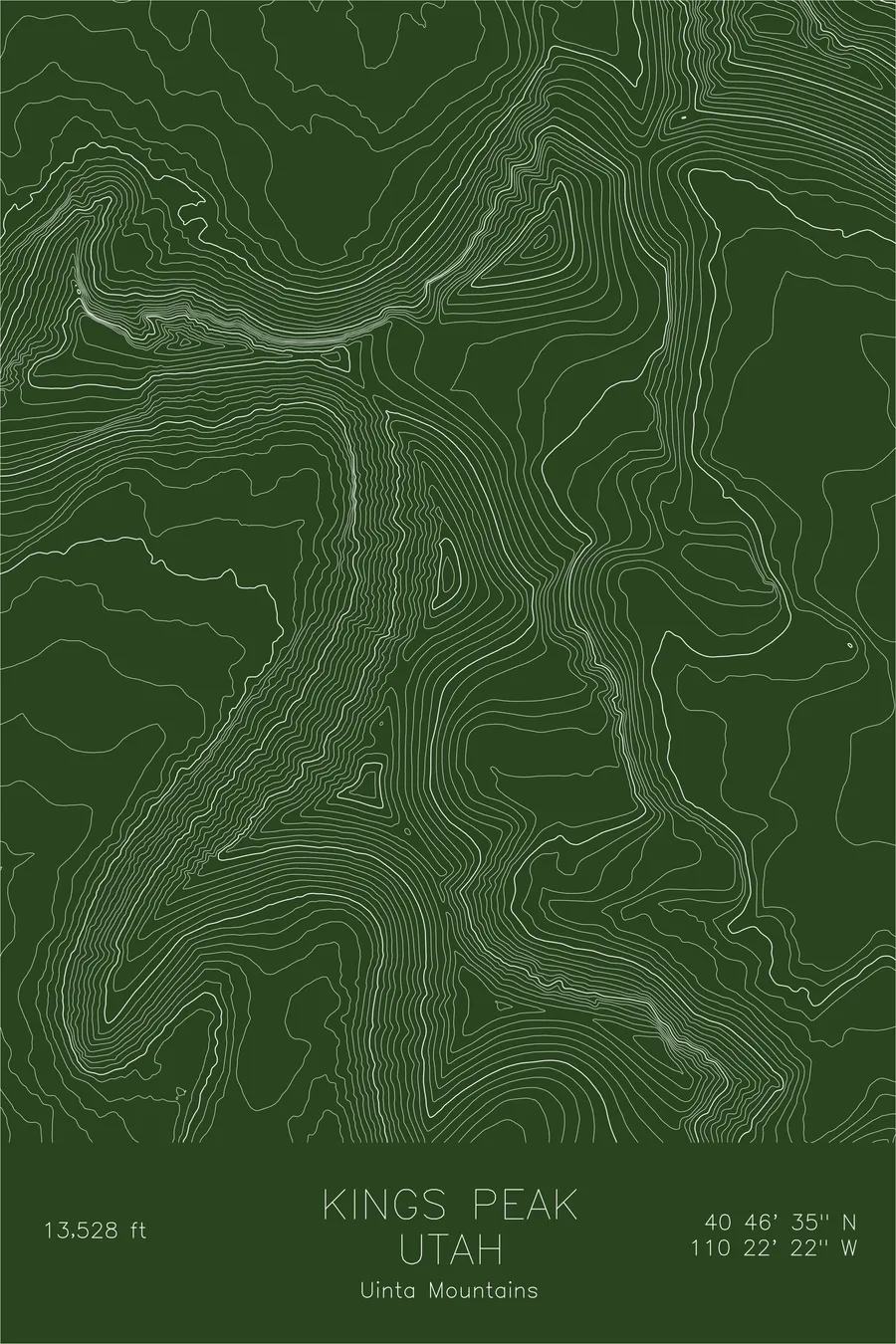
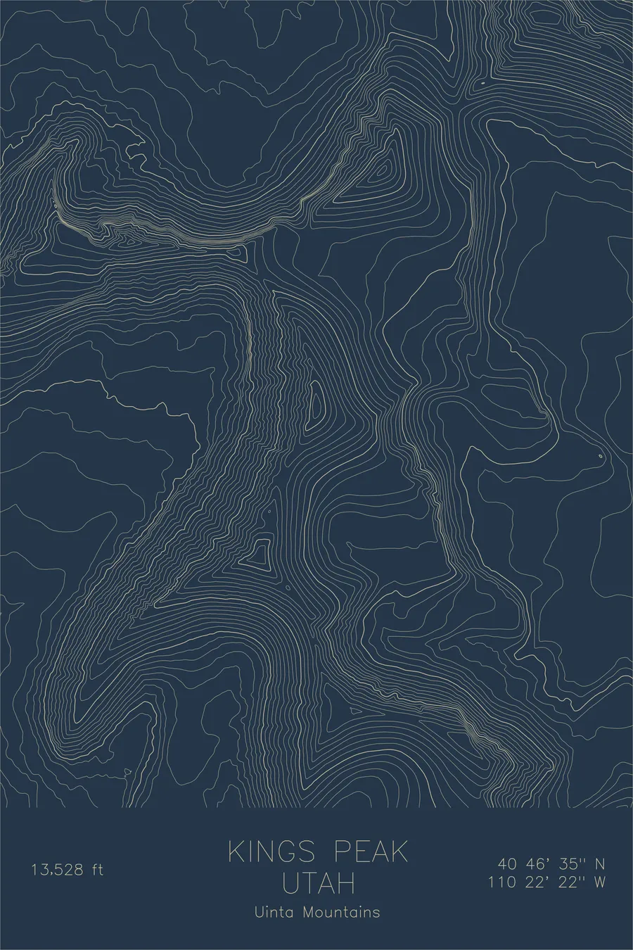
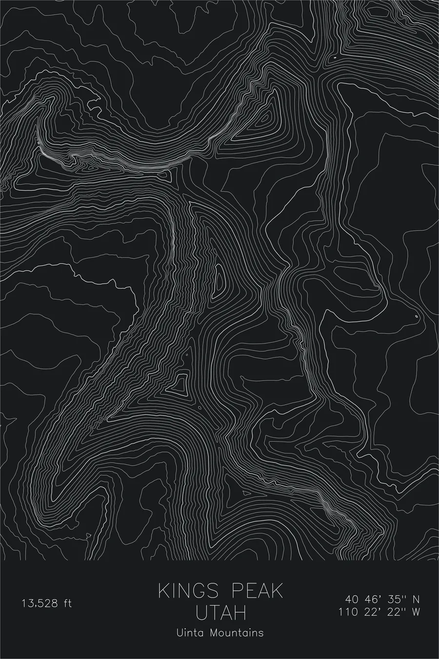
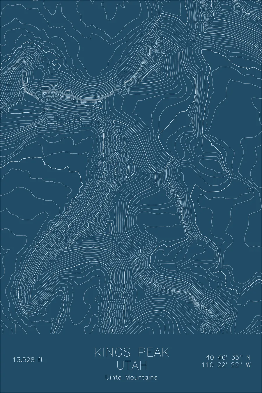
A pen-plotted topographic map of Kings Peak in the Uinta Mountains, Utah, drawn from real elevation contour data.
Highest point in Utah, atop the highest east-west mountain range in the Lower 48. 13,528 feet above sea level.
$54
Ink & paper: Blue
Size: 12×18"
+Personalize this map
+ Details
- 12 × 18 inches
- Drawn on 98 lb (160 gsm) archival cotton paper
- Precision technical pens and archival inks
- Signed and dated on the back
- Ships flat, protected, ready to frame
Each map begins with elevation data and is drawn by a pen plotter in our Vermont studio. Mechanical precision, plus the texture and small imperfections of real ink on paper.
Off the screen
In real rooms


+ About this map
Kings Peak reaches 13,528 feet in the heart of the Uinta Mountains, the highest point in Utah and the crown of the highest east-west running mountain range in the contiguous United States. The Uintas are an anomaly: a broad, flat-topped anticline of billion-year-old quartzite that runs perpendicular to every other range in the Rockies, creating a landscape of high plateaus, glacial basins, and long parallel ridges.
This map captures the distinctive east-west grain of the terrain. The contour lines trace the broad, rounded ridgeline that connects Kings Peak to its neighbors, while deep glacial cirques cut into the north face, creating the headwalls of Henry’s Fork Basin. The contrast between the gentle summit plateau and the steep cirque walls below tells the story of a landscape shaped by ice.
+ Map details
- Kings Peak
- Utah
- United States
- Uinta Mountains
- Rocky Mountains
- 13,528 ft / 4,125 m
- 40.7764N 110.3728W
- Mountain topographic map
- Original pen plot, archival ink on cotton paper
- 8 × 12 in · 12 × 18 in · 18 × 24 in
- Highest point in Utah, atop the highest east-west mountain range in the Lower 48
More maps