
Vermont / New York
Lake Champlain
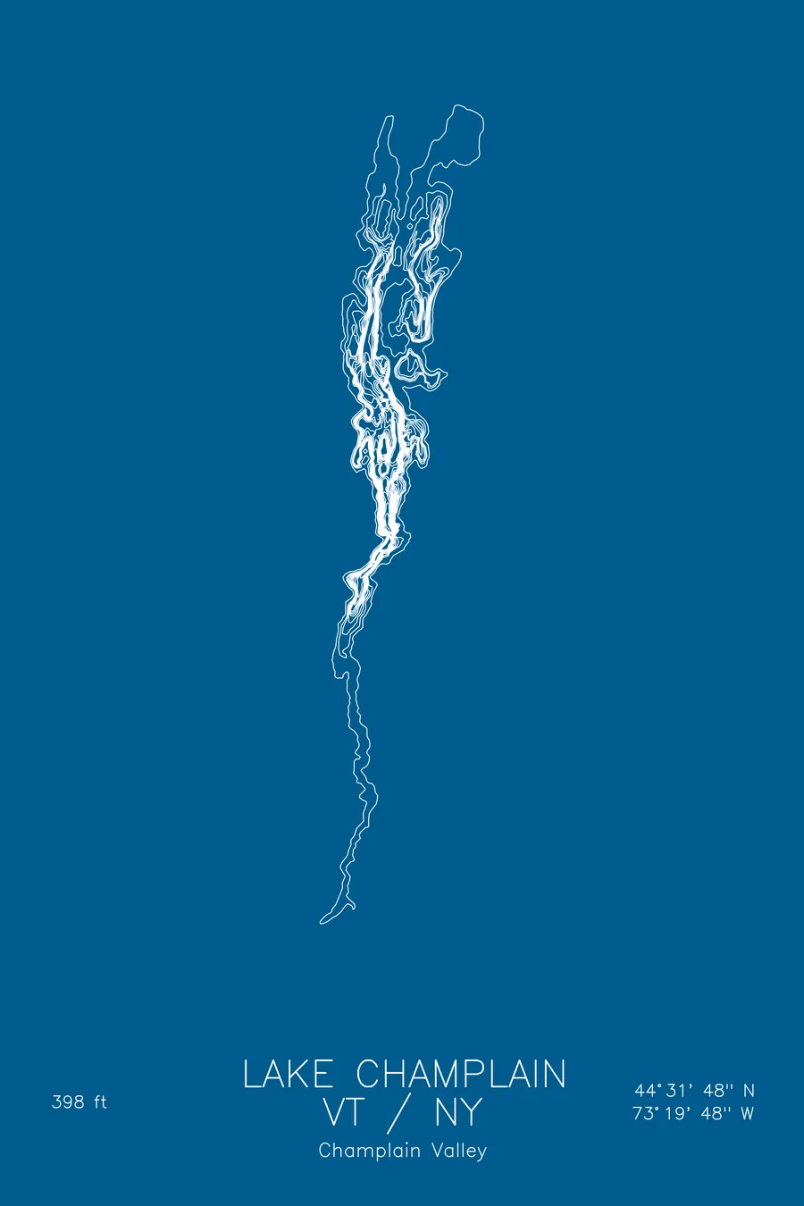
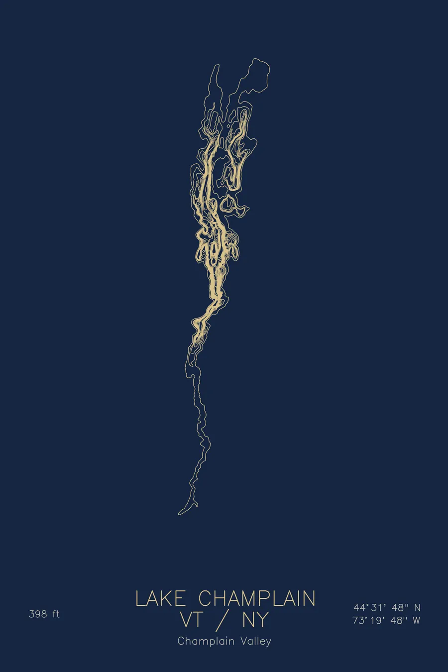
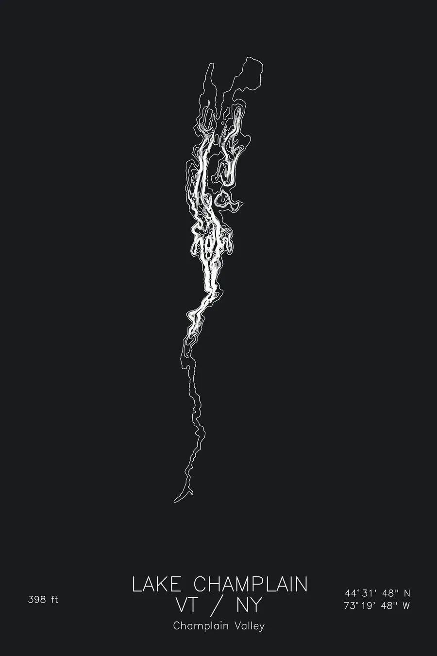
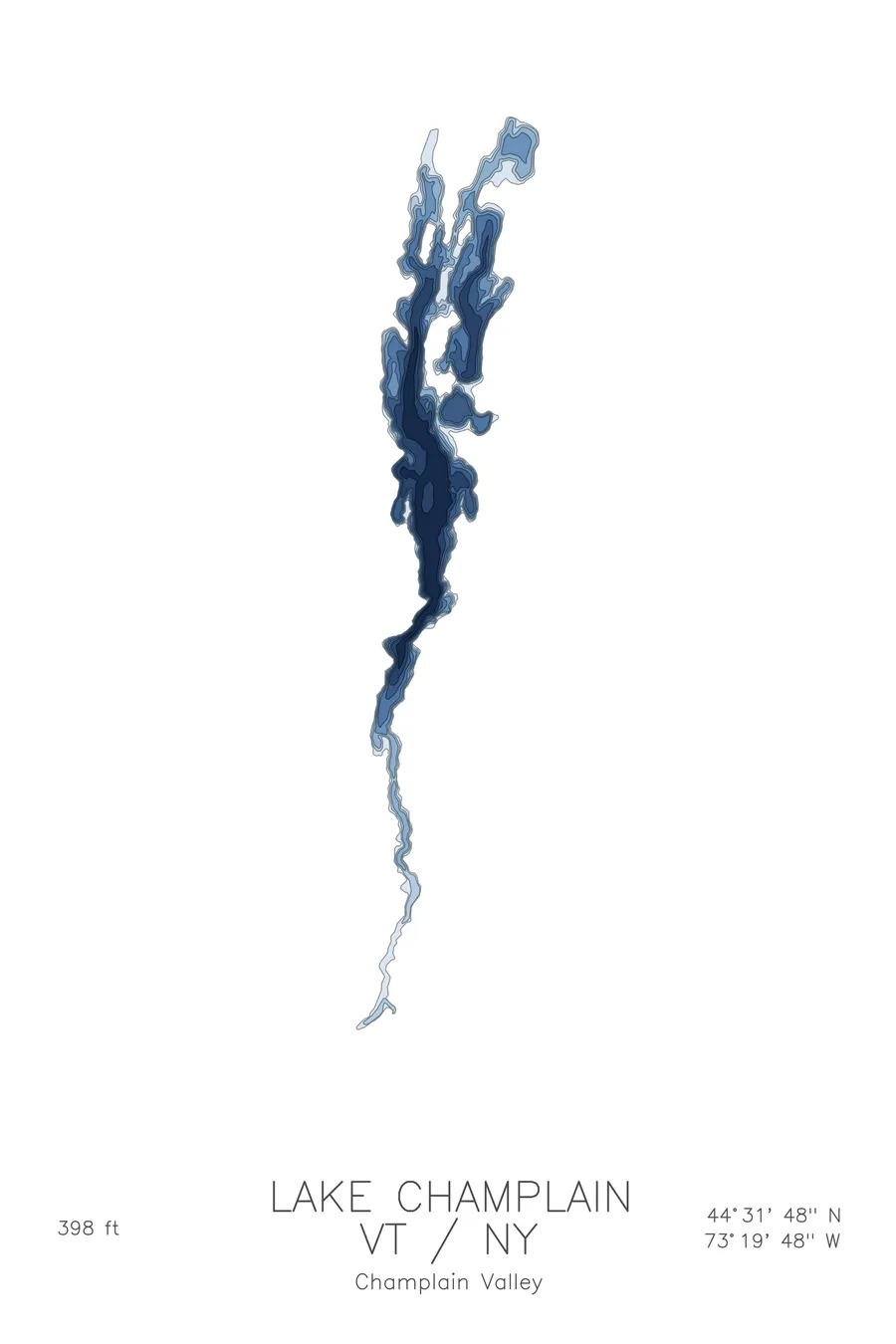
A bathymetric depth map of Lake Champlain, Vermont / New York, drawn from real lake survey data in a minimalist contour-line design.
Legally America's sixth Great Lake for 18 days in March 1998.
$50
Ink & paper: Lake Blue
Size: 12×18"
+Personalize this map
+ Details
- 12 × 18 inches
- Drawn on 98 lb (160 gsm) archival cotton paper
- Precision technical pens and archival inks
- Signed and dated on the back
- Ships flat, protected, ready to frame
Each map begins with elevation data and is drawn by a pen plotter in our Vermont studio. Mechanical precision, plus the texture and small imperfections of real ink on paper.
Off the screen
In real rooms


+ About this map
Lake Champlain was a Great Lake for 18 days. On March 6, 1998, President Clinton signed a Sea Grant reauthorization bill into which Vermont Senator Patrick Leahy had inserted a single line declaring it America’s sixth Great Lake, chiefly to unlock Sea Grant funding. Midwestern lawmakers objected, at volume, and the Senate stripped the designation on March 24. The lake kept the funding. It also kept its roughly 300 known shipwrecks, among them Benedict Arnold’s 1776 gunboat Spitfire, found in 1997 off Schuyler Island sitting upright on the bottom with its mast still standing and its bow gun in place.
The depth contours show a lake of many characters. The main lake holds a deep glacial trench, dropping to 398 feet off Split Rock Point, where the contours crowd against the New York shore. To the north the lines spread wide across the shallow, marshy sweep of Missisquoi Bay and the protected water inside the islands, while the narrow southern arm tapers toward Whitehall like a river. The map holds all of it in a single connected line work.
+ Map details
- Lake Champlain
- Vermont / New York
- United States
- New England
- 44.5300N 73.3300W
- Lake bathymetric depth map
- Original pen plot, archival ink on cotton paper
- 8 × 12 in · 12 × 18 in · 18 × 24 in
- Max depth 398 ft
More maps