
Vermont
Lake Dunmore
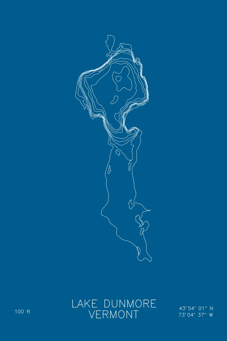
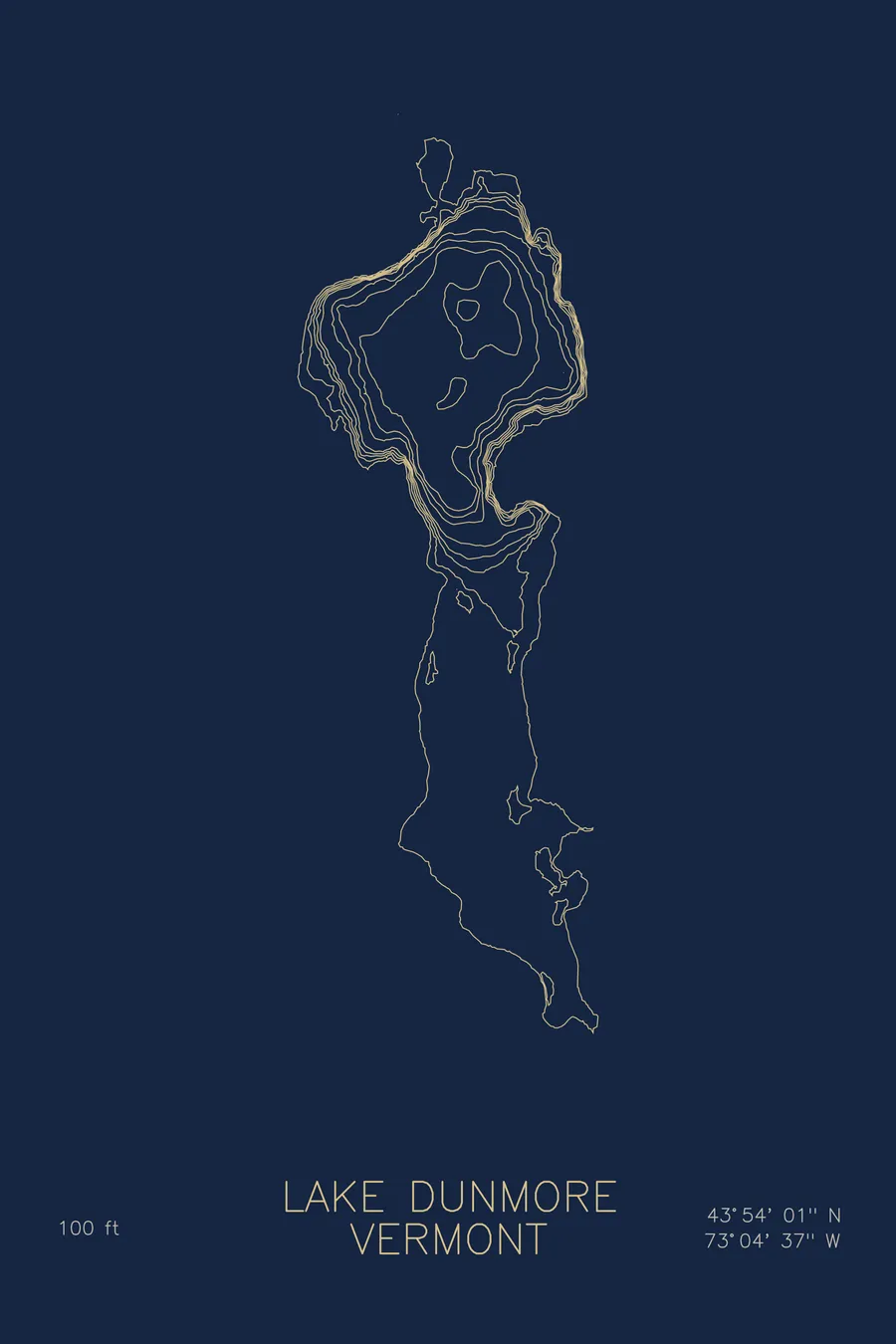
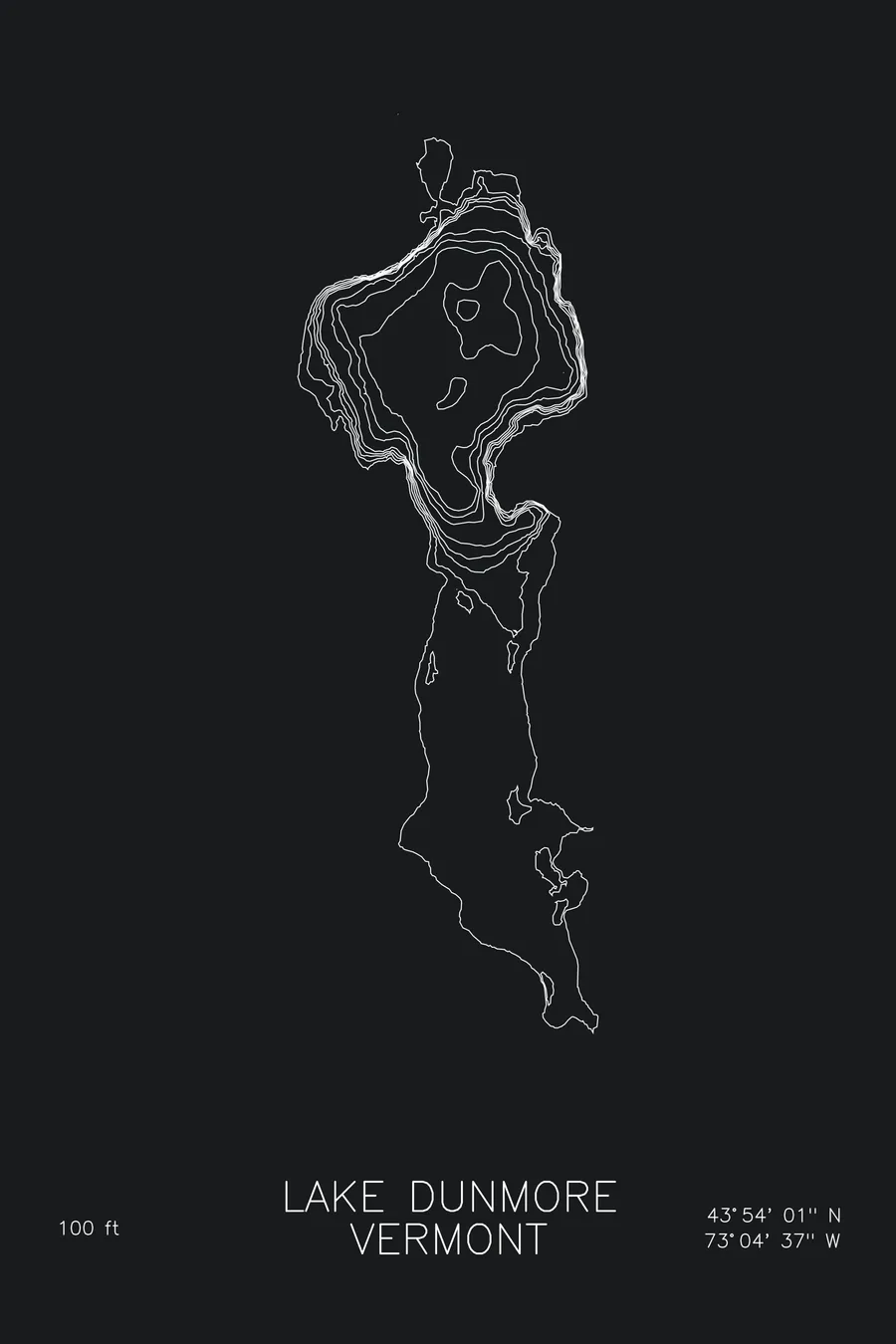
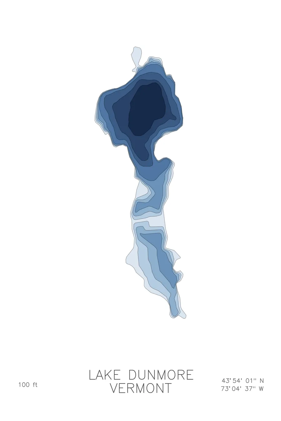
A bathymetric depth map of Lake Dunmore, Vermont, drawn from real lake survey data in a minimalist contour-line design.
Max depth 100 ft.
$50
Ink & paper: Lake Blue
Size: 12×18"
+Personalize this map
+ Details
- 12 × 18 inches
- Drawn on 98 lb (160 gsm) archival cotton paper
- Precision technical pens and archival inks
- Signed and dated on the back
- Ships flat, protected, ready to frame
Each map begins with elevation data and is drawn by a pen plotter in our Vermont studio. Mechanical precision, plus the texture and small imperfections of real ink on paper.
Off the screen
In real rooms


+ About this map
Lake Dunmore sits at the western foot of the Green Mountains in Salisbury, Vermont, a glacial lake beneath the wooded slopes of the Moosalamoo country. Branbury State Park’s beach anchors the eastern shore, trails climb from the water toward Silver Lake and the Falls of Lana, and camps and cottages have ringed the lake for generations.
The depth contours show a lake deeper than its modest size suggests. The main basin drops to 100 feet, with the lines drawing close along the mountain side where the slope simply keeps going underwater. Toward the shallower ends the contours spread into easy, wide-set rings around the swimming beaches and coves. The map catches the character of the place: a small Vermont lake with a genuinely deep, cold heart.
+ Map details
- Lake Dunmore
- Vermont
- United States
- New England
- 43.9002N 73.0768W
- Lake bathymetric depth map
- Original pen plot, archival ink on cotton paper
- 8 × 12 in · 12 × 18 in · 18 × 24 in
- Max depth 100 ft
More maps