
Vermont
Lake Iroquois
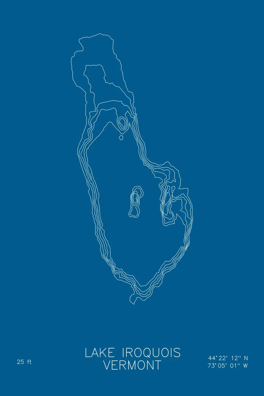
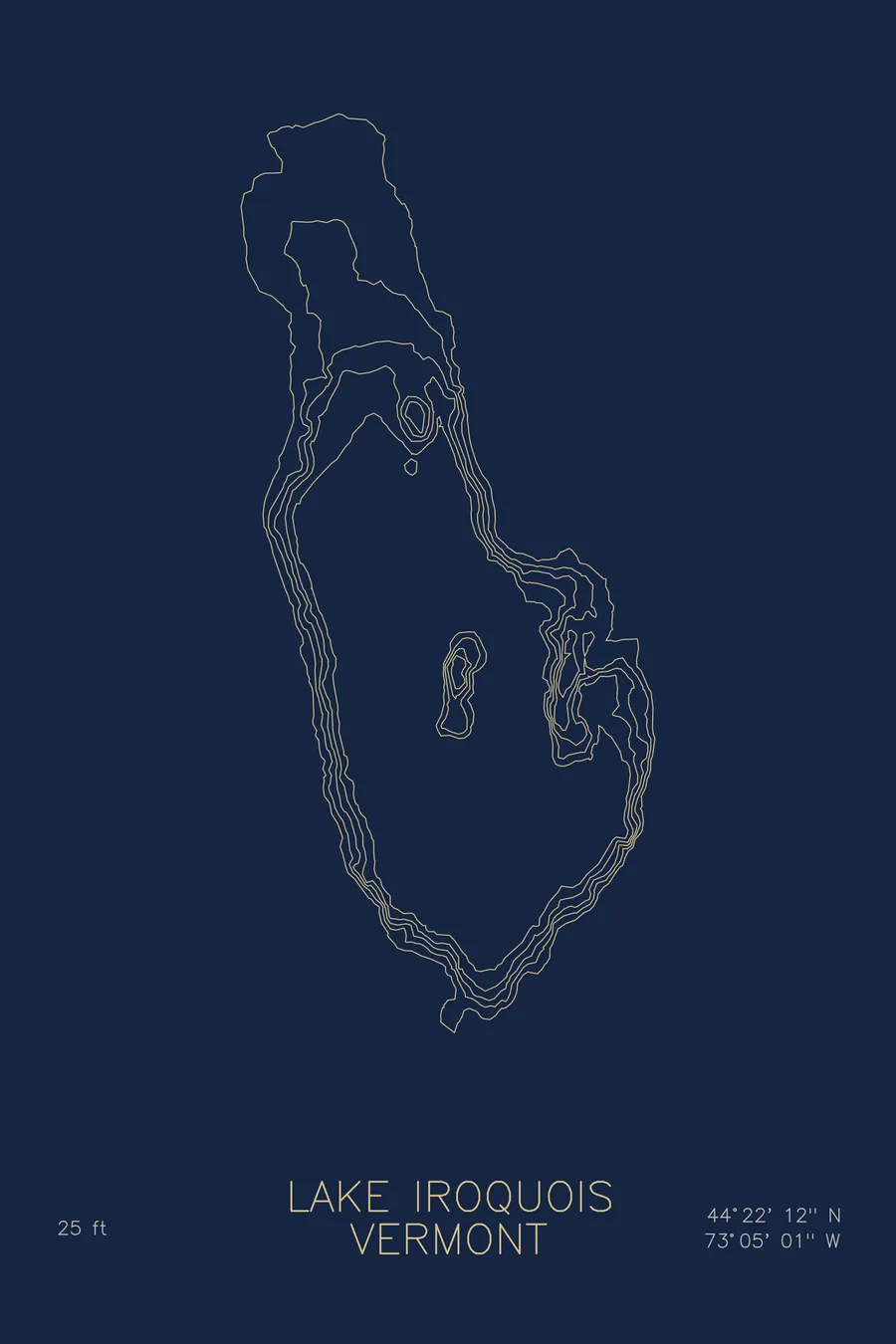
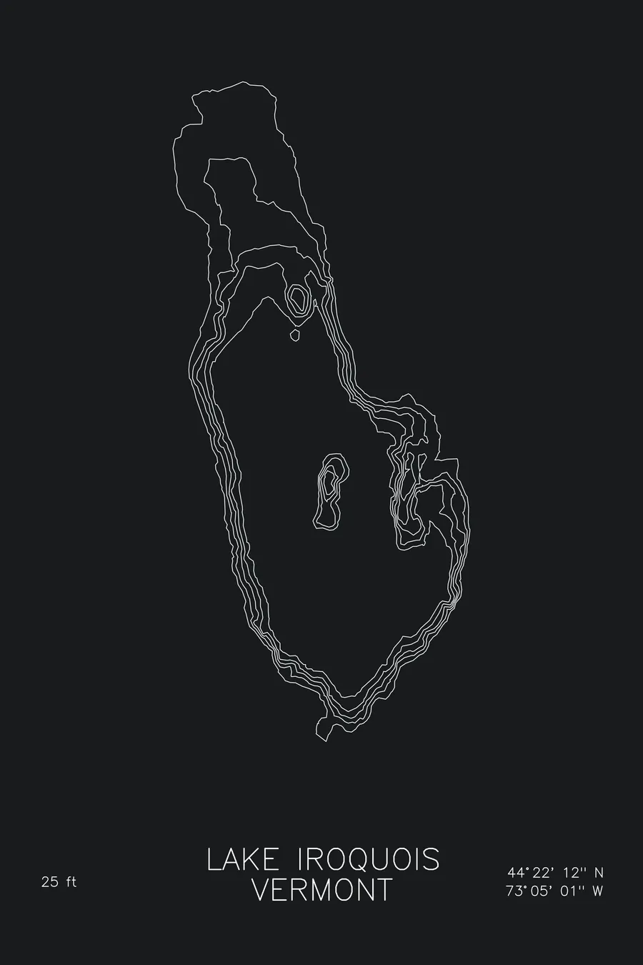
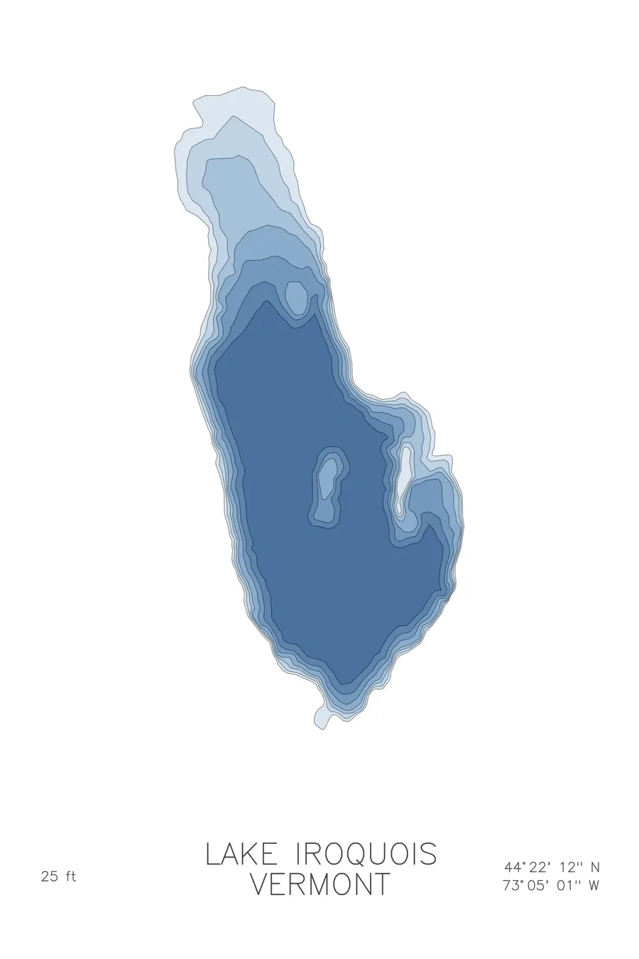
A bathymetric depth map of Lake Iroquois, Vermont, drawn from real lake survey data in a minimalist contour-line design.
Max depth 25 ft.
$50
Ink & paper: Lake Blue
Size: 12×18"
+Personalize this map
+ Details
- 12 × 18 inches
- Drawn on 98 lb (160 gsm) archival cotton paper
- Precision technical pens and archival inks
- Signed and dated on the back
- Ships flat, protected, ready to frame
Each map begins with elevation data and is drawn by a pen plotter in our Vermont studio. Mechanical precision, plus the texture and small imperfections of real ink on paper.
Off the screen
In real rooms


+ About this map
Lake Iroquois is a small glacial lake in the rolling hills between Hinesburg and Williston, Vermont, a short drive from Burlington. It is a neighborly piece of water: a town beach, a boat launch, camps tucked into the trees, and enough room for a slow lap by kayak on a summer morning.
The depth contours keep the same modest scale. The basin reaches about 25 feet at its deepest, and the lines move outward from that center in gentle, widely spaced rings, easing into shallow weedy margins along the shore. The map is quiet, and that is the point: an honest portrait of a small Vermont lake, the kind people remember for the summers spent on it.
+ Map details
- Lake Iroquois
- Vermont
- United States
- New England
- 44.3701N 73.0837W
- Lake bathymetric depth map
- Original pen plot, archival ink on cotton paper
- 8 × 12 in · 12 × 18 in · 18 × 24 in
- Max depth 25 ft
More maps