
Vermont
Lake Morey
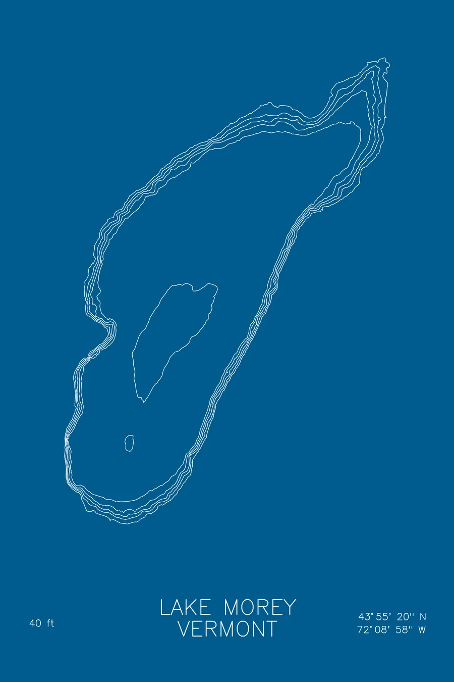
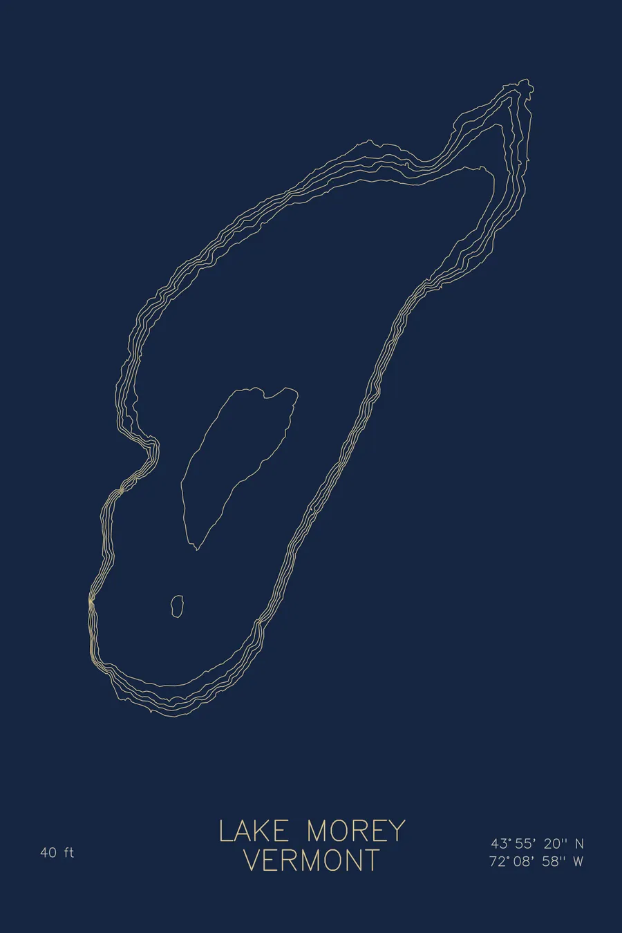
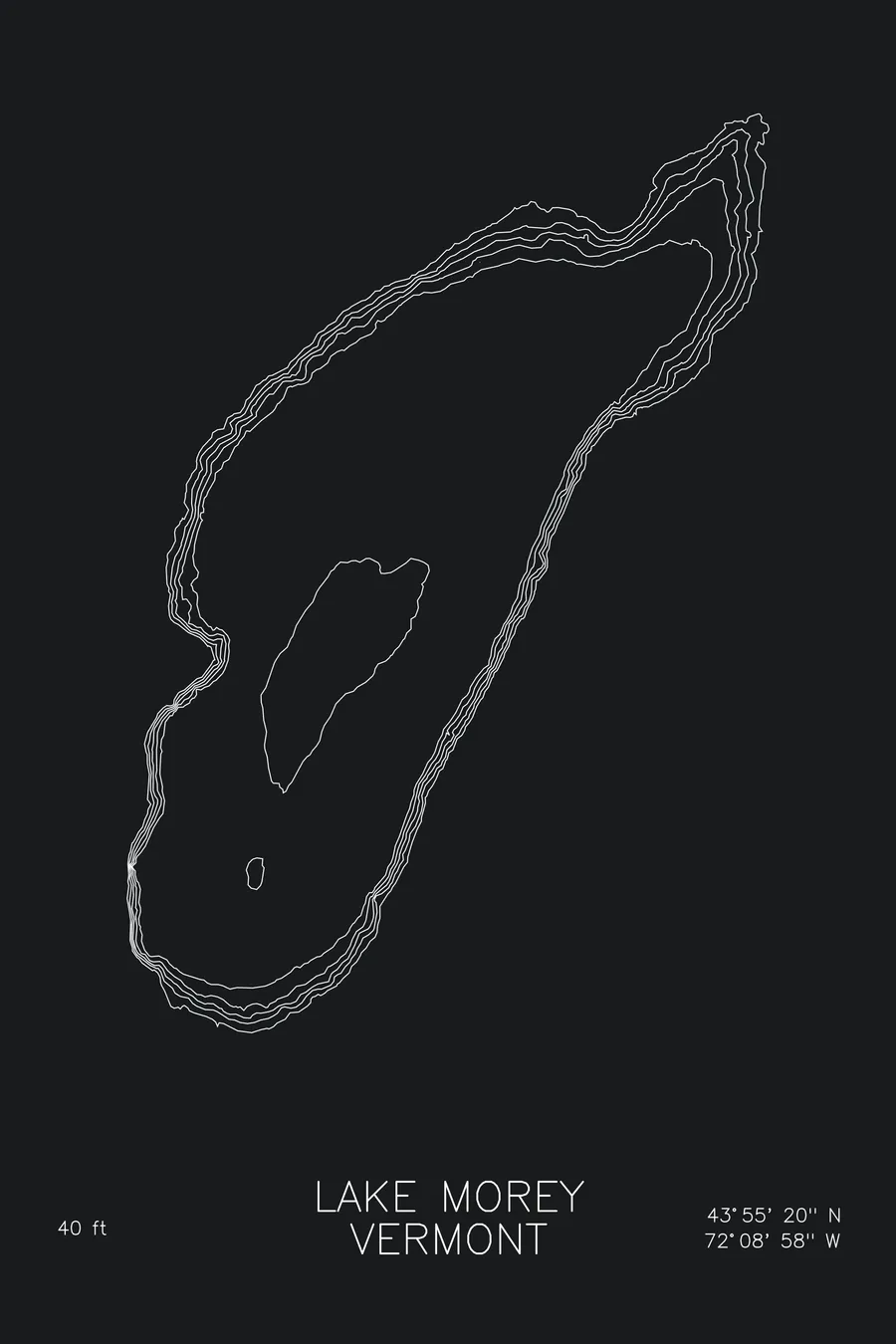
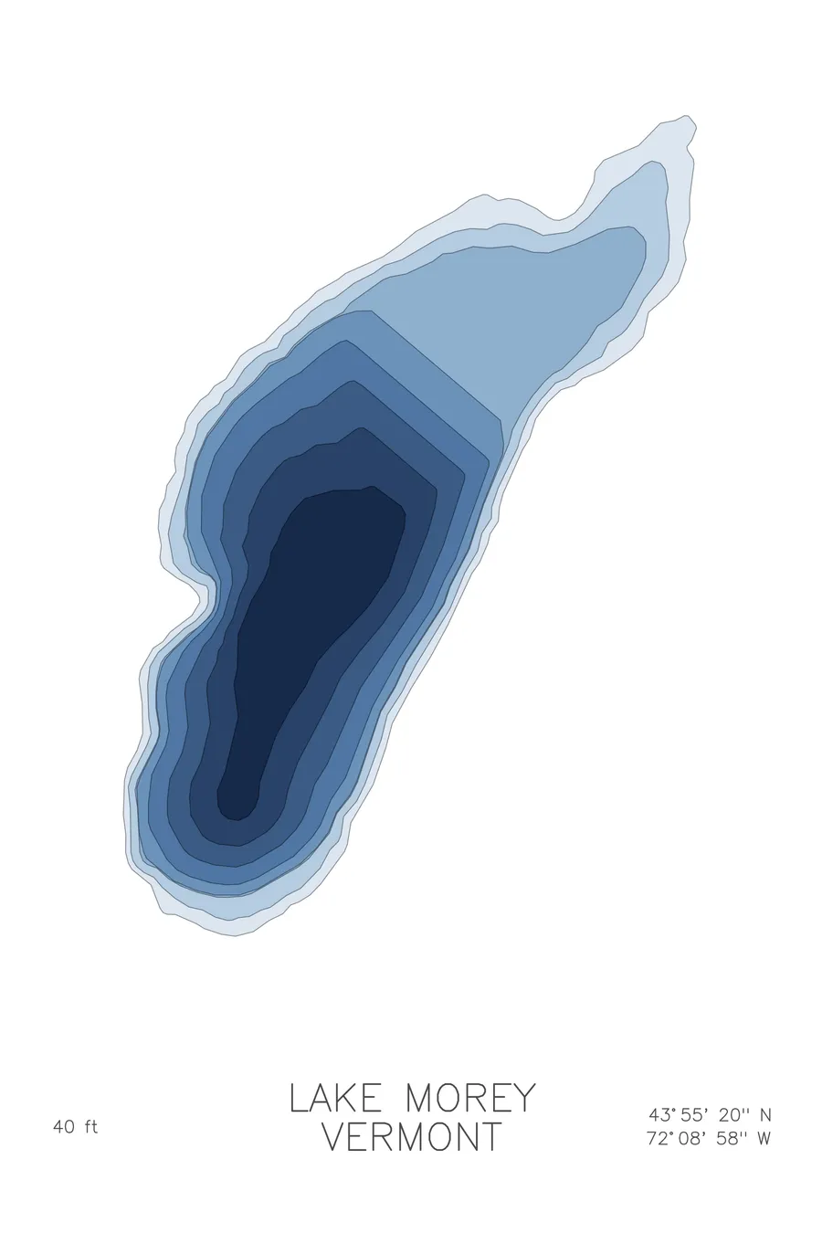
A bathymetric depth map of Lake Morey, Vermont, drawn from real lake survey data in a minimalist contour-line design.
Max depth 40 ft.
$50
Ink & paper: Lake Blue
Size: 12×18"
+Personalize this map
+ Details
- 12 × 18 inches
- Drawn on 98 lb (160 gsm) archival cotton paper
- Precision technical pens and archival inks
- Signed and dated on the back
- Ships flat, protected, ready to frame
Each map begins with elevation data and is drawn by a pen plotter in our Vermont studio. Mechanical precision, plus the texture and small imperfections of real ink on paper.
Off the screen
In real rooms


+ About this map
Lake Morey lies in a bowl of hills above the Connecticut River in Fairlee, Vermont. It is named for Samuel Morey, the local inventor who ran an early steamboat on these waters in the 1790s, and it remains a classic Vermont resort lake: a resort on one shore, camps around the rest, and a groomed skating trail that circles the entire lake each winter.
The depth contours describe a gentle, rounded basin. The lines settle into easy concentric rings toward a modest deep spot of 40 feet near the lake’s middle, with broad shallows running out from the shoreline on every side. There are no drop-offs or drowned canyons here, and the map is honest about that: an even, calm piece of water, drawn in the same unhurried rhythm the lake itself keeps.
+ Map details
- Lake Morey
- Vermont
- United States
- New England
- 43.9223N 72.1495W
- Lake bathymetric depth map
- Original pen plot, archival ink on cotton paper
- 8 × 12 in · 12 × 18 in · 18 × 24 in
- Max depth 40 ft
More maps