



Texas
Lake Travis
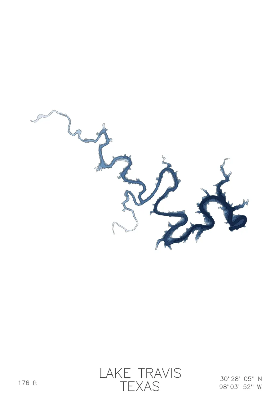
A bathymetric depth map of Lake Travis, Texas, drawn from real lake survey data in a minimalist contour-line design.
Max depth 176 ft.
$50
Ink & paper: Lake Blue
Size: 12×18"
+Personalize this map
+ Details
- 12 × 18 inches
- Drawn on 98 lb (160 gsm) archival cotton paper
- Precision technical pens and archival inks
- Signed and dated on the back
- Ships flat, protected, ready to frame
Each map begins with elevation data and is drawn by a pen plotter in our Vermont studio. Mechanical precision, plus the texture and small imperfections of real ink on paper.
Off the screen
In real rooms


+ About this map
Lake Travis is a long, winding reservoir on the Colorado River of Texas, held back by Mansfield Dam just west of Austin. Completed in the early 1940s for flood control and water supply, it snakes for dozens of miles through Hill Country limestone, its level rising and falling dramatically with drought and flood. At 176 feet it is the deepest of the Highland Lakes.
The depth contours follow the drowned river canyon for the lake’s entire length, a dark channel winding between steep banks. The map shows side canyons branching off as narrow coves, contour lines stacked tight where limestone bluffs continue straight down below the waterline, and the deepest basin pooled against Mansfield Dam. The contours make plain what the lake actually is.
+ Map details
- Lake Travis
- Texas
- United States
- Texas Hill Country
- 30.4679N 98.0645W
- Lake bathymetric depth map
- Original pen plot, archival ink on cotton paper
- 8 × 12 in · 12 × 18 in · 18 × 24 in
- Max depth 176 ft
More maps