
Minnesota
Lake Vermilion
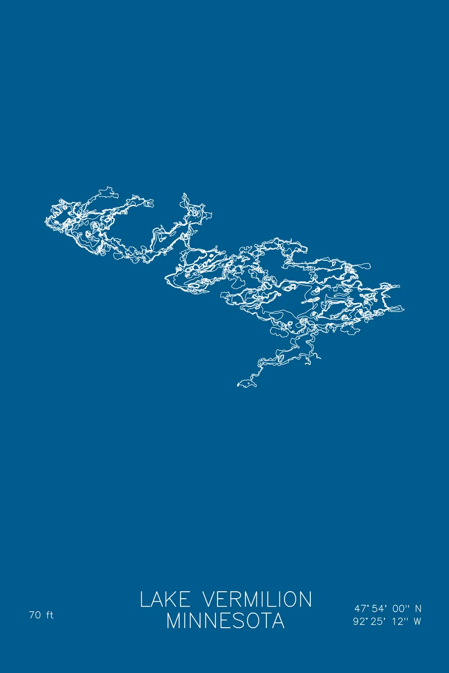
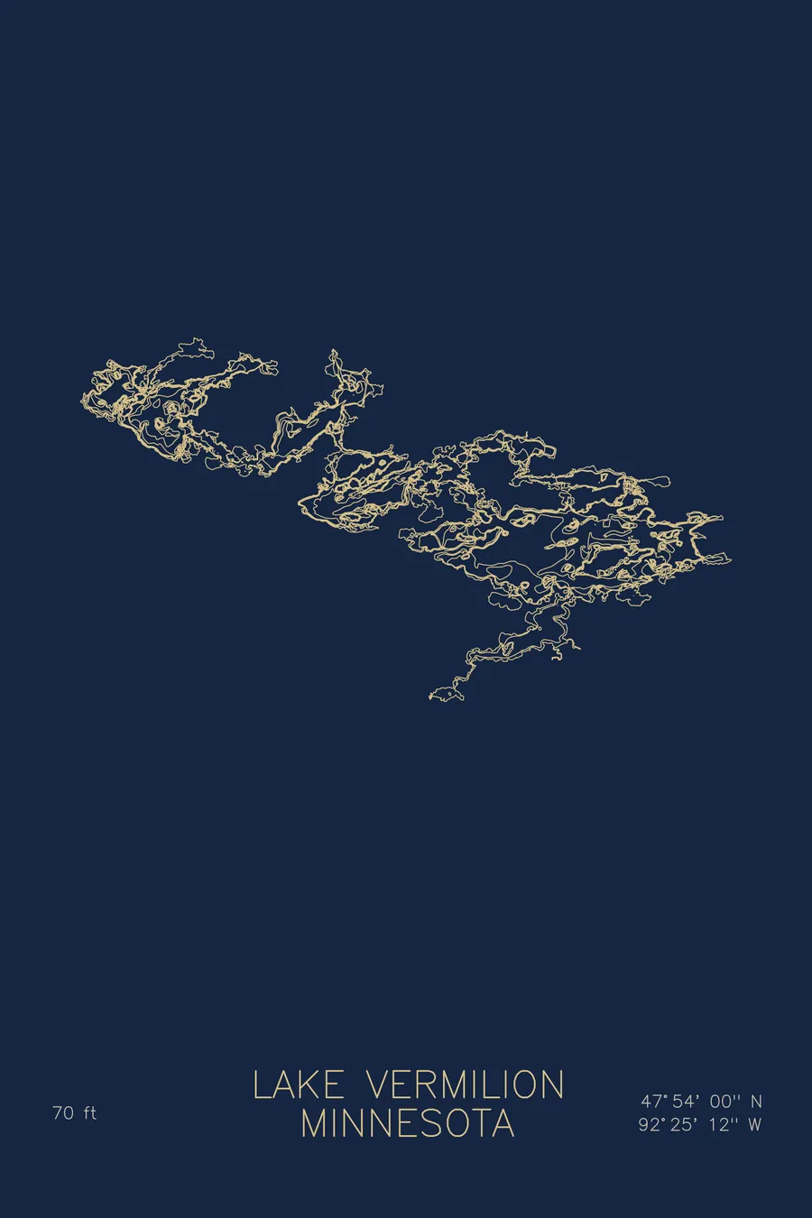
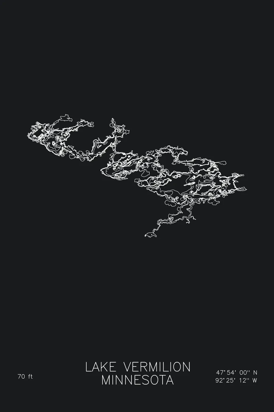
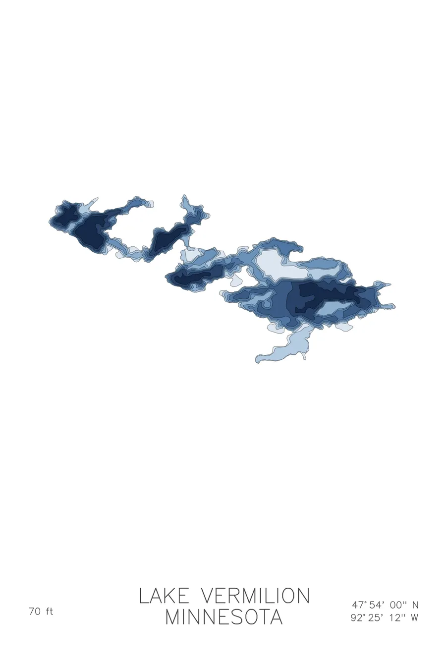
A bathymetric depth map of Lake Vermilion, Minnesota, drawn from real lake survey data in a minimalist contour-line design.
Max depth 70 ft.
$50
Ink & paper: Lake Blue
Size: 12×18"
+Personalize this map
+ Details
- 12 × 18 inches
- Drawn on 98 lb (160 gsm) archival cotton paper
- Precision technical pens and archival inks
- Signed and dated on the back
- Ships flat, protected, ready to frame
Each map begins with elevation data and is drawn by a pen plotter in our Vermont studio. Mechanical precision, plus the texture and small imperfections of real ink on paper.
Off the screen
In real rooms


+ About this map
Lake Vermilion stretches nearly 40 miles across northeastern Minnesota between Tower and Cook, on the edge of the Boundary Waters country. Carved into the bedrock of the Canadian Shield, it holds hundreds of islands and one of the most convoluted shorelines of any lake in the state, over 300 miles of rock, pine, and hidden bays.
The depth contours are as intricate as the shoreline. The lines weave among islands and reefs, pinch into narrow channels between basins, and open into bays that each carry their own depths, with the deepest water reaching about 70 feet. There is no single bowl here; the map shows a labyrinth, a lake that rewards a lifetime of learning its water. Few lakes anywhere plot like Vermilion.
+ Map details
- Lake Vermilion
- Minnesota
- United States
- Upper Midwest
- 47.9000N 92.4200W
- Lake bathymetric depth map
- Original pen plot, archival ink on cotton paper
- 8 × 12 in · 12 × 18 in · 18 × 24 in
- Max depth 70 ft
More maps