California
Mammoth Mountain
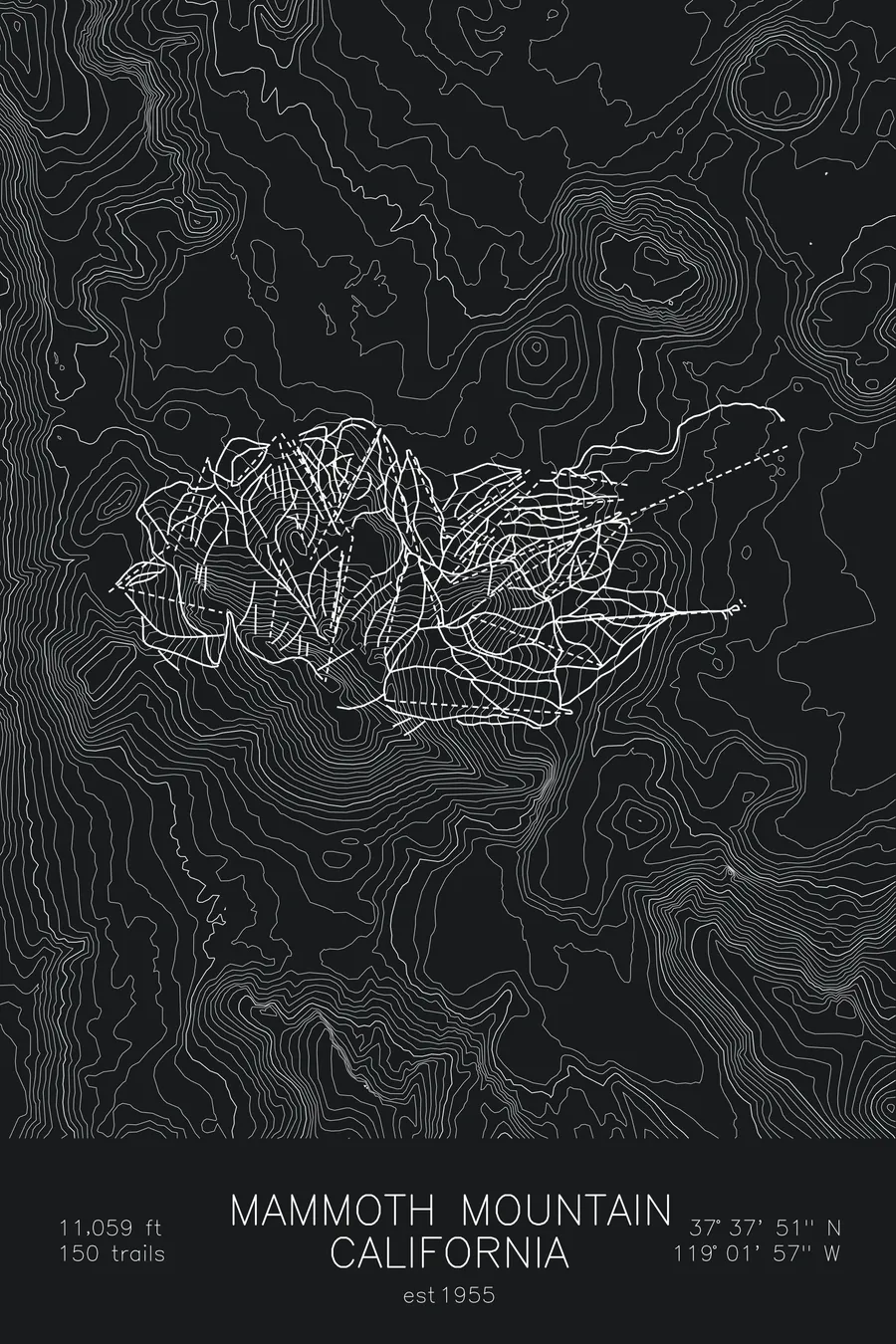
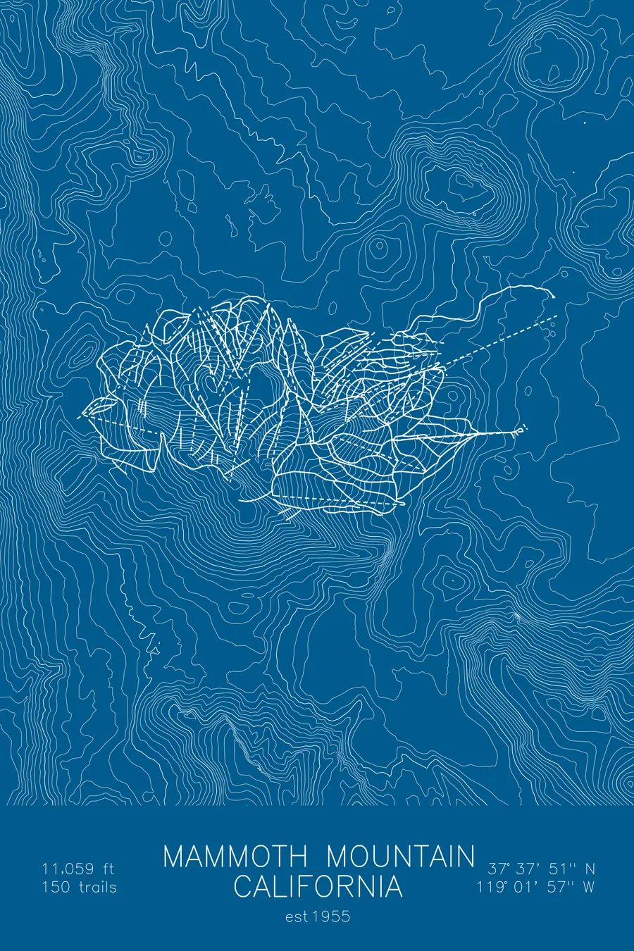
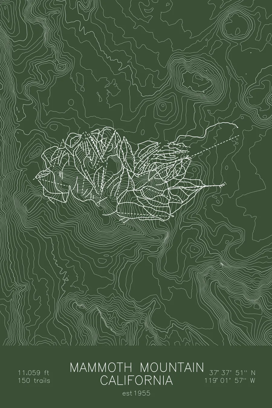
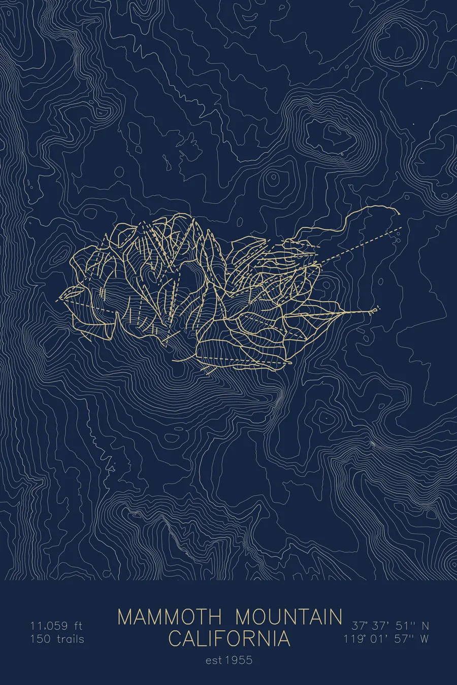
A topographic ski map of Mammoth Mountain, California, with the resort's runs and lifts drawn over real terrain in a minimalist contour-line design.
Scouted by a hydrographer whose job for the Los Angeles water department required skiing the Sierra daily.
$63
Ink & paper: Arctic White
Size: 12×18"
+Personalize this map
+ Details
- 12 × 18 inches
- Drawn on 98 lb (160 gsm) archival cotton paper
- Precision technical pens and archival inks
- Signed and dated on the back
- Ships flat, protected, ready to frame
Each map begins with elevation data and is drawn by a pen plotter in our Vermont studio. Mechanical precision, plus the texture and small imperfections of real ink on paper.
Off the screen
In real rooms


+ About this map
Dave McCoy found Mammoth Mountain because Los Angeles was paying him to ski. His job as a hydrographer for the city’s Department of Water and Power required him to ski daily, measuring Sierra snowpack, which is how he identified Mammoth as a ski site. He strung his first rope tow on nearby McGee Mountain in 1938, founded the Mammoth Mountain ski area in 1942, ran it for more than six decades, and died in 2020 at age 104. The mountain he chose is a dormant volcano and California’s highest ski area, its lift-served summit topping 11,000 feet in the eastern Sierra Nevada.
Massive Sierra snowfall and all that altitude give Mammoth one of the longest seasons anywhere; in big years the lifts spin into summer. With 3,500 acres it’s the largest ski area in the state, sitting above the town of Mammoth Lakes with the Minarets jagged on the western skyline. The contour map captures the volcano’s sweeping symmetry against the sharper Sierra crest beyond.
+ Map details
- Mammoth Mountain
- California
- United States
- California
- 11,059 ft / 3,371 m
- 37.6308N 119.0325W
- Ski resort trail map
- Original pen plot, archival ink on cotton paper
- 8 × 12 in · 12 × 18 in · 18 × 24 in
- Est. 1955. 180 trails
More maps