Colorado
Maroon Bells
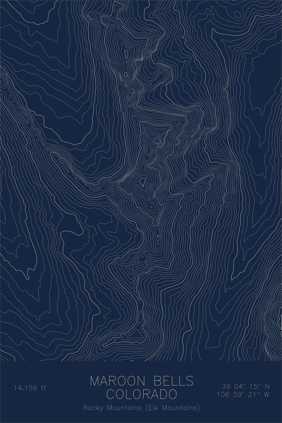
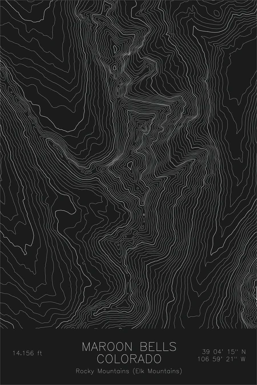
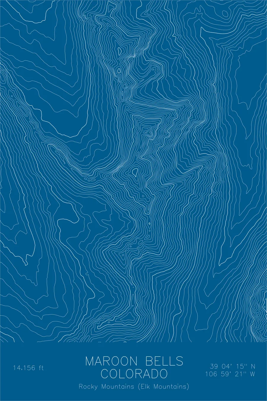
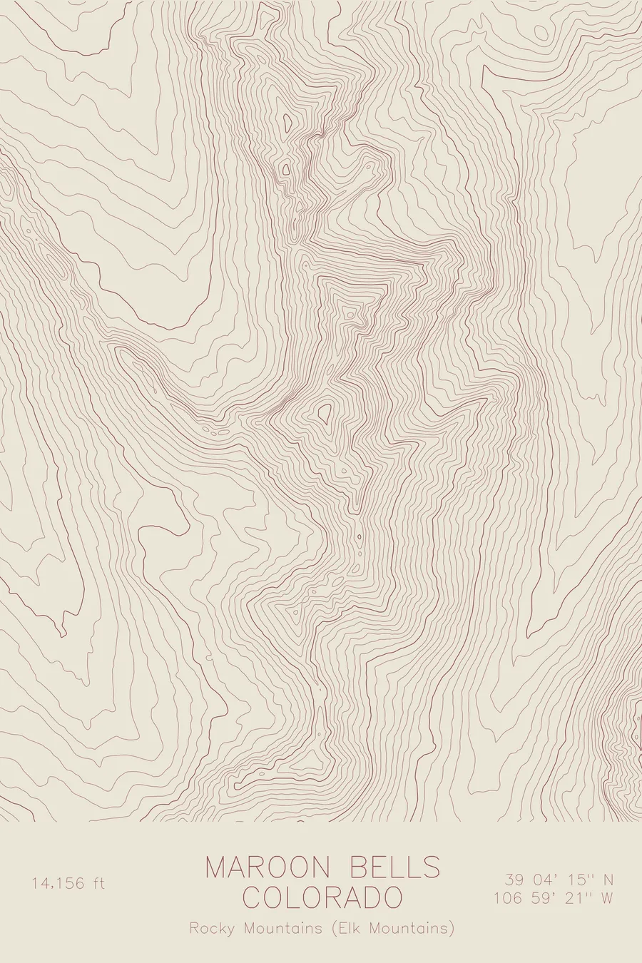
A pen-plotted topographic map of Maroon Bells in the Elk Mountains, Colorado, drawn from real elevation contour data.
The most photographed peaks in Colorado: twin fourteeners of ancient red mudstone. 14,163 feet above sea level.
$54
Ink & paper: Green
Size: 12×18"
+Personalize this map
+ Details
- 12 × 18 inches
- Drawn on 98 lb (160 gsm) archival cotton paper
- Precision technical pens and archival inks
- Signed and dated on the back
- Ships flat, protected, ready to frame
Each map begins with elevation data and is drawn by a pen plotter in our Vermont studio. Mechanical precision, plus the texture and small imperfections of real ink on paper.
Off the screen
In real rooms


+ About this map
The Maroon Bells are twin fourteeners: Maroon Peak at 14,163 feet and North Maroon at 14,014, rising side by side above Maroon Lake in Colorado’s Elk Mountains. Their distinctive pyramidal forms and deep red mudstone faces make them the most photographed mountains in the state, and among the most dangerous to climb. The crumbling sedimentary rock has earned them the nickname “Deadly Bells.”
This map traces the full topographic profile of both peaks and the ridge that connects them. The contour lines reveal the steep couloirs that score each face, the hanging cirques between the summits, and the dramatic U-shaped valley carved by glaciers that now holds Maroon Lake. Two peaks, one connected landscape, rendered in precise detail.
+ Map details
- Maroon Bells
- Colorado
- United States
- Elk Mountains
- Rocky Mountains
- 14,163 ft / 4,315 m
- 39.0708N 106.9891W
- Mountain topographic map
- Original pen plot, archival ink on cotton paper
- 8 × 12 in · 12 × 18 in · 18 × 24 in
- The most photographed peaks in Colorado: twin fourteeners of ancient red mudstone
More maps