France / Italy
Mont Blanc
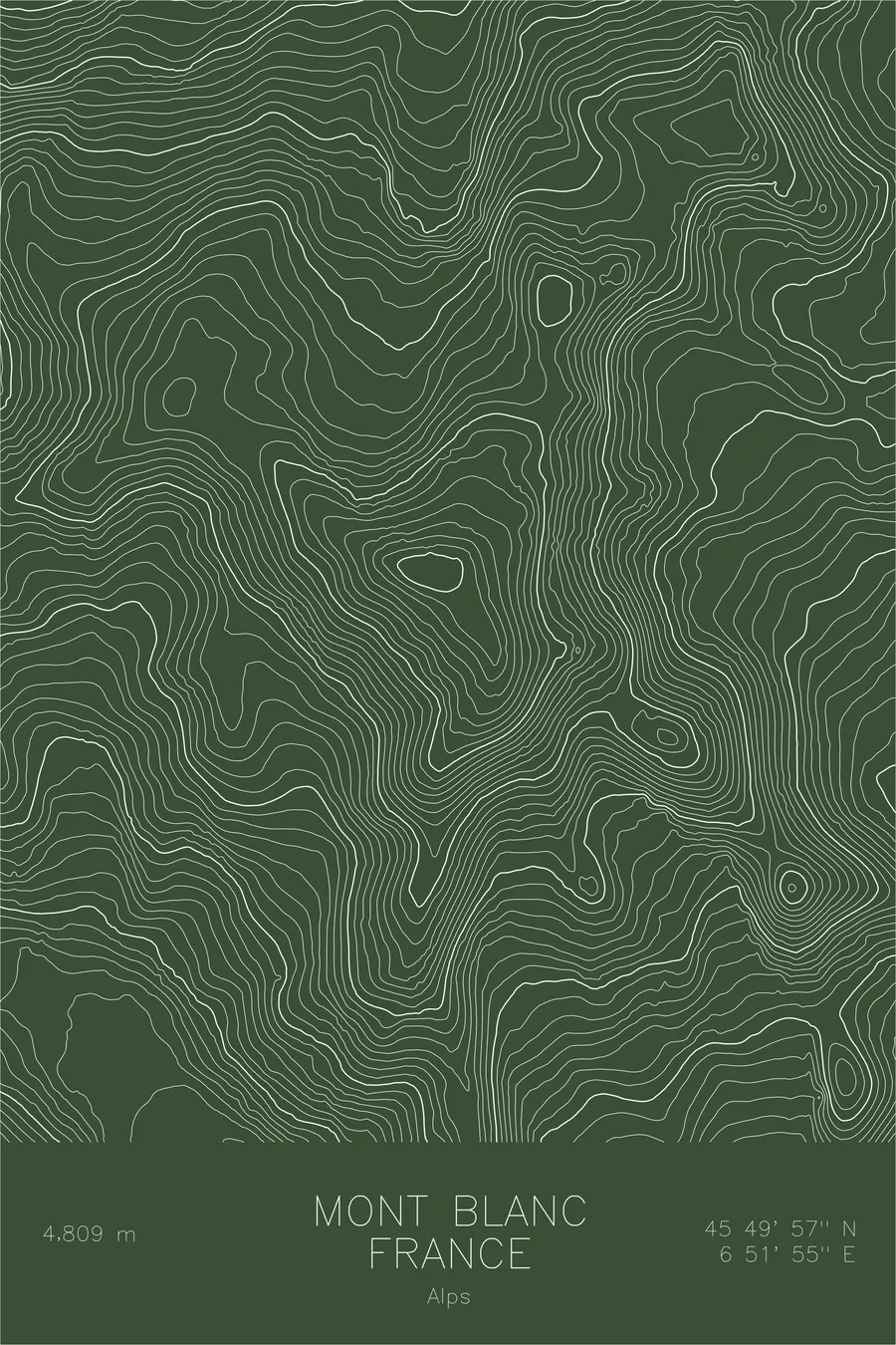
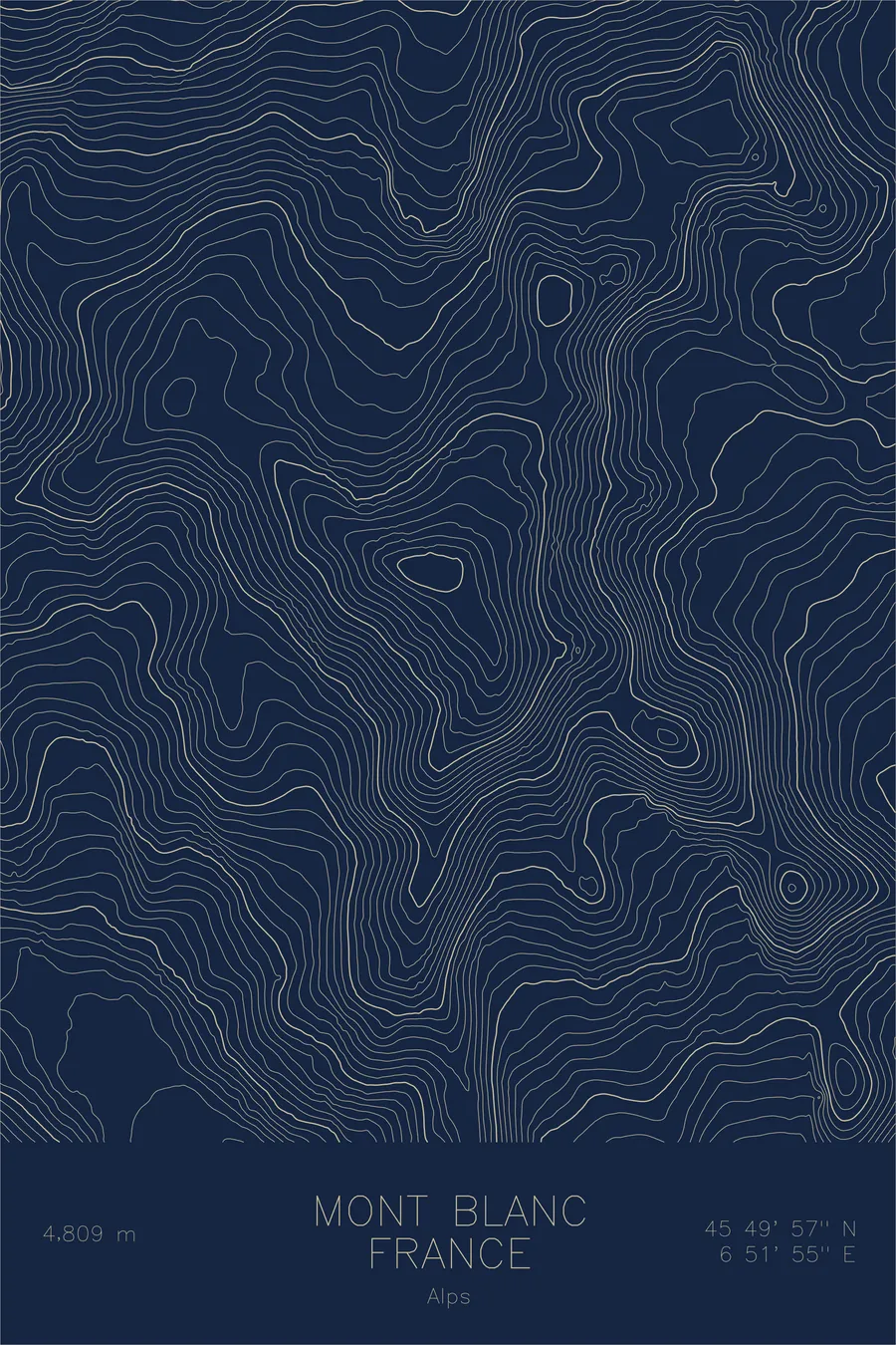
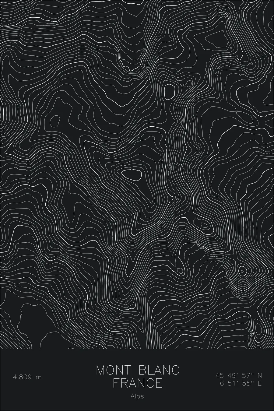
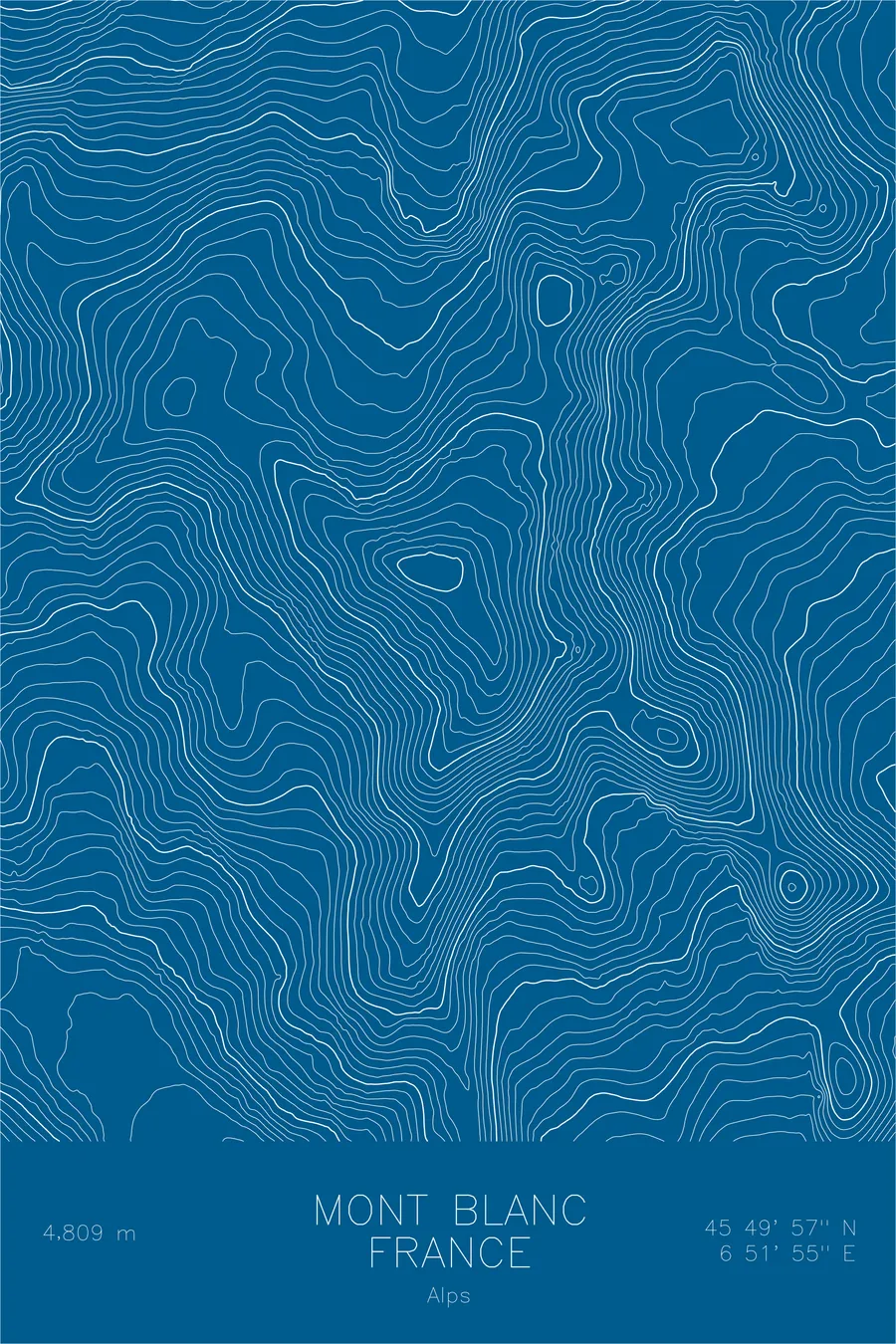
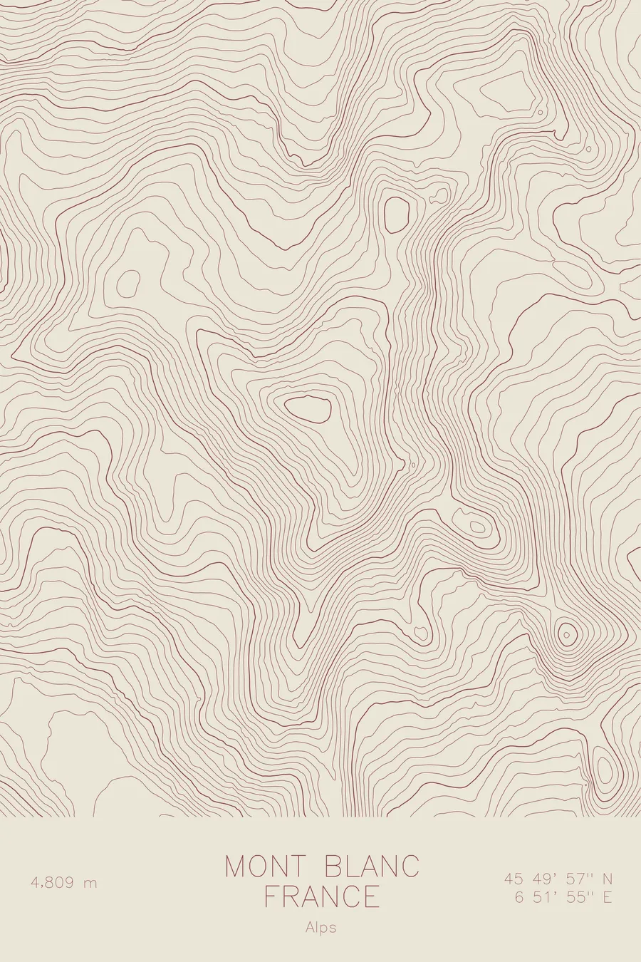
A pen-plotted topographic map of Mont Blanc in the Graian Alps, France / Italy, drawn from real elevation contour data.
The highest peak in Western Europe and the birthplace of modern mountaineering. 15,774 feet above sea level.
$54
Ink & paper: Blue
Size: 12×18"
+Personalize this map
+ Details
- 12 × 18 inches
- Drawn on 98 lb (160 gsm) archival cotton paper
- Precision technical pens and archival inks
- Signed and dated on the back
- Ships flat, protected, ready to frame
Each map begins with elevation data and is drawn by a pen plotter in our Vermont studio. Mechanical precision, plus the texture and small imperfections of real ink on paper.
Off the screen
In real rooms


+ About this map
Mont Blanc stands at 15,774 feet on the border of France and Italy, the highest point in Western Europe. Its first ascent in 1786 is widely considered the birth of mountaineering as a pursuit. Today it draws more than 20,000 summit attempts each year via the Gouter Route, making it one of the most climbed major peaks in the world. The mountain anchors the Mont Blanc massif, a compact range of granite aiguilles, glaciers, and snowfields that defines the landscape above Chamonix.
This map traces the massive glacial terrain that radiates from the summit dome. The Mer de Glace, the longest glacier in France, carves a sweeping arc down the north side. The Bossons Glacier drops steeply toward Chamonix in a compressed cascade of contour lines. On the Italian side, the topography falls away more abruptly into the Val Veny, where the lines stack so tightly they nearly merge into solid bands of elevation.
+ Map details
- Mont Blanc
- France / Italy
- Graian Alps
- Alps
- 15,774 ft / 4,808 m
- 45.8326N 6.8652E
- Mountain topographic map
- Original pen plot, archival ink on cotton paper
- 8 × 12 in · 12 × 18 in · 18 × 24 in
- The highest peak in Western Europe and the birthplace of modern mountaineering
More maps