
Switzerland/Italy
Monte Rosa
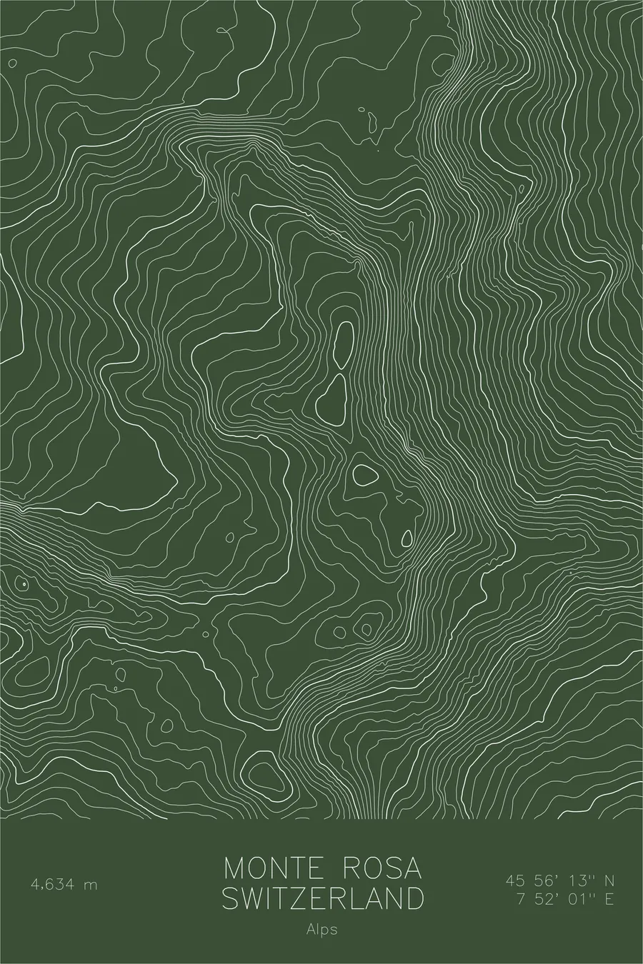
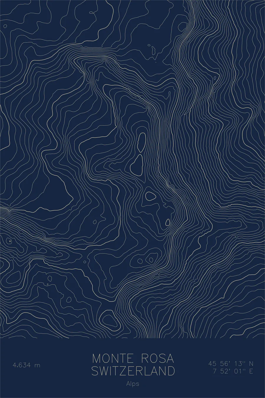
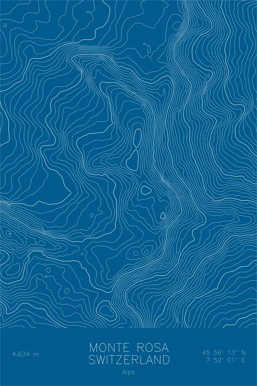
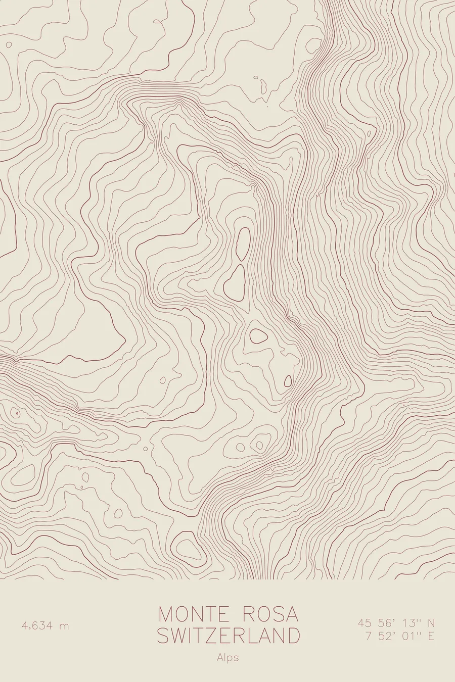
A pen-plotted topographic map of Monte Rosa in the Alps, Switzerland/Italy, drawn from real elevation contour data.
Second highest peak in the Alps. 15,203 feet above sea level.
$54
Ink & paper: Black
Size: 12×18"
+Personalize this map
+ Details
- 12 × 18 inches
- Drawn on 98 lb (160 gsm) archival cotton paper
- Precision technical pens and archival inks
- Signed and dated on the back
- Ships flat, protected, ready to frame
Each map begins with elevation data and is drawn by a pen plotter in our Vermont studio. Mechanical precision, plus the texture and small imperfections of real ink on paper.
Off the screen
In real rooms


+ About this map
Monte Rosa rises 15,203 feet on the border between Switzerland and Italy, the second highest massif in the Alps. Its culminating point, the Dufourspitze, is the highest summit in Switzerland, and it is only one of several tops above 4,000 meters strung along the frontier ridge. To the east, the mountain drops toward the Italian village of Macugnaga in a face nearly 8,000 feet high, the closest thing the Alps have to a Himalayan wall.
This map captures the scale of the massif. The contour lines trace the ice streams pouring off its western slopes toward Zermatt, where they join the Gorner Glacier, one of the largest glacier systems in the Alps. On the eastern side the lines compress into the dense bands of the Macugnaga face, and the summit ridge threads between the two worlds, linking top after top above the ice.
+ Map details
- Monte Rosa
- Switzerland/Italy
- Switzerland / Italy
- Alps
- Alps
- 15,203 ft / 4,634 m
- 45.9369N 7.8669E
- Mountain topographic map
- Original pen plot, archival ink on cotton paper
- 8 × 12 in · 12 × 18 in · 18 × 24 in
- Second highest peak in the Alps
More maps