Washington
Mount Adams
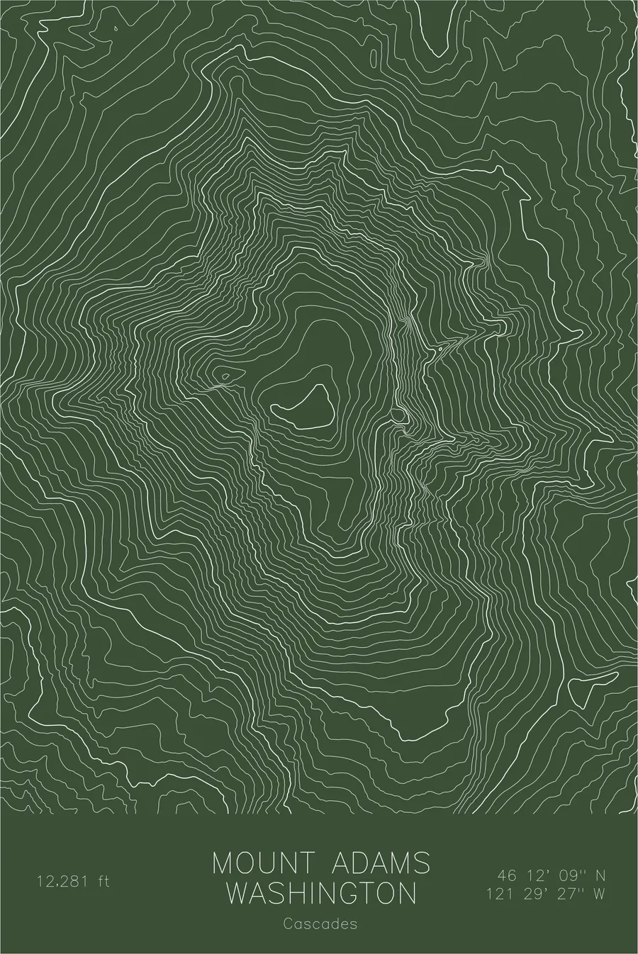
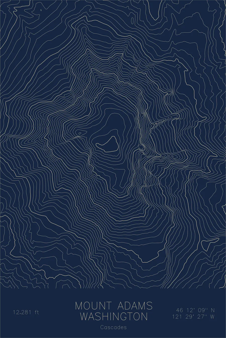
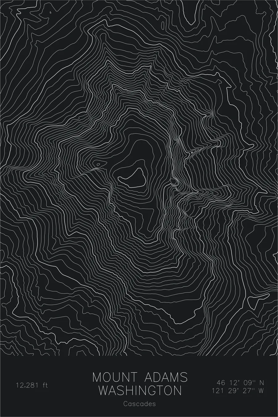
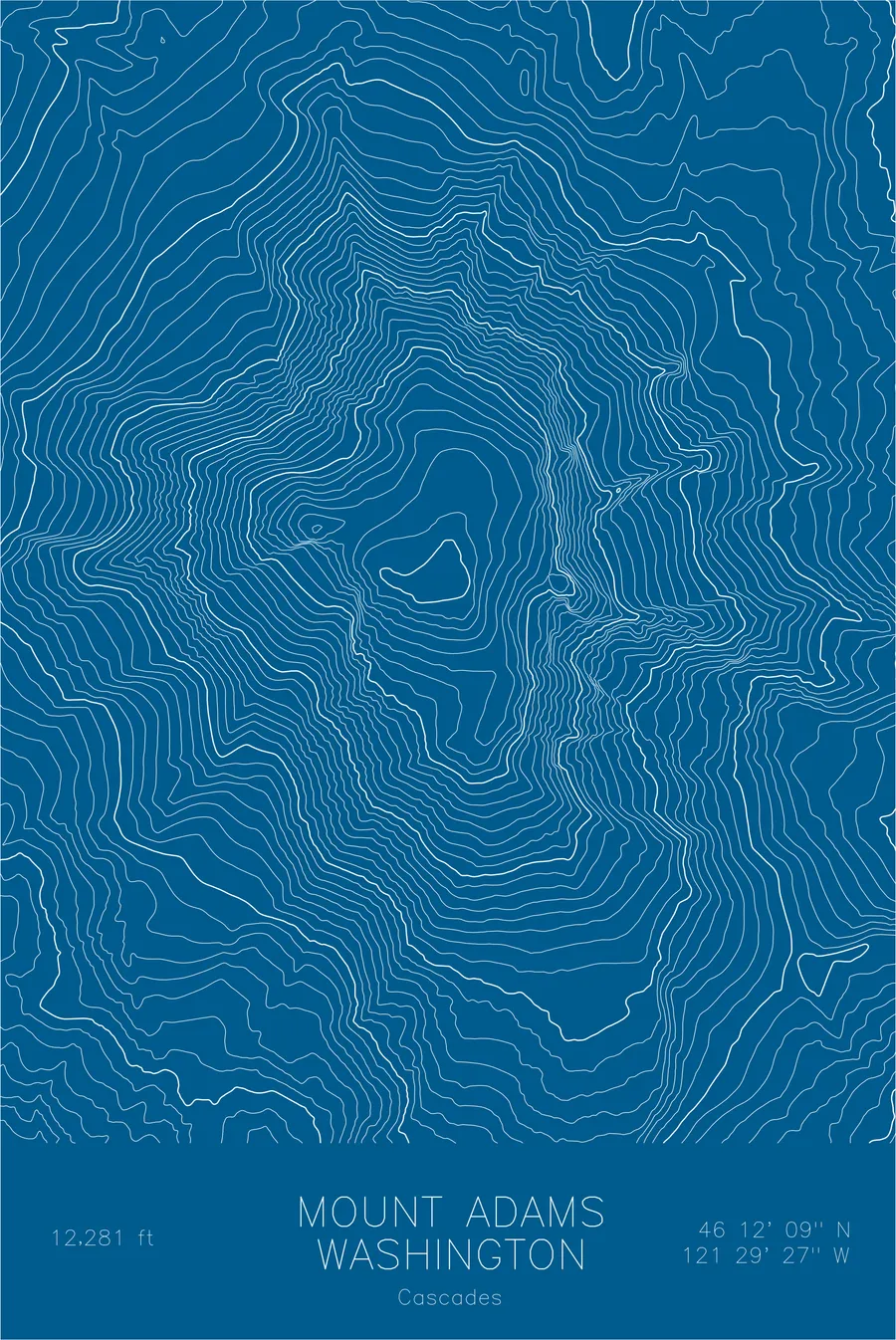
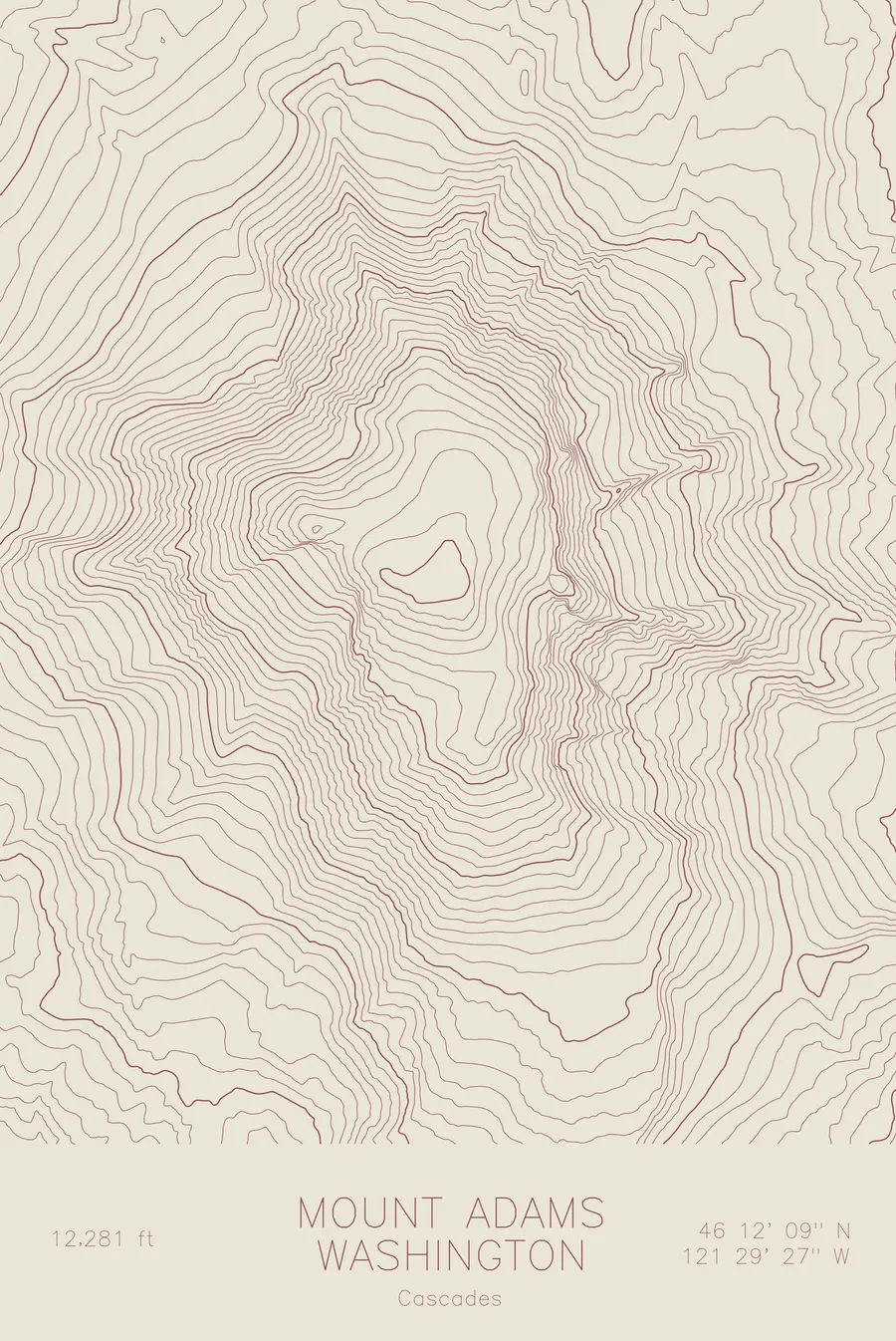
A pen-plotted topographic map of Mount Adams in the Cascades, Washington, drawn from real elevation contour data.
Second-highest peak in Washington, a massive stratovolcano second only to Shasta in volume among Cascade volcanoes. 12,281 feet above sea level.
$54
Ink & paper: Black
Size: 12×18"
+Personalize this map
+ Details
- 12 × 18 inches
- Drawn on 98 lb (160 gsm) archival cotton paper
- Precision technical pens and archival inks
- Signed and dated on the back
- Ships flat, protected, ready to frame
Each map begins with elevation data and is drawn by a pen plotter in our Vermont studio. Mechanical precision, plus the texture and small imperfections of real ink on paper.
Off the screen
In real rooms


+ About this map
Mount Adams stands 12,281 feet in the southern Washington Cascades, the second-highest peak in the state and one of the largest volcanoes by volume in the Cascade Range. It lacks the symmetry of Rainier or the notoriety of St. Helens, but its sheer mass is extraordinary: a broad, heavily glaciated cone that covers more area than any neighboring volcano. Twelve glaciers cling to its flanks, feeding the White Salmon, Klickitat, and Lewis rivers on their way to the Columbia.
This map reveals the mountain’s massive footprint. The contour lines spread wide across the lower slopes, reflecting the gentle grade of an enormous volcanic pile, then tighten steadily toward the summit where the terrain steepens. The deep glacial valleys that radiate from the peak, particularly the Klickitat and Adams glaciers, carve pronounced notches into the otherwise continuous contour bands, signatures of ice still actively reshaping the mountain.
+ Map details
- Mount Adams
- Washington
- United States
- Cascades
- Pacific Northwest
- 12,281 ft / 3,743 m
- 46.2024N 121.4909W
- Mountain topographic map
- Original pen plot, archival ink on cotton paper
- 8 × 12 in · 12 × 18 in · 18 × 24 in
- Second-highest peak in Washington, a massive stratovolcano second only to Shasta in volume among Cascade volcanoes
More maps