

Colorado
Mount Antero
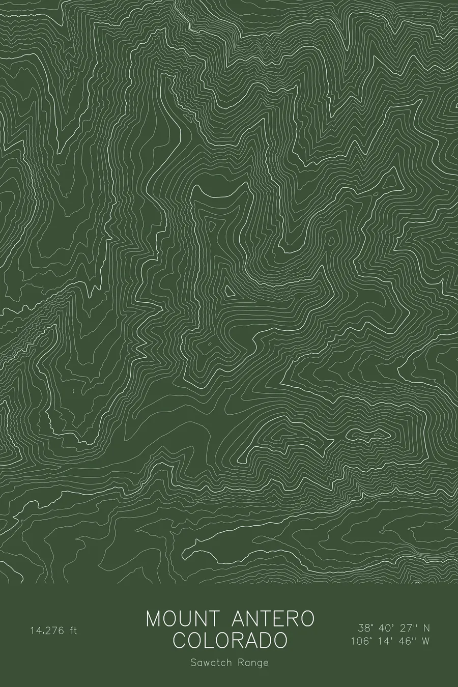
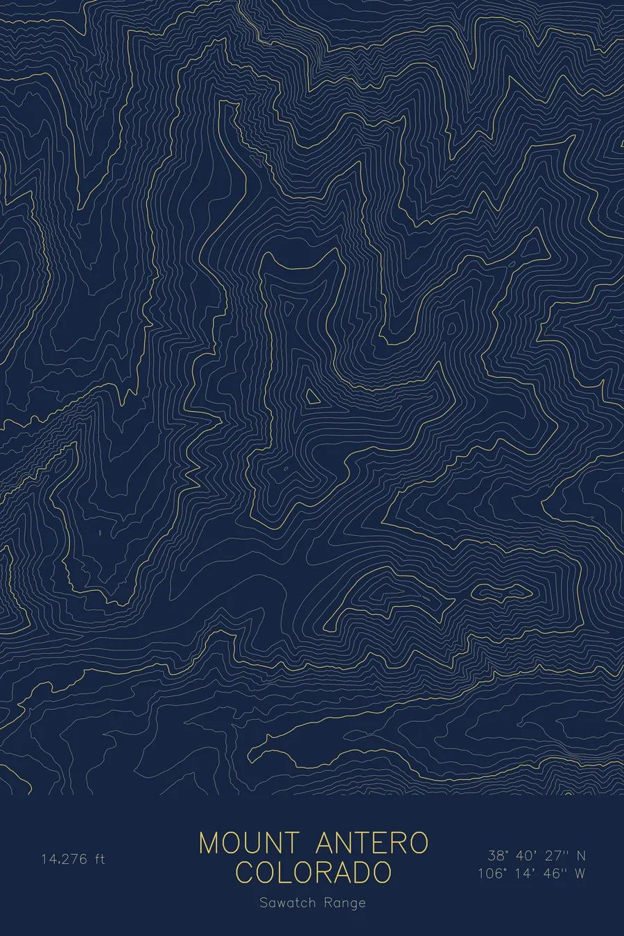
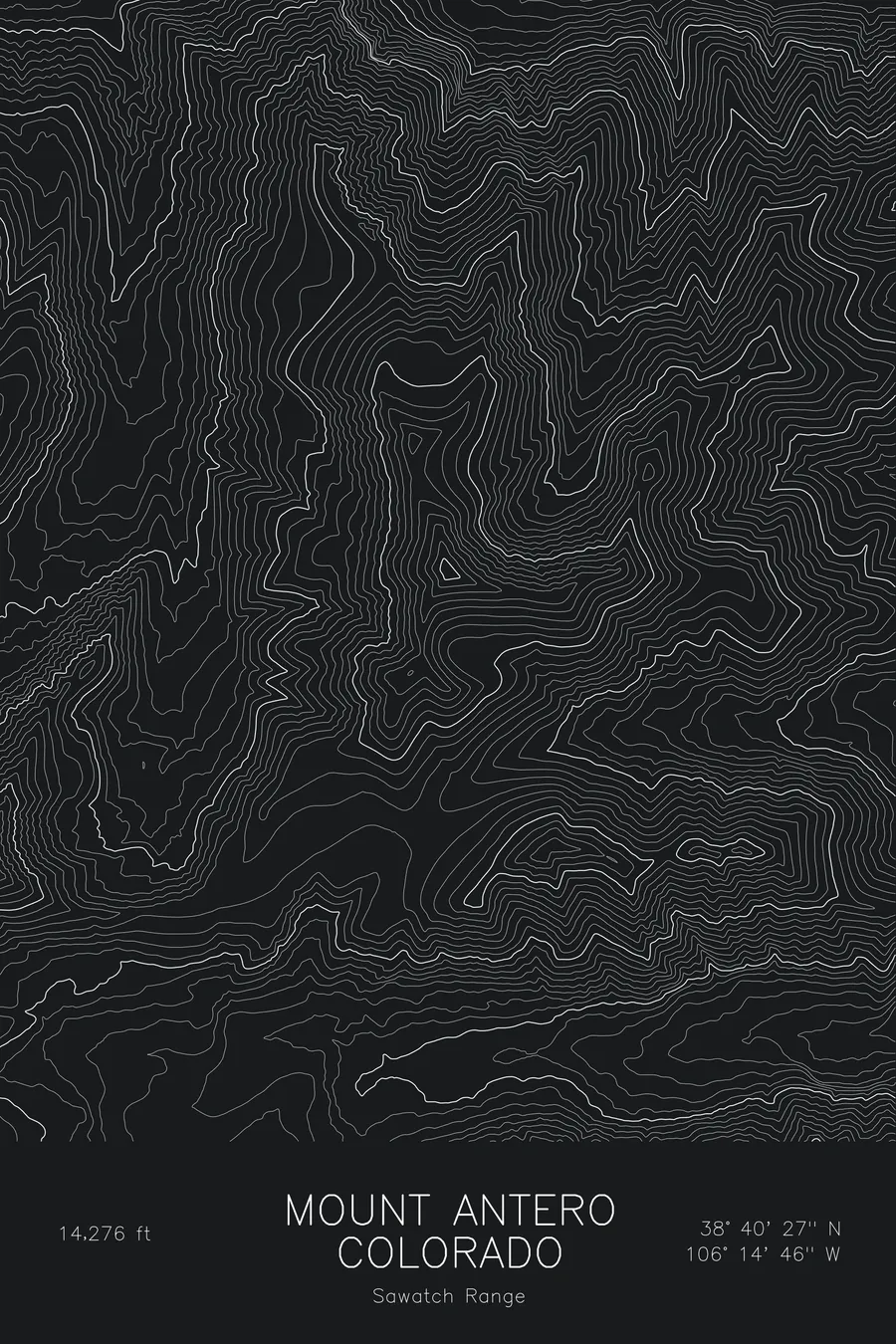
A pen-plotted topographic map of Mount Antero in the Sawatch Range, Colorado, drawn from real elevation contour data.
Famous for aquamarine and gem deposits high on its slopes. 14,276 feet above sea level.
$54
Ink & paper: Blue
Size: 12×18"
+Personalize this map
+ Details
- 12 × 18 inches
- Drawn on 98 lb (160 gsm) archival cotton paper
- Precision technical pens and archival inks
- Signed and dated on the back
- Ships flat, protected, ready to frame
Each map begins with elevation data and is drawn by a pen plotter in our Vermont studio. Mechanical precision, plus the texture and small imperfections of real ink on paper.
Off the screen
In real rooms


+ About this map
Mount Antero rises to 14,276 feet in Colorado’s Sawatch Range, a broad summit above Chalk Creek that is famous less for its climbing than for its gems. Aquamarine, topaz and smoky quartz occur high on its slopes, and a rough four-wheel-drive road climbs to within a few hundred feet of the summit through Baldwin Gulch to reach them. It is one of the highest mineral localities in North America.
This map traces a large, sprawling mountain. The contour lines spread across wide, gently sloping shoulders on the upper mountain, then tighten as the flanks drop into Chalk Creek and the surrounding drainages. The elevation on this sheet runs from about 8,700 feet in the valley to the summit, roughly 5,600 feet of relief, which makes this one of the deepest vertical ranges in the Sawatch series.
+ Map details
- Mount Antero
- Colorado
- United States
- Sawatch Range
- Sawatch Range
- 14,276 ft / 4,351 m
- 38.6741N 106.2462W
- Mountain topographic map
- Original pen plot, archival ink on cotton paper
- 8 × 12 in · 12 × 18 in · 18 × 24 in
- Famous for aquamarine and gem deposits high on its slopes
More maps