Washington
Mount Baker
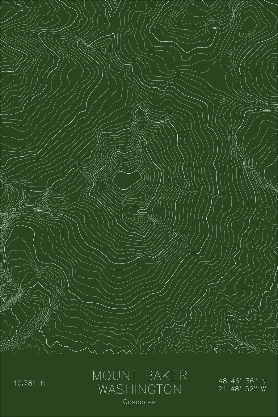
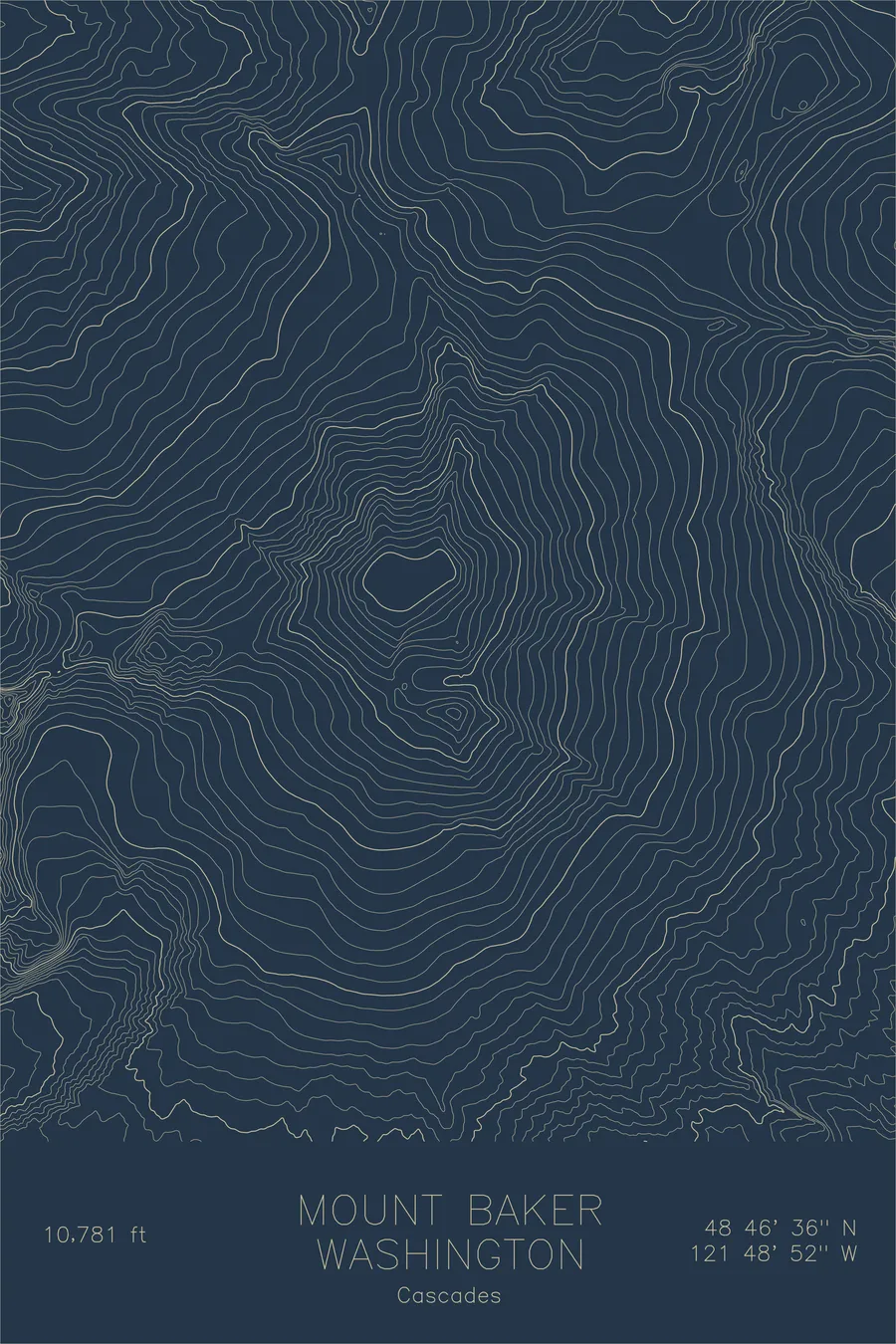
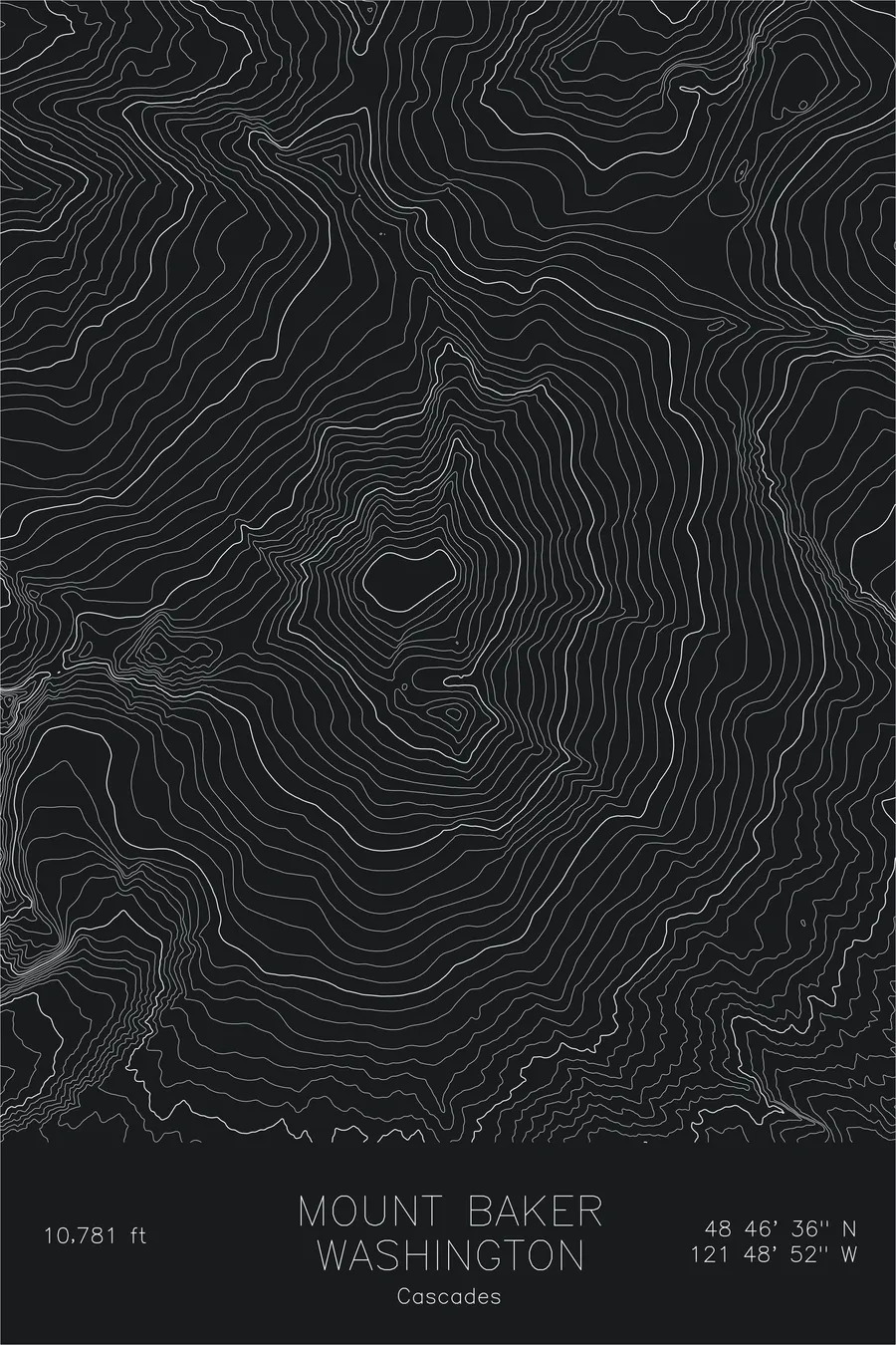
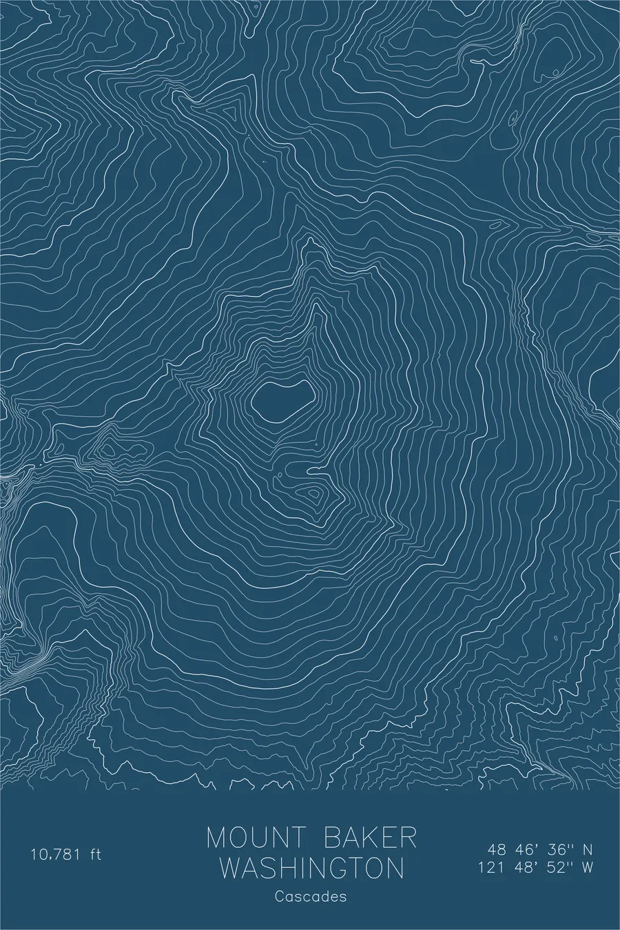
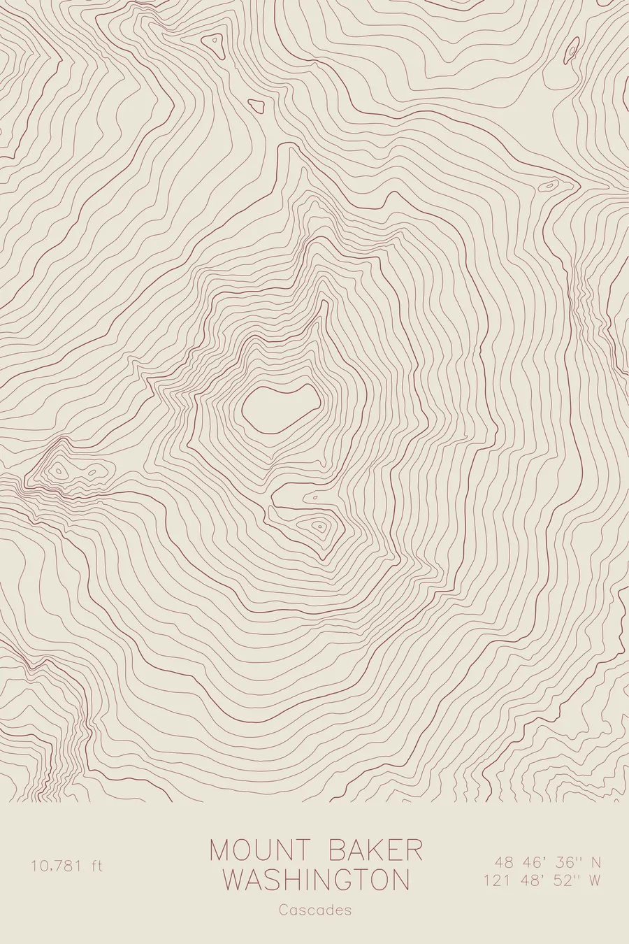
A pen-plotted topographic map of Mount Baker in the Cascades, Washington, drawn from real elevation contour data.
Volcano. Holds the world record for measured snowfall in a single season: 1,140 inches in 1998-99. 10,781 feet above sea level.
$54
Ink & paper: Green
Size: 12×18"
+Personalize this map
+ Details
- 12 × 18 inches
- Drawn on 98 lb (160 gsm) archival cotton paper
- Precision technical pens and archival inks
- Signed and dated on the back
- Ships flat, protected, ready to frame
Each map begins with elevation data and is drawn by a pen plotter in our Vermont studio. Mechanical precision, plus the texture and small imperfections of real ink on paper.
Off the screen
In real rooms


+ About this map
Mount Baker rises 10,781 feet in the North Cascades, the most heavily glaciated peak in the range after Rainier and the northernmost volcano in the contiguous United States. It holds the world record for measured snowfall in a single season: 1,140 inches during the winter of 1998-99. The mountain is an active stratovolcano; Sherman Crater near the summit still vents steam and sulfurous gas, a reminder that the geology here is ongoing.
This map captures the ice-carved symmetry of Baker’s cone. The contour lines reveal the tight radial pattern of a peak shaped equally by volcanic buildup and glacial erosion. The major glaciers (Coleman, Deming, Easton, and Boulder) appear as wide valleys where the contour lines bow outward, interrupted by the crevasse fields and icefalls that define the mountain’s upper reaches.
+ Map details
- Mount Baker
- Washington
- United States
- Cascades
- Pacific Northwest
- 10,781 ft / 3,286 m
- 48.7768N 121.8145W
- Mountain topographic map
- Original pen plot, archival ink on cotton paper
- 8 × 12 in · 12 × 18 in · 18 × 24 in
- Volcano. Holds the world record for measured snowfall in a single season: 1,140 inches in 1998-99
More maps