

Colorado
Mount Columbia
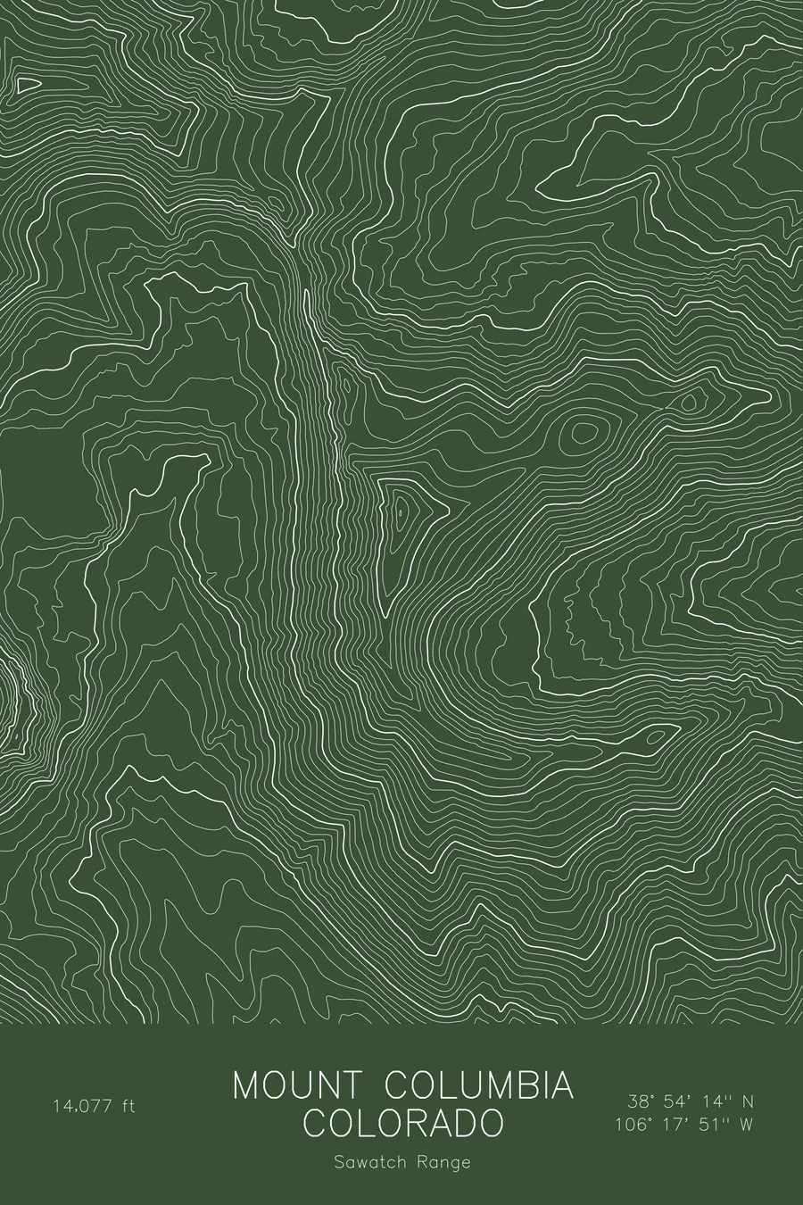
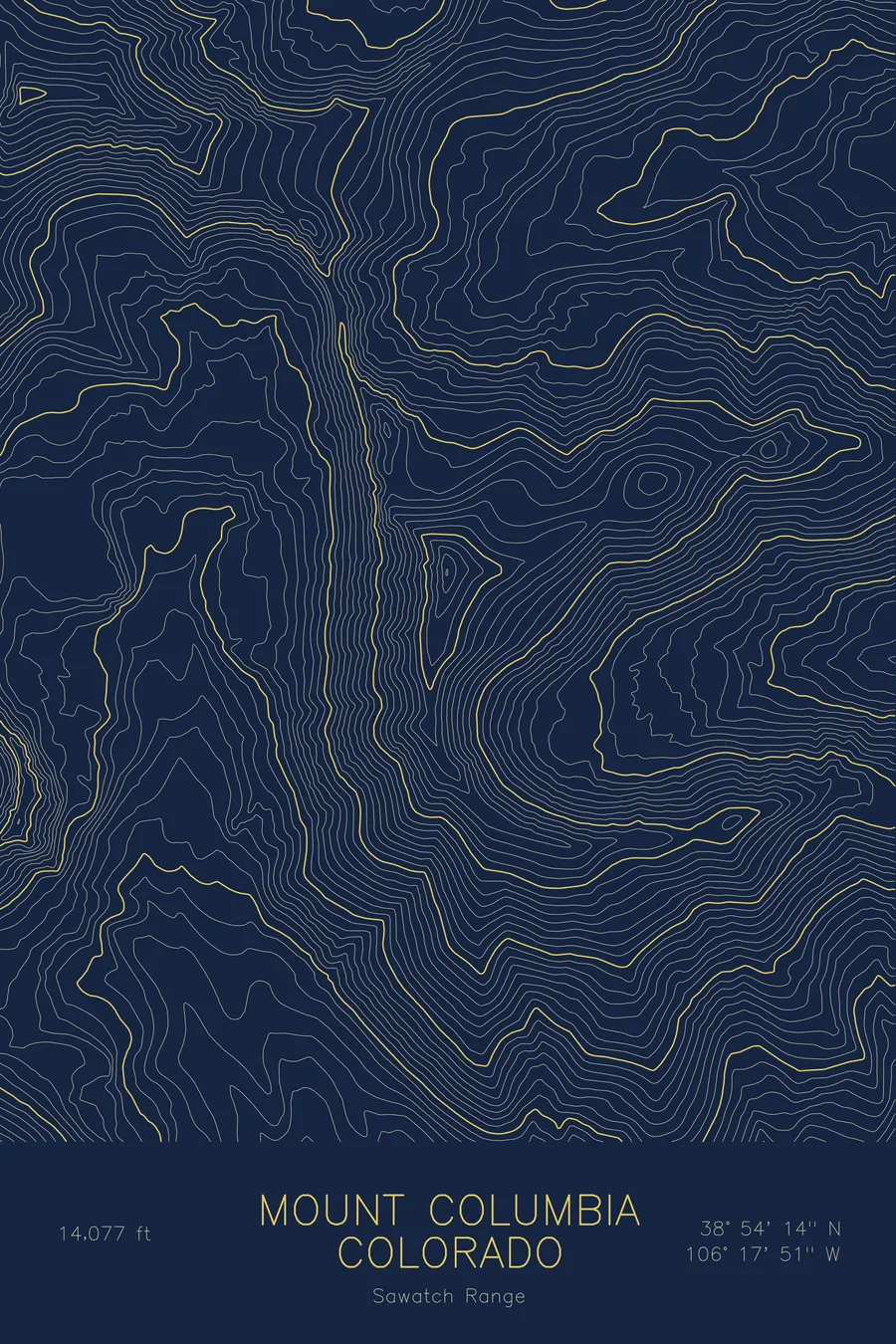
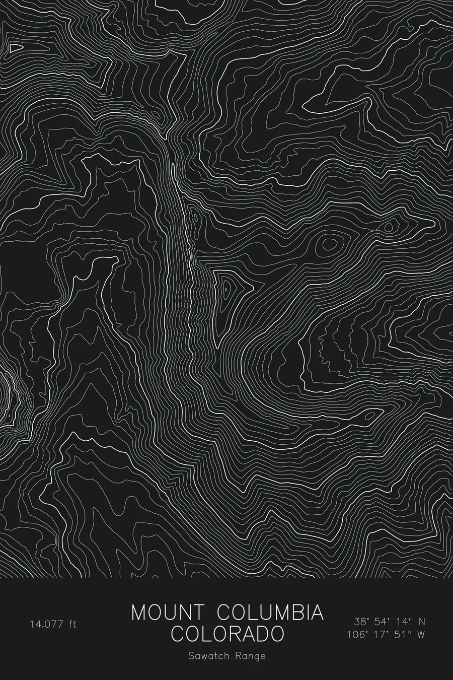
A pen-plotted topographic map of Mount Columbia in the Sawatch Range, Colorado, drawn from real elevation contour data.
Collegiate Peak often paired with Mount Harvard. 14,077 feet above sea level.
$54
Ink & paper: Blue
Size: 12×18"
+Personalize this map
+ Details
- 12 × 18 inches
- Drawn on 98 lb (160 gsm) archival cotton paper
- Precision technical pens and archival inks
- Signed and dated on the back
- Ships flat, protected, ready to frame
Each map begins with elevation data and is drawn by a pen plotter in our Vermont studio. Mechanical precision, plus the texture and small imperfections of real ink on paper.
Off the screen
In real rooms


+ About this map
Mount Columbia rises to 14,077 feet in Colorado’s Sawatch Range, one of the Collegiate Peaks above the Arkansas Valley and the near neighbor of Mount Harvard. The two are usually spoken of together: a long, high ridge connects them, and the Harvard to Columbia traverse is a classic day for anyone working through the state’s fourteeners.
This map traces the long north-south spine of the mountain. The contour lines run in dense parallel bands down the west face into Horn Fork Basin, where the loose scree of the standard route climbs, and spread more gently on the east toward Frenchman Creek. Harvard’s summit sits in the northwest corner of the frame, and the connecting ridge between the two can be followed as a continuous crest of tight contours. Within this frame the terrain covers about 3,500 feet from the basin floor to the summit, a typical Sawatch profile: broad, rounded, and steeper than it looks from the valley.
+ Map details
- Mount Columbia
- Colorado
- United States
- Sawatch Range
- Sawatch Range
- 14,077 ft / 4,291 m
- 38.9039N 106.2975W
- Mountain topographic map
- Original pen plot, archival ink on cotton paper
- 8 × 12 in · 12 × 18 in · 18 × 24 in
- Collegiate Peak often paired with Mount Harvard
More maps


