



New Hampshire
Mount Eisenhower
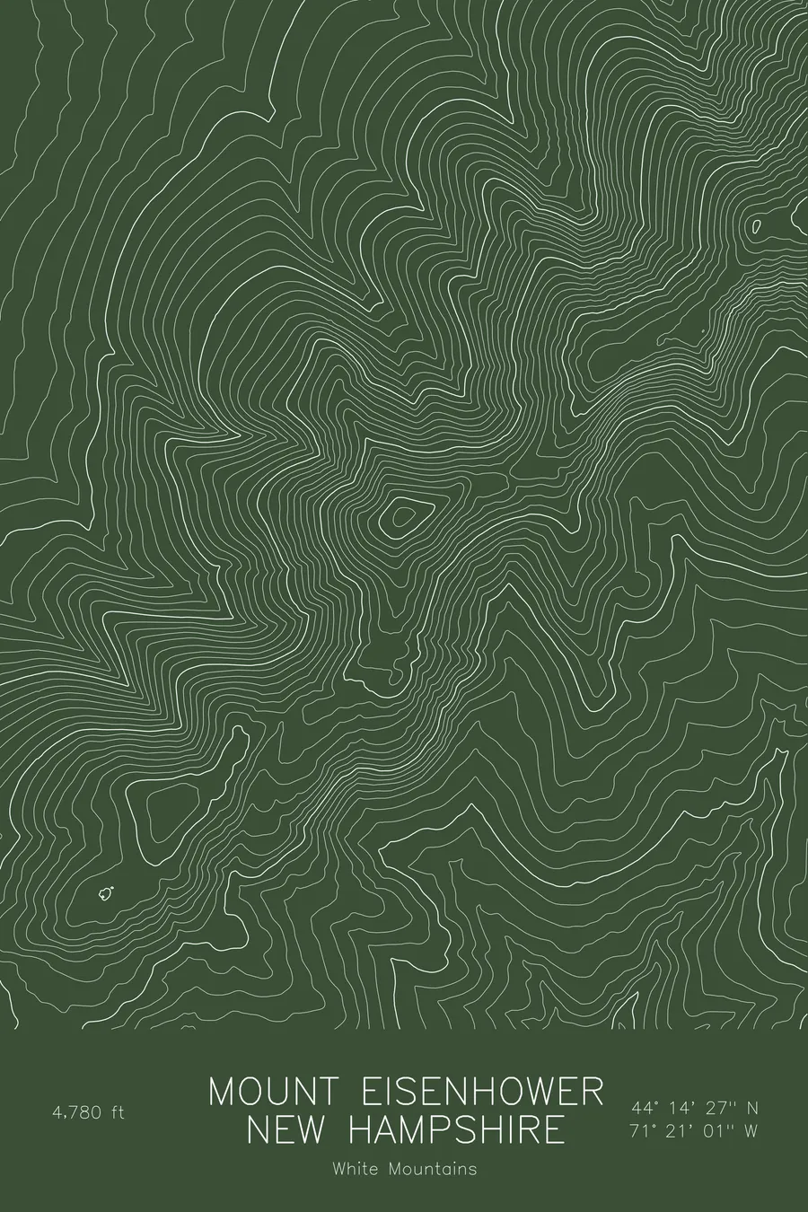
A pen-plotted topographic map of Mount Eisenhower in the White Mountains, New Hampshire, drawn from real elevation contour data.
Bald dome of the southern Presidential Range, formerly Mount Pleasant. 4,780 feet above sea level.
$54
Ink & paper: Blue
Size: 12×18"
+Personalize this map
+ Details
- 12 × 18 inches
- Drawn on 98 lb (160 gsm) archival cotton paper
- Precision technical pens and archival inks
- Signed and dated on the back
- Ships flat, protected, ready to frame
Each map begins with elevation data and is drawn by a pen plotter in our Vermont studio. Mechanical precision, plus the texture and small imperfections of real ink on paper.
Off the screen
In real rooms


+ About this map
Mount Eisenhower rises to 4,780 feet in the southern Presidential Range of New Hampshire, a bald, rounded dome that is easy to pick out from anywhere along the ridge. It was called Mount Pleasant until 1969, and the Crawford Path, the oldest continuously maintained hiking trail in the United States, skirts its summit on the way north to Mount Washington.
This map traces the dome and the ridges that lead to it. The summit shows as a tight set of concentric rings, distinct from the more angular peaks around it, with the Edmands Path climbing the western slopes and the Crawford Path running along the crest from Pierce toward Franklin and Monroe. The east side falls away steeply into the headwaters of the Dry River, while the ridge climbing northeast toward Monroe carries the highest ground in the frame. Within this frame the terrain covers roughly 3,100 feet from the valley bottoms to the ridgeline.
+ Map details
- Mount Eisenhower
- New Hampshire
- United States
- White Mountains
- White Mountains
- 4,780 ft / 1,457 m
- 44.2407N 71.3502W
- Mountain topographic map
- Original pen plot, archival ink on cotton paper
- 8 × 12 in · 12 × 18 in · 18 × 24 in
- Bald dome of the southern Presidential Range, formerly Mount Pleasant
More maps