Colorado
Mount Elbert
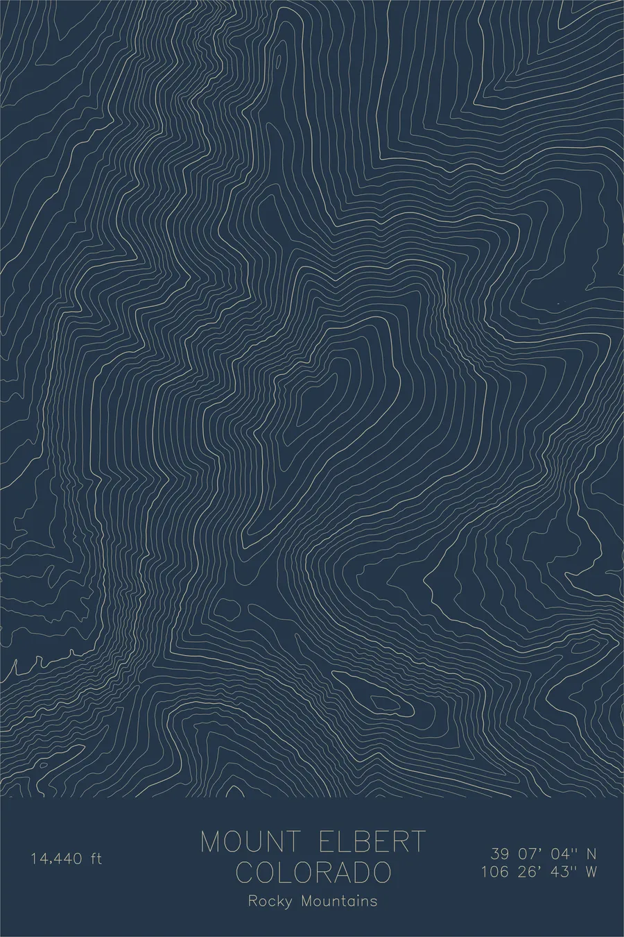
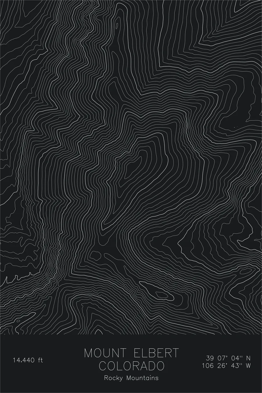
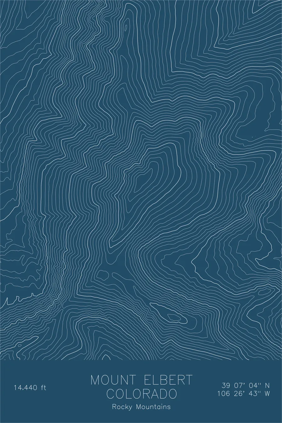
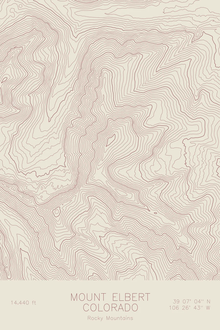
A pen-plotted topographic map of Mount Elbert in the Rocky Mountains, Colorado, drawn from real elevation contour data.
Highest peak in the Rocky Mountains and the highest summit in Colorado. 14,440 feet above sea level.
$54
Ink & paper: Green
Size: 12×18"
+Personalize this map
+ Details
- 12 × 18 inches
- Drawn on 98 lb (160 gsm) archival cotton paper
- Precision technical pens and archival inks
- Signed and dated on the back
- Ships flat, protected, ready to frame
Each map begins with elevation data and is drawn by a pen plotter in our Vermont studio. Mechanical precision, plus the texture and small imperfections of real ink on paper.
Off the screen
In real rooms


+ About this map
Mount Elbert stands at 14,440 feet, the highest peak in the entire Rocky Mountain chain and the highest point in Colorado. It anchors the Sawatch Range, a long spine of broad-shouldered fourteeners that forms the backbone of the central Rockies. Despite being the tallest, Elbert is not the most dramatic. Its massive, rounded ridgeline spreads wide rather than rising to a sharp point, a shape that can deceive climbers into underestimating the mountain’s scale.
This map reveals the true dimensions of that deception. The contour lines show a peak of enormous girth, with long, gradually steepening ridges that extend for miles in every direction. The upper mountain rises above treeline in sweeping alpine tundra, while the flanks are cut by drainage basins that feed into both the Arkansas River to the east and Halfmoon Creek to the north. The Continental Divide passes just miles to the west.
+ Map details
- Mount Elbert
- Colorado
- United States
- Rocky Mountains
- Rocky Mountains
- 14,440 ft / 4,401 m
- 39.1178N 106.4453W
- Mountain topographic map
- Original pen plot, archival ink on cotton paper
- 8 × 12 in · 12 × 18 in · 18 × 24 in
- Highest peak in the Rocky Mountains and the highest summit in Colorado
More maps