
Russia
Mount Elbrus
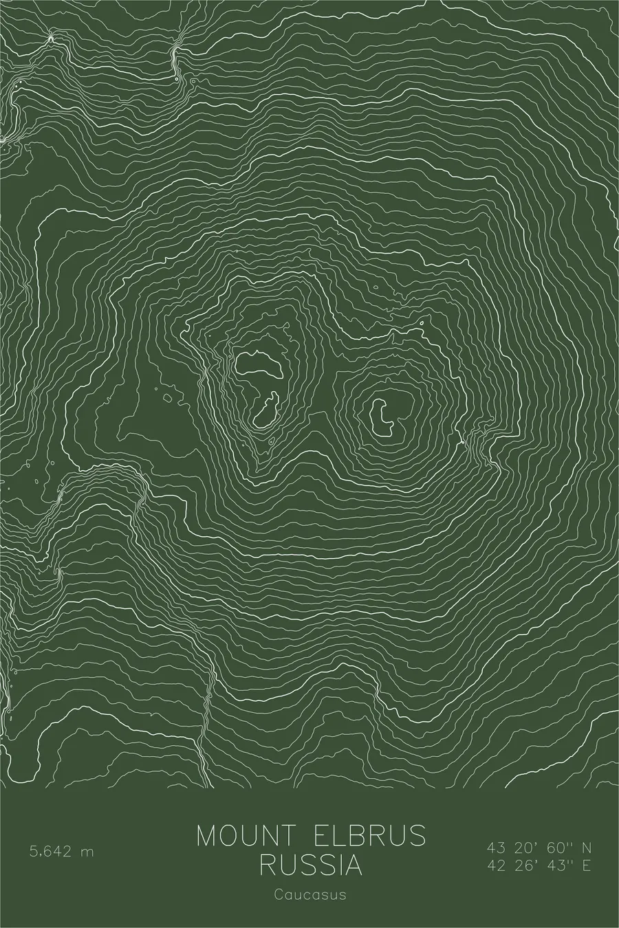
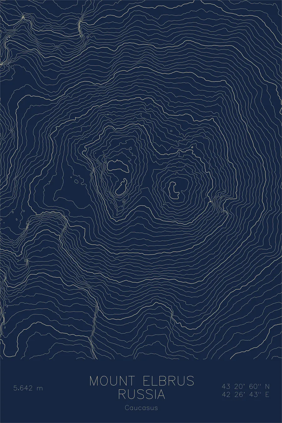
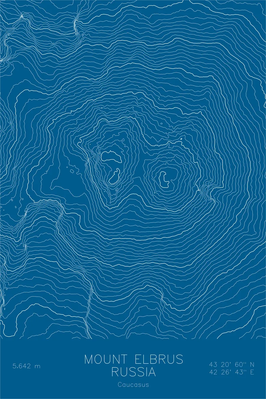
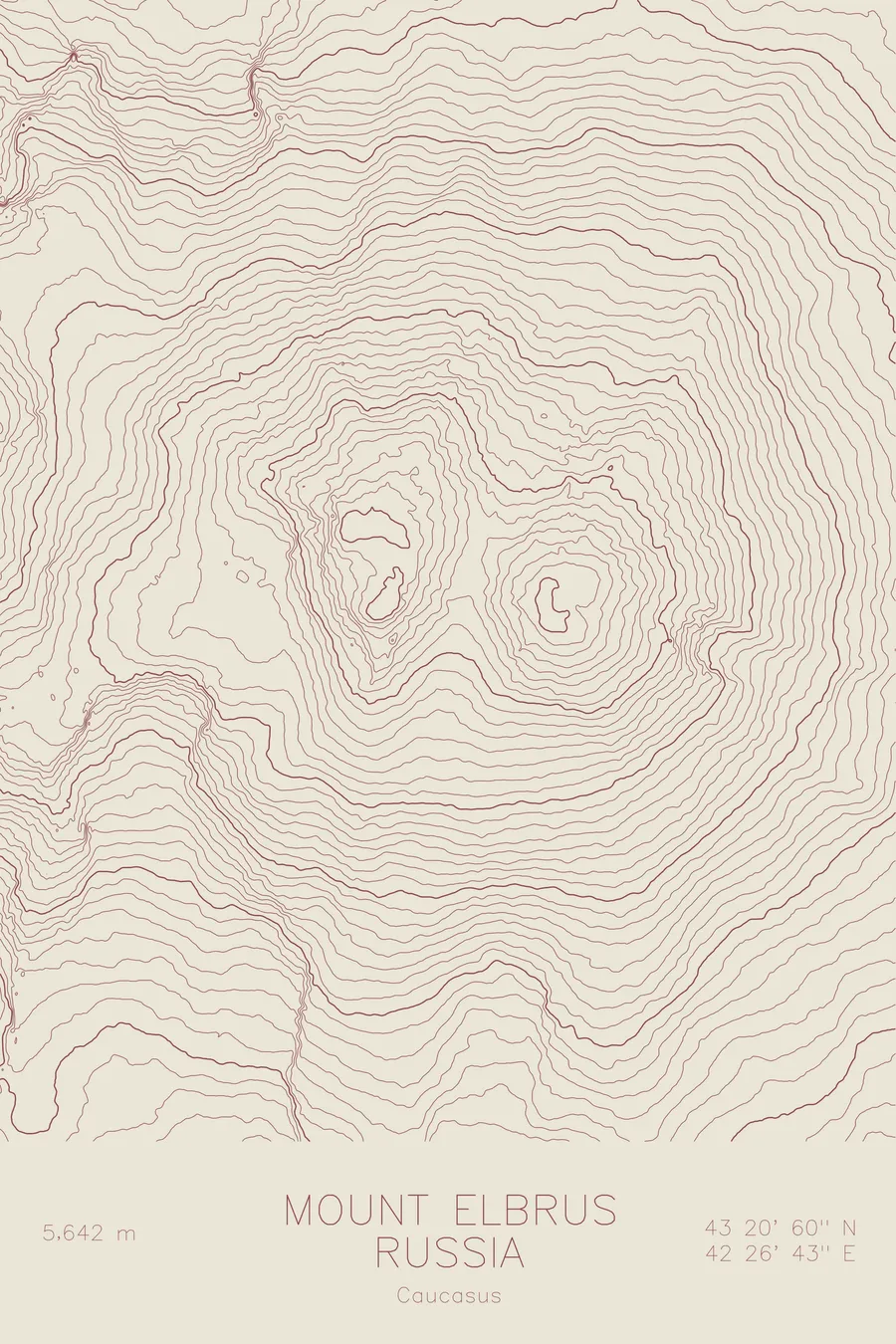
A pen-plotted topographic map of Mount Elbrus in the Caucasus, Russia, drawn from real elevation contour data.
Highest peak in Europe, Seven Summits. 18,510 feet above sea level.
$54
Ink & paper: Black
Size: 12×18"
+Personalize this map
+ Details
- 12 × 18 inches
- Drawn on 98 lb (160 gsm) archival cotton paper
- Precision technical pens and archival inks
- Signed and dated on the back
- Ships flat, protected, ready to frame
Each map begins with elevation data and is drawn by a pen plotter in our Vermont studio. Mechanical precision, plus the texture and small imperfections of real ink on paper.
Off the screen
In real rooms


+ About this map
Mount Elbrus rises 18,510 feet in the Caucasus of southern Russia, the highest peak in Europe and one of the Seven Summits. It is a dormant volcano rather than a folded alpine peak, a huge twin-coned massif standing just north of the main Caucasus watershed. Ice covers it year round, feeding more than twenty named glaciers that supply the rivers of the surrounding valleys.
This map makes the volcanic origin plain. Instead of the knife ridges of the peaks around it, the contour lines trace two broad, nearly symmetrical summit cones separated by a high saddle, the western cone slightly taller than the eastern. The lines spread smoothly and evenly down every flank until they break into the sharper, more chaotic texture of the surrounding Caucasus ridges and the deep trench of the Baksan Valley to the south.
+ Map details
- Mount Elbrus
- Russia
- Caucasus
- Caucasus
- 18,510 ft / 5,642 m
- 43.3499N 42.4453E
- Mountain topographic map
- Original pen plot, archival ink on cotton paper
- 8 × 12 in · 12 × 18 in · 18 × 24 in
- Highest peak in Europe, Seven Summits
More maps