

Colorado
Mount Eolus
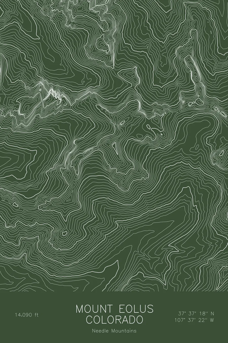
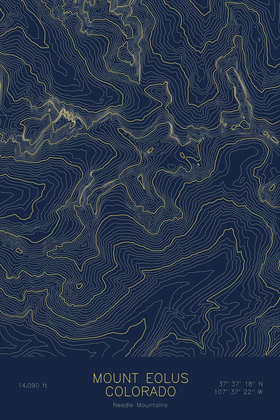
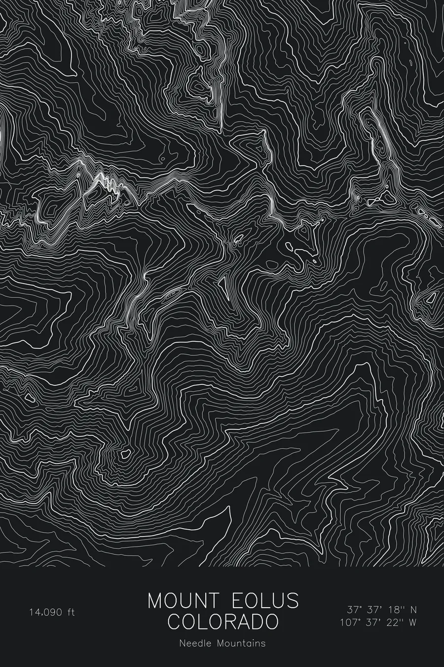
A pen-plotted topographic map of Mount Eolus in the Needle Mountains, Colorado, drawn from real elevation contour data.
Chicago Basin 14er in the Weminuche Wilderness, famous for the Catwalk ridge. 14,090 feet above sea level.
$54
Ink & paper: Blue
Size: 12×18"
+Personalize this map
+ Details
- 12 × 18 inches
- Drawn on 98 lb (160 gsm) archival cotton paper
- Precision technical pens and archival inks
- Signed and dated on the back
- Ships flat, protected, ready to frame
Each map begins with elevation data and is drawn by a pen plotter in our Vermont studio. Mechanical precision, plus the texture and small imperfections of real ink on paper.
Off the screen
In real rooms


+ About this map
Mount Eolus rises to 14,090 feet in the Needle Mountains of southwest Colorado, deep in the Weminuche Wilderness. There is no road to it. Climbers ride the Durango and Silverton narrow gauge railroad to Needleton, then walk up into Chicago Basin, where Eolus, Sunlight, and Windom stand in a ring above the Twin Lakes. The final approach to the summit crosses the Catwalk, a narrow ridge of exposed rock that gives the peak its reputation.
This map traces some of the roughest terrain in the state. The contour lines are compressed almost everywhere, with the west side falling toward the Animas canyon and the steep east side above Chicago Basin drawn as near-solid bands. North Eolus sits just off the main summit, separated by the notch of the Catwalk. Within this frame the terrain drops about 3,800 feet from the summit to the valley floors, and there is very little of the gentle alpine tundra that softens the fourteeners farther north.
+ Map details
- Mount Eolus
- Colorado
- United States
- Needle Mountains
- Needle Mountains
- 14,090 ft / 4,295 m
- 37.6218N 107.6227W
- Mountain topographic map
- Original pen plot, archival ink on cotton paper
- 8 × 12 in · 12 × 18 in · 18 × 24 in
- Chicago Basin 14er in the Weminuche Wilderness, famous for the Catwalk ridge
More maps